Last week, the top temperature in the UK was a balmy 27.8C on Friday 19th. Cardiff had reached 23C on the 6th, Edinburgh up to 22.5C on the 7th and County Down peaked in September on the 1st with 20.7C. It had been a warm and often wet first part of the month. By Sunday 21st, there were a few spots just passing 17.5C in southeastern Britain but feeling more of a chill from the north wind by the end of the weekend. There was a more dramatic change in the north as a fresh to strong north wind took hold. Shetland struggled to 10C but felt more like +4C on Sunday. Saturday into Sunday, there had been a rash of rain showers for northern Scotland with snow lying at the top of Cairngorm Mountain by Sunday morning. Autumn is taking hold even with plenty of sunshine for the new week.
Snow for the top of Cairngorm, NE Scotland on Sunday morning, over 1000m
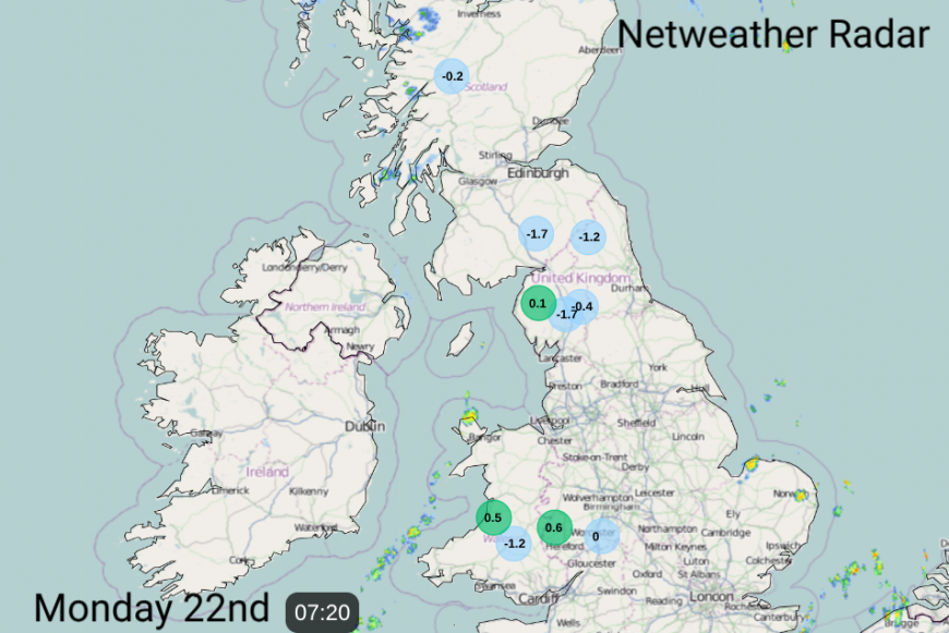
The change from warm air to cold Polar Maritime air took place on Saturday night as a low pressure over Britain cleared away over the North Sea. The waving fronts from this system brought heavy and persistent rain to parts of Wales and northern England, with Ceredigion recording 66.8mm of rain in 24 hours on Saturday. In the cold northerly that followed, there was a chilly start on Sunday and for Monday morning. Eskdalemuir fell to -2.1, Katesbridge in Northern Ireland down to -1.3C, Shap Fell in Cumbria -1.9C and Sennybridge, Powys -1.7C and there were some areas seeing a frost on the grass, or a bit of frost on the windscreen.
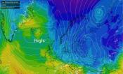
High pressure has moved over the UK, bringing clear skies with sunshine by day. With mostly lighter winds, any daytime heat is quickly radiating away under the clear skies and the temperatures are tumbling in the colder air flow. The winds are backing around to the northwest for the far north of Scotland so instead of the polar flow the air is coming from the north Atlantic. So not as chilly, but certainly not the warmth from the south that many areas had been experiencing last week.
The influence of that cold polar air lessens during Tuesday and Wednesday as the dry, sunny weather continues. There will be a few scattered showers clipping East Anglia and the far SE of England at the edge of the high, where the breeze is more noticeable. Otherwise, it is a settled, colder start to the week. Chilly by night but not as cold as last night and back to dry weather, which isn’t good news for those areas still in drought.
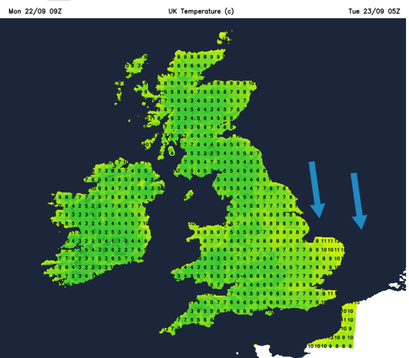
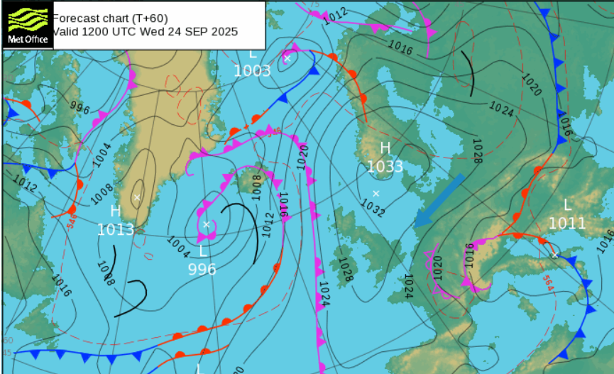
Temperatures in Scotland, Northern Ireland and northern England start around 15C on Monday. Many places in Wales and the rest of England will be similar but some spots could reach 17C perhaps 18C for London today. Through the week, there will be a slight increase with more areas seeing 16 to 21C but the breeze over eastern England and the southeast will make it feel cooler as the high pressure slips away over Denmark.
Loading recent activity...