After a wet September for many of us so far, we are set to move into a more settled weather pattern with high pressure close by. The specifics will be a bit different to what I envisaged earlier in the month, as previously it looked likely that high pressure would move in from the south or south-west and especially affect southern areas. Currently, it is looking far more likely that, after a chilly northerly outbreak today and on Monday, we will see a Scandinavian blocking high establish, bringing winds mainly from the east and south.
With high pressure building after the northerly, some notably cold nights for the time of year look probable. Early on Monday and Tuesday, there may well be ground frosts quite widely, and air frosts in some prone frost hollows in Scotland, with temperatures widely dropping below 4C.
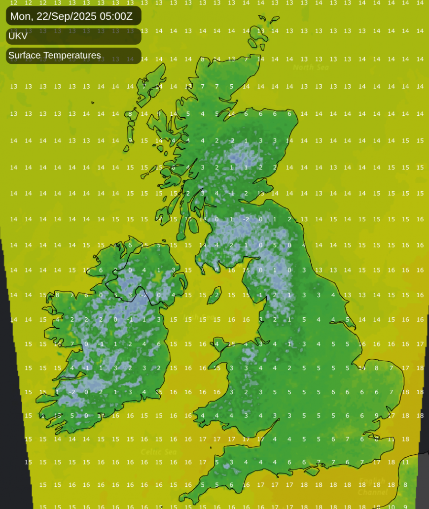
The exception will be eastern England, where northerly and then easterly winds will bring more cloud and milder temperatures in off the North Sea, preventing the nights from getting particularly cold. It will be a shock to the system for many to see below-average temperatures, because for most of the country, temperatures have persistently been near or above the 1991-2020 long-term average for a long time. The most recent spell of substantially cooler than average weather was back in early June (and this was soon heavily outweighed by frequent warm/hot weather in mid to late June).
Temperatures will recover after falling below average during the northerly blast, but it looks set to remain rather cool for a while, with easterly winds bringing relatively cool air masses in from central Europe, which will also be affected by northerlies into next week. But as we head towards the end of September and early October, it is likely to return to being rather warmer than average for the time of year, with high pressure becoming centred more to the east and winds becoming predominantly southerly.
A drier last third of September means that September 2025 as a whole will probably not be outstandingly wet for most parts of the country, although many regions may record above average rainfall, which has been a rarity since February this year. It is likely that at some point more unsettled weather will spread in from the west, pushing away the Scandinavian high, but it is increasingly looking probable that this won’t happen until after the beginning of October, especially for eastern parts of the country which will be most strongly affected by the blocking high.
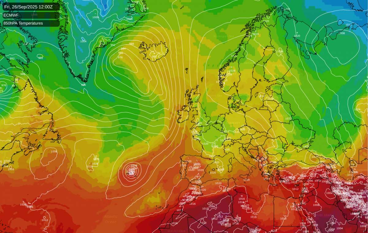
At this time of year, there is often a lot of uncertainty in the weather outlook because ex-tropical storms often cross the North Atlantic and their remnants become embedded in extratropical lows, bringing very strong winds and disruptions to the overall weather pattern. A vicious ex-tropical low will be crossing the North Atlantic during the mid to latter part of this coming week. Most forecast models are split between two scenarios. The dominant Scandinavian high will be associated with a split jet stream, taking most of the lows towards northern Scandinavia, with a second, weaker, arm of the jet heading into central and southern Europe. Thus, the two most likely tracks for this low are either up towards Iceland, where it could remain intense, or towards Spain and Portugal, where it would be likely to fill and fizzle out before hitting the land masses.
But there is a slight chance of this low making it over to the British Isles, should the Scandinavian high be far away enough to the north-east to allow it to reach western and/or southern Britain. Saturday morning’s operational run from the ECMWF showed this scenario, with the low initially heading towards Spain and Portugal, but then deepening and pushing north-east towards southern Britain. Next weekend is shown as having very strong winds and a lot of rain particularly for the south of England. In this model run, the low isn’t forecast to be disruptive to the overall weather pattern, as the low is then forecast to fill over the south and be followed by a return to more settled conditions.
It must be stressed that it currently looks unlikely that this low will make it over to the British Isles - this is only one model run, and the model accuracy at 7-8 days out is often relatively low in this type of situation. The Met Office model operational run this morning, for instance, has a more likely scenario of the low stalling and dissipating to the north-west of Portugal as it heads towards the Scandinavian blocking high. But this ECMWF model run highlights the fact that these ex-tropical lows can cause a lot of uncertainty.
Loading recent activity...