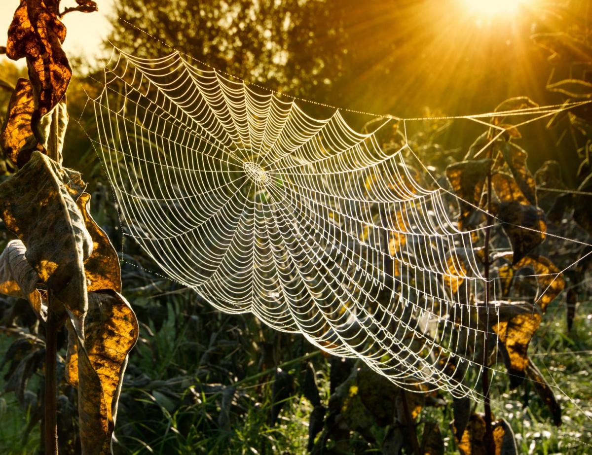
September 2025 has so far got off to a very unsettled start. For many of us, there has been a strong emphasis on sunshine-and-showers days as opposed to dull wet weather, and so sunshine totals have generally been near normal so far, except around the Irish Sea where it has been rather dull due to frequent westerly winds. It has, however, still tended to be a bit warmer than average for the time of year, probably mainly due to the marine heatwave that is persisting around the British Isles, with unusually high sea surface temperatures helping to modify and warm the polar maritime air masses that have recently been bringing numerous days of sunshine and showers.
For some of us it has also been quite a thundery start to September. Although thunderstorms tend to peak in the summer months, homegrown convection is quite common at any time of year from mid-February to late October. Even in October, we occasionally get spells with fairly widespread thundery activity, most recently in mid to late October 2022, though by November thunderstorms are typically rare. 2006 was an earlier example of where some areas of the country, particularly the south-west, had frequent thunder through September and October. September 1999 was also a thundery month over much of England, with some sites in the Midlands and south observing thunder on 6 or 7 days.
Historically it has been common for a warm and dry spring and summer to be followed by a wet start to September. 1976 was an extreme case, when after the famously hot dry sunny summer, there was an abrupt flip to wet weather in early September, and September and October 1976 were exceptionally wet and dull for most of the country. In 1995, there was a more temporary flip. It was predominantly drier than average that year from around 20 March through to the beginning of September, which culminated in an exceptionally hot dry sunny August. There was then an abrupt flip to very wet weather for much of the country in early September, particularly in north-east Scotland. However, except in western Scotland (where there were also wet spells in October), the wet weather only lasted until mid-September and it then returned to being generally dry until well into November.
Such a flip from wet to dry conditions doesn’t always happen in September, though. 2003 and 2018 were good examples of where predominantly drier than average weather set in at some point during the spring and persisted for much of the summer, and a generally dry sunny September followed. In 2022, after a generally warm/hot dry sunny spring and summer for most of the country, it turned wetter in September and October but not unusually so.
Returning to the present, it is looking likely that the wet weather in the first half of September will not be sustained through the second half. I had originally envisaged that high pressure areas would start pushing across the country, especially the south, starting around mid-month, but this is looking set to be delayed until around the 20th now. But there is strong cross-model support for settled spells during the last third of September, with high pressure centres often pushing a fair way north and covering most of the country.
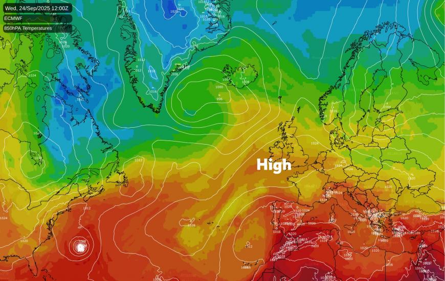
It won’t be a case of wall-to-wall dry sunny weather - there are likely to be some wetter, more unsettled interruptions in between the high pressure areas which will be drifting from west to east. Sunshine amounts have potential to be quite variable, as reduced solar heating in late September makes it harder to shake off areas of cloud within anticyclones than during late spring and summer. But it looks likely that most areas will have a drier than average last third of September, and that sunshine will probably be above average overall in most regions. Temperatures during the last third of September are also likely to be above the long-term normal most of the time, due to the aforementioned marine heatwave and some episodes of southerly or south-westerly winds, although when high pressure ridges come over, skies clear and winds fall light, there could be some chilly nights, leading to a rather cooler feeling in early mornings than we were used to during the summer.
Confidence going into October is rather low, as there is no clear signal for low or high pressure into early October on the current set of forecast models, but the most probable outcome is for more unsettled low pressure conditions to make a return at some point as we head into early October.
Loading recent activity...