The statistics for Summer 2025 are now out, and for the UK as a whole, it was the hottest summer in temperature records going back to 1884, beating the previous hot summers of 1976, 2003, 2006, 2018 and 2022 by between 0.3 and 0.4C, and beating 1995 by nearly 0.5C. This also follows a record warm spring. In the Central England Temperature series, it was tied with the summer of 1976, which was particularly hot in the Midlands region.
However, a close look at the maximum and minimum temperatures reveals that it was especially the minimum temperatures that made it record warm. The mean maximum temperature was very close to that of summer 1995, and over 0.3C below that of summer 1976. The mean minimum temperature was the highest on record by over 0.3C, with the next highest summer for minimum temperature being 2003.
In summer 2025, the mean maximum temperature was still higher relative to the long-term average than the mean minimum in most parts of the country, but not by anywhere near as much as in many of the other hot summers we have had in the past. Many past hot summers have been characterised by anomalous synoptic weather patterns, typically a lot of high pressure and/or southerly winds, bringing clear skies and hot and sunny weather by day, but relatively moderate temperatures overnight.
In many ways this year’s summer was quite statistically similar to the summer of 2003, but generally a few tenths of a degree warmer. Many remember that summer fondly because of how June and August panned out, but for many, especially in the west, July 2003 was quite cloudy and wet overall, with an emphasis on high night time minima.
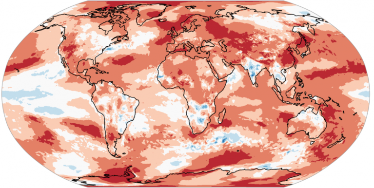
In 2025, the warmth was clearly assisted by what is often referred to as a marine heatwave around the British Isles, with exceptionally high sea surface temperatures. Britain’s weather tends to be substantially moderated by the surrounding seas, and so when we get persistent warm sea surface temperatures around Britain, it warms the air masses that reach our shores. A stark illustrative example was the predominantly cloudy weather that many of us had between around 16 and 22 August, when temperatures were typically two or three degrees higher than we would typically expect in that type of setup. Generally this summer was particularly notable for its absence of substantially below-average temperatures, even when we had synoptic pressure patterns that would normally favour cool summer temperatures.
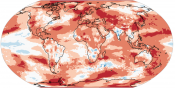
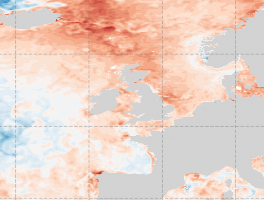 Sea surface temperature anomaly map from OSTIA
Unless this marine heatwave subsides by the winter months, it may be tough to get much in the way of snow events during the winter of 2025/26 even with favourable synoptic weather patterns, as a prolonged marine heatwave will mean extra modification of cold air masses from the north and east.
Averaged globally, while temperatures have remained exceptionally warm, it has not been a record breaker. Global temperatures recently dropped a little from the record highs of 2023 and 2024. During July and August, according to the Climate Reanalyzer which is based on the ECMWF’s ERA5 reanalysis, global temperatures were generally third warmest on record during those months, and occasionally slipped to fourth or fifth warmest. This does not indicate a reversal or slowdown of the global warming trend, but rather infers that the warming effects of the 2023/24 El Nino event (global temperatures tend to be higher during El Nino events) may have faded.
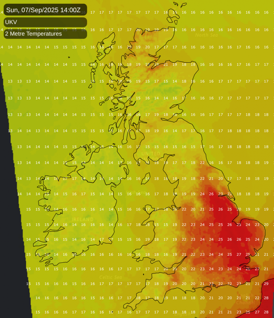
The next few days will be warm partly due to this marine heatwave and partly due to southerly winds. Temperatures are forecast to hit the high 20s Celsius on Sunday, particularly in the east of England. Into next week, it looks probable that low pressure will return to dominating the weather, with bands of rain moving from west to east at times, interspersed with brighter, showery weather, and potentially strong winds at times. But while temperatures will trend downwards again after this weekend, they will tend to remain above the 1991-2020 long-term average, especially in eastern parts of the country.
While the summer of 2025 was not generally exceptionally dry, most regions of the UK had a substantially drier than average summer, and this followed a considerably drier than average spring as well. The sustained rainfall deficit has resulted in dry surface conditions and susceptibility to wildfires. The current wet and unsettled spell is helping to alleviate that to some extent, but a relatively prolonged period of near or above average rainfall will be needed to bring water table levels and soil moisture back to near normal. If we get a wet September but it then becomes dry again between October and December, we may still see anomalously dry surface conditions come the end of the year.
A drier and more settled spell is being hinted at during the third week (15th-21st) of September by many of the forecast models, with high pressure building from the south, although there is a chance that it could just be temporary.
Loading recent activity...