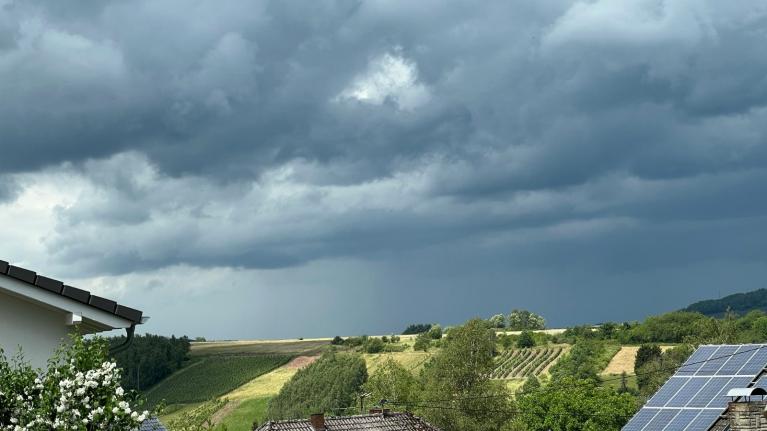
The first half of this week will bring heavy showers and thunderstorms. These fade during Thursday and Friday with warmth for England to end the working week.
Later this week, there should be a lull with fewer showers and more settled weather for Thursday and Friday. High pressure will nose in briefly, disrupting the westerly flow from the Atlantic. Showers over England will take their time to fade during Thursday in a light northerly flow, before sunshine and warmth for the southern half of England on Friday.
By the weekend, the high pressure will be to the south/southwest of the UK with mixed, showery weather moving over northern parts. This return to a more unsettled theme looks to gather pace through Sunday into the start of next week.
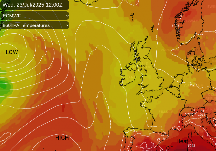
For the previous heatwave setups, there was high pressure over the UK, keeping the same air in place. Clear blue skies allowed strong sunshine to heat the ground. It was dry, sometimes with a very warm southerly flow from Spain, and this allowed the temperatures to soar.
Over the next week, we have more cloud with outbreaks of rain, interrupting any sunshine. The flow is often from the west and rather mobile, so our air is changing. Temperatures on Friday, or maybe Saturday, could reach 28 to 30C for London or inland parts of the Home Counties.
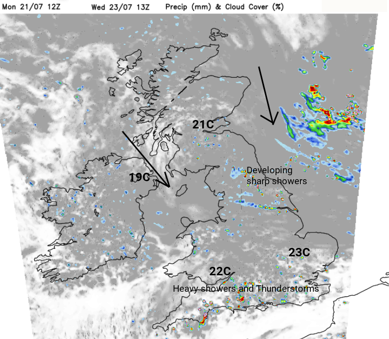
By the middle of this week, there will be a northwesterly flow, making the air feel a bit fresher. There will be a rash of heavy showers and the risk of thunderstorms over the southern counties of England on Wednesday. Also, heavy showers will develop for northeast and eastern England, making their way to the Pennines and Lincolnshire during the afternoon.
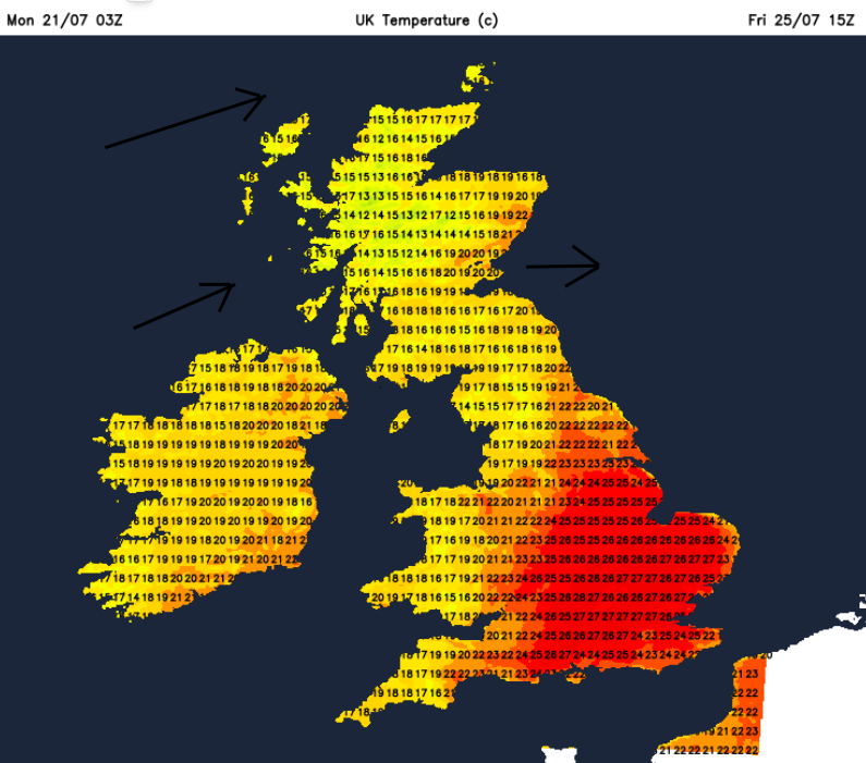
The showers will take their time to fade from England into Wednesday night, with some lingering over eastern England by Thursday morning. There will be a new frontal system looming out in the Atlantic, but this nose of high pressure should begin to quieten the UK weather. England will see a fair amount of cloud with showery outbreaks of rain but it will all be sinking southeastwards in the very light northerly flow. East Anglia might see a thundery outbreak and all the cloud over southeast England will subdue the temperatures. To the north and west, there will be more sunshine and temperatures will rise, 19 to 25C for the western half of the UK.
During Thursday night, the frontal bands will bring more cloud and light rain to western Scotland and Northern Ireland as the wind backs to a southwesterly.
Friday
The front will fade with just more cloud over Scotland, moving across Wales and southwest England. Most areas will be dry as the day becomes brighter with sunny spells. England will become warm with temperatures of 20 to 28C as northern areas turn more breezy.
Saturday looks like a fine day for most, although still with the chance of blustery showers in the far northwest of Scotland.
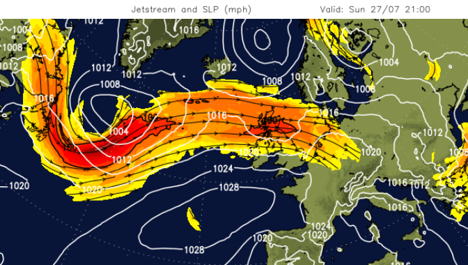
By Sunday, high pressure looks anchored away to the southwest of the UK, the Azores High in its rightful place. This will allow showery rain to approach from the Atlantic, more often over the northern half of the UK.
Loading recent activity...