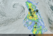
Friday saw a top temperature of 34.7C recorded at Astwood Bank, near Redditch in Worcestershire, beating the previous date record for 11th July of 34.4C recorded in 1921 at Halstead (Essex) and Woking (Surrey).
We could see similar temperatures again across the SW Midlands and down into SW England – with temperatures reaching 33-34C here. More of a breeze towards the east of England – with early cloud eventually burning back, but will mean temperatures not so high here as further west. We could see temperatures reach 30-31C in London, Liverpool and Manchester, 33C in Worcester and Gloucester. We may even see close to or reaching 30C in Scotland – more particularly in the north and west.
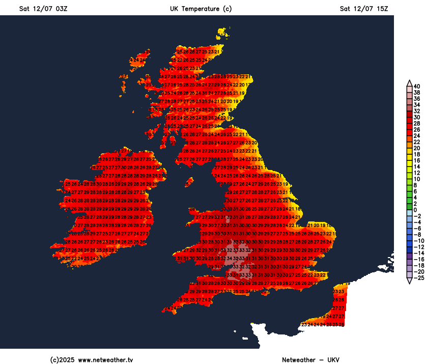
Temperatures will ease off tomorrow, though, but temperatures still reaching the high 20s Celsius across southern, central and western areas, perhaps 30C across the lower Severn Valley. Eastern areas of England and Scotland may be plagued by low cloud off the North Sea, while there will be more in the way of high cloud spilling west elsewhere, perhaps a few showers breaking out too across northern England while cloud and some thundery showers may arrive in the far southwest later in the day. But most staying dry, very warm or hot and feeling humid.
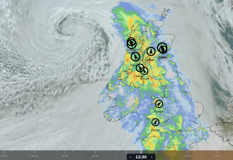
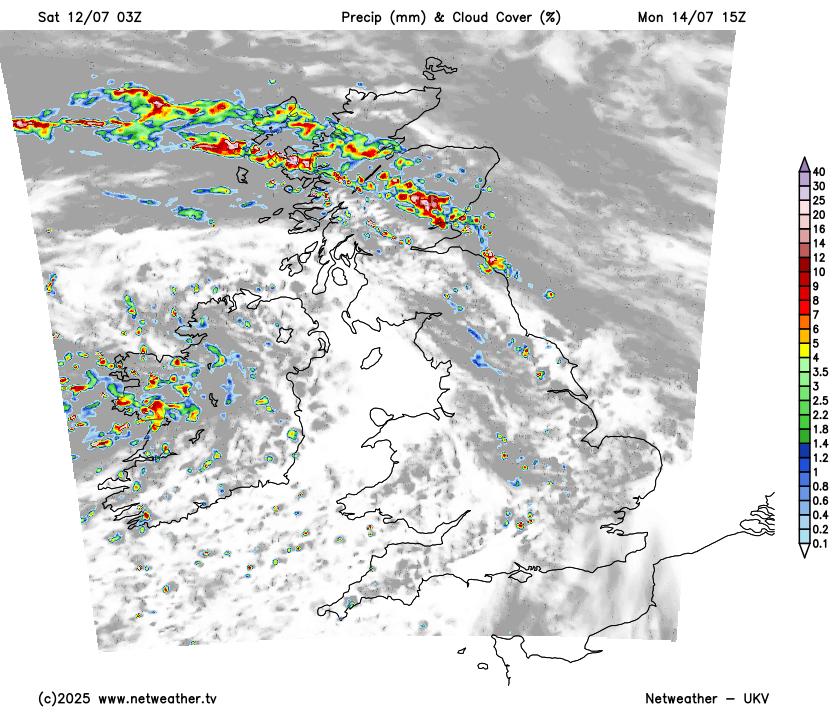
Temperatures will continue to come down early next week, as the heat is gradually pushed away eastwards by low pressure moving in to the west of Ireland and a cold front moving east on Monday, which will bring a band of thundery downpours north and east across the north during the day, the front weakens as it arrives further south, but some showers following. The heat just about hanging on across SE England and East Anglia – where we could see the high 20s reached before the weakening cold front pushes through.
Monday will likely see a band of thundery rain develop and move north and east along cold front across northern areas
The cold front introducing cooler and fresher condtions from the west
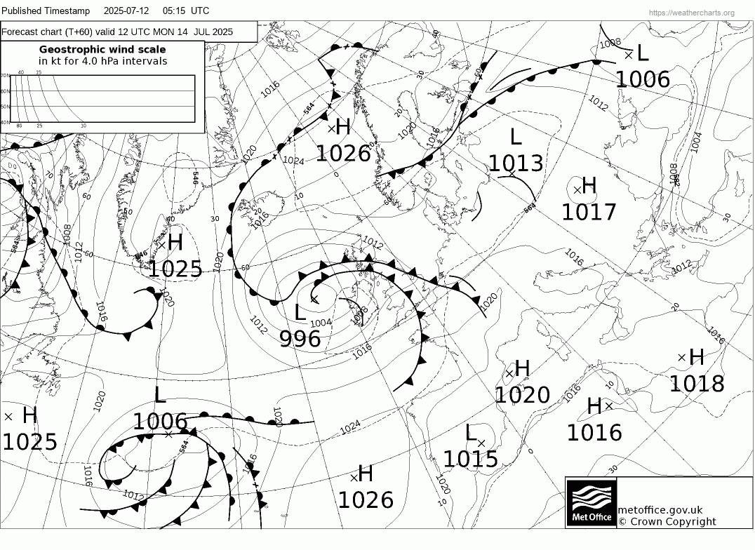
Tuesday will continue the downwards trend in temperatures, feeling cooler, cloudier and fresher for all in a southwesterly breeze. A low pressure system moving east looks to bring showery rain east across central and northern areas of the UK, drier in the far south before perhaps more organised rain moves in from the west here later in the evening and overnight. Temperatures below average for many, reaching the high teens at best, maybe 20C with some brightness, after temperatures have been up to 10C above the average maximum over the last few days.
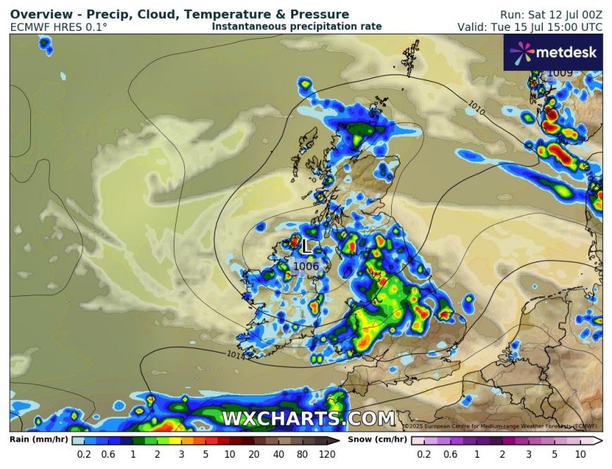
Uncertainty increases from mid-week. Low pressure moving east over central areas on Tuesday will clear east by then, but with the jet stream running across southern Britain, we may see a frontal system moving in across southern areas on Wednesday, bringing some much needed rain here. Though there is some uncertainty how far north or south this waving frontal zone will end up and thus how far north or south the rain will be.
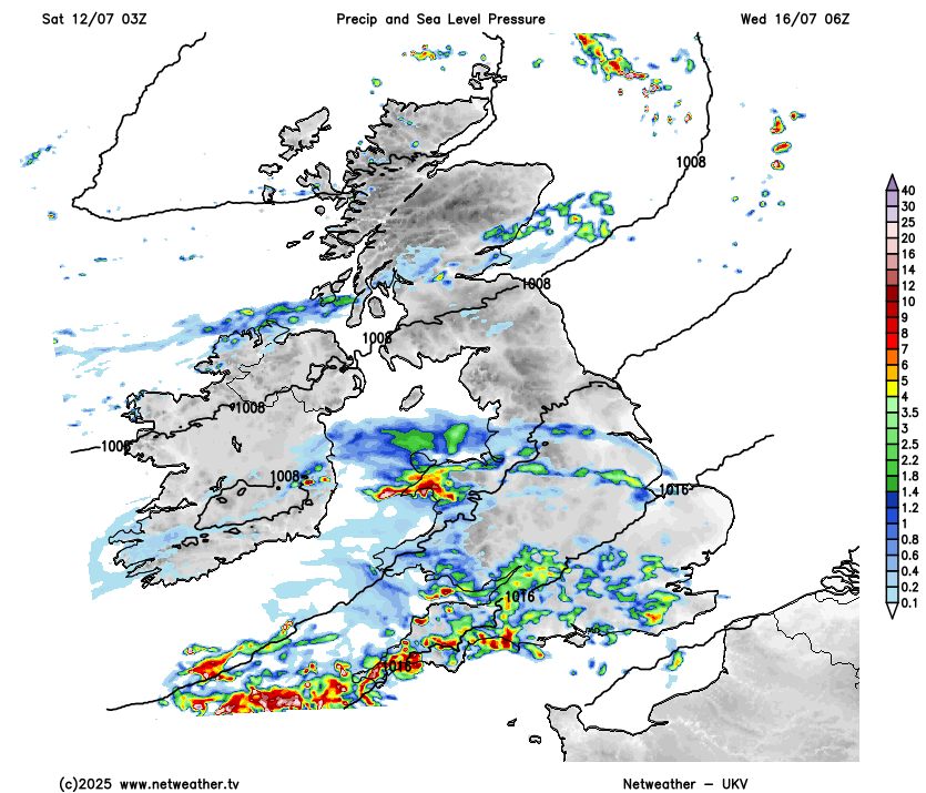
Most models and their ensembles then seem to indicate that jet stream will buckle north on Thursday, allowing high pressure to temporarily rebuild in from the south, bringing a drier day on Thursday and a rise in temperatures.
Brief ridge of high pressure building in on Thursday
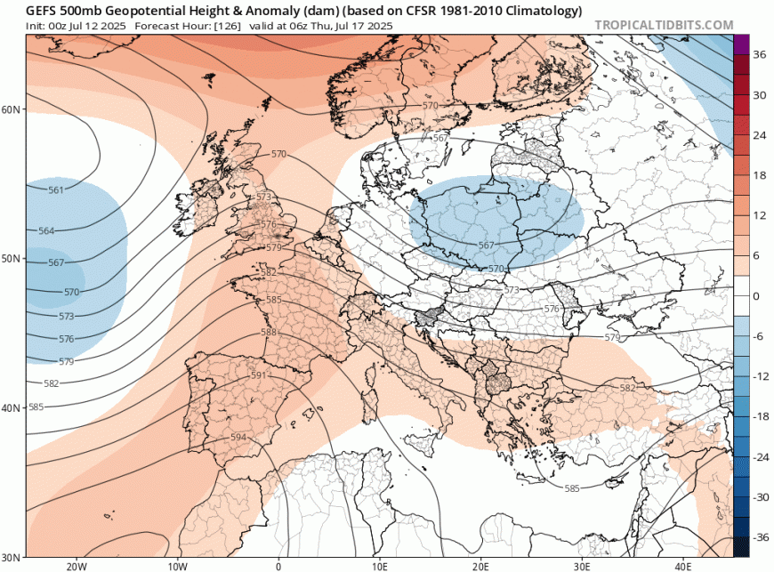
However, an upper trough then looks to move into the west on Friday, perhaps with low pressure developing to the southwest, so turning unsettled again, with showers developing from the west, perhaps thundery on Friday and over the weekend.
Loading recent activity...