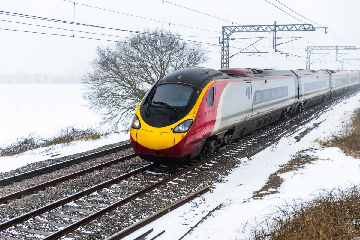
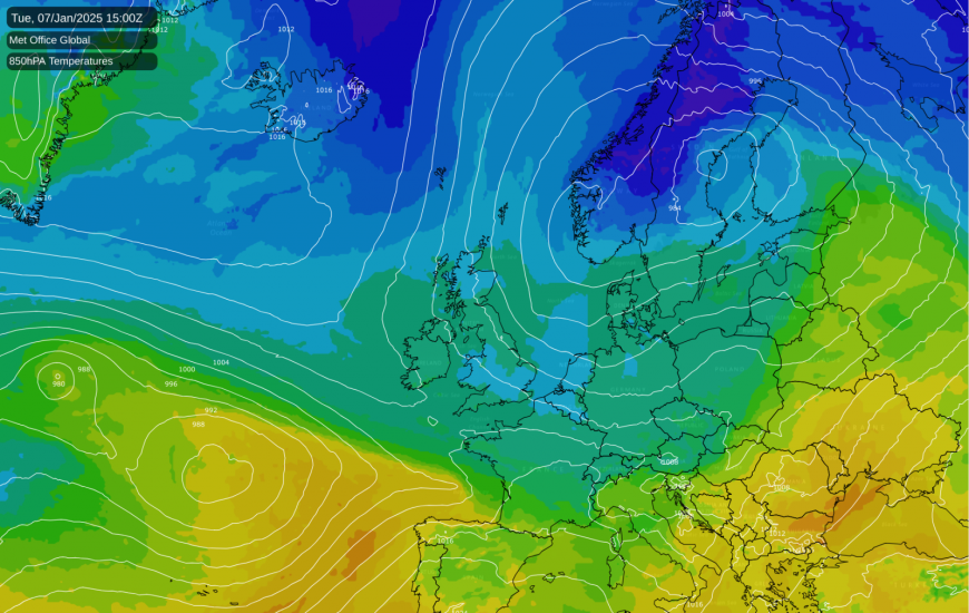
After a generally mild December, January 2025 has started on the cold and bright side for most of us, as a northerly blast arrived in the north on the 1st and spread through the whole country on the 2nd.
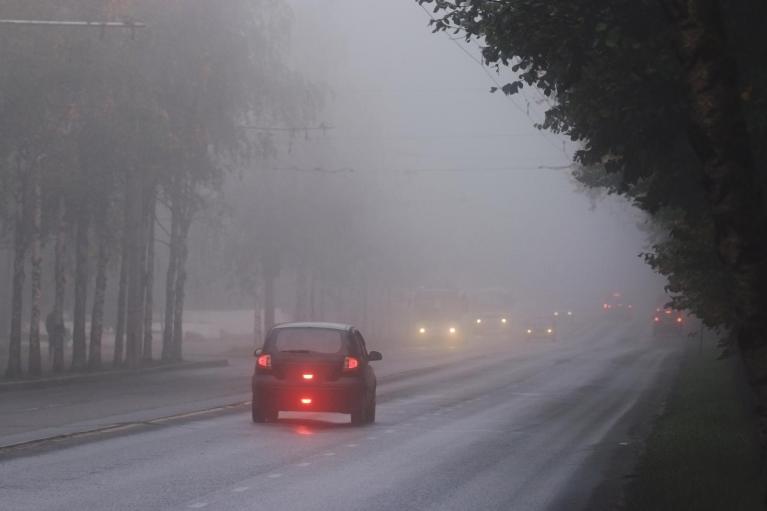
Many areas have not yet seen any snow. This is set to change this weekend, as a potent frontal system moves north-eastwards across the country, but over much of England and Wales the snow will only be short lived, as milder air will quickly push in from the south. In central and southern parts of England and Wales, most of the snow is forecast to fall before dawn, and there may be significant accumulations on the ground for a time away from the English Channel coast, particularly on high ground and in the English Midlands and east Wales, but a thaw will swiftly follow. There is potential for exacerbation of flooding in areas that have recently seen heavy rain, especially north-west England.
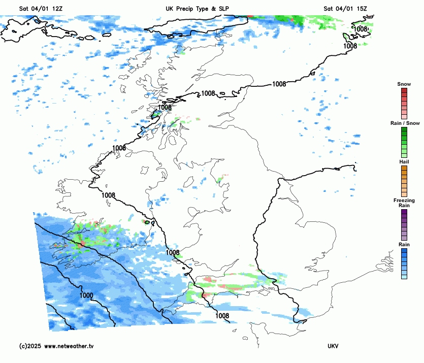
Potential for lasting snow is highest in southern Scotland and northern England, and also parts of the Republic of Ireland, where the frontal system will penetrate from the south but the milder air will not push in from the south. Some areas could see around 50mm of precipitation from the system, which means potential for flooding and for substantial snow cover on higher ground. North Sea coastal areas will probably see just sleet and rain due to an easterly wind blowing in off the comparatively warm sea. The current Met Office amber warning for snow covers most of east Wales and the Midlands and north of England, but excludes North Sea coastal areas.
Following this system, the cold air will move back down from the north to cover the whole country. Through Tuesday and Wednesday, the winds will be mainly north-westerly, bringing wintry showers into northern Scotland and into western areas, with potential for wintry showers to head through the Cheshire Gap to affect parts of the Midlands and central southern England.
A frontal system is forecast to move across the English Channel on Wednesday/Thursday. This is worth keeping an eye on, as it has potential to bring snow to southern England, but it could end up missing the south of England and staying out in the English Channel. Winds are forecast to veer northerly on Thursday, transferring the majority of the wintry showers to eastern areas. In the showery spells, showers will probably fall mainly as rain, sleet and hail near windward coasts and on lower ground in south-west England, but as snow inland and on high ground in the south-west.
Cold weather is expected to persist well into January, because following the northerly on Thursday, an area of high pressure is forecast to build over the British Isles. This will maintain a cold air mass and cold sunny weather by day and sharp night frosts, potentially dropping well below -10C in the valleys of the Scottish Highlands, where there will generally be snow cover following frequent snow showers in northern Scotland in the first week. Less cold weather and a return of anticyclonic gloom is looking a significant possibility towards mid-January, but this is a long way off.
The first half of January 2025 has potential to be the coldest first half of January for some time. January 2021 was a generally cold month, but for the most part temperatures were not far below the long-term normal and it was the persistence of cold temperatures rather than the intensity that resulted in a cold month overall. There was snow for some in the first week of January 2021, especially on the 2nd, but it generally turned less cold with rain and sleet showers for eastern areas between the 3rd and 5th.
If the first half of January 2025 turns out colder than the first half of January 2021, then it will most likely end up as the coldest first half of January since 2010. In 2010, most of the country had lying snow following a combination of snow showers and a frontal system which brought spells of persistent snow for most on the 5th and 6th. Many areas had lying snow throughout the first fortnight of the month. I do not consider the upcoming cold weather as likely to match the first half of January 2010.
Other January cold spells in recent years have not encompassed the first half of January. 2013 was the most notable instance, when we had a long spell of mainly easterly winds and 12 or 13 consecutive days of lying snow over much of eastern England, but the first week of January 2013 was very mild, and the cold and snow was concentrated during the period 13-25 January. More recently, January 2019 ended cold, with a snow event for southern and central England on the 31st, January 2023 had a cold spell in the third week, and January 2024 was cold in the second week, but in each case January started off relatively mild.
Loading recent activity...