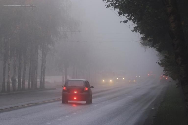
Interest has been building this week over potential ex-hurricane Kirk arriving over our UK shores during the middle of next week.
Kirk remains a major category 4 hurricane. Kirk is moving northwestward at 11 kt, with a turn to the north
expected today, as Kirk reaches the western periphery of high pressure system over the sub-tropical Atlantic, this then followed by a much faster northeastward and east-northeastward motion from Sunday and through early next week when Kirk joins the strong mid-latitude westerly flow over the North Atlantic. Kirk will undergo extratropical transition early next week, this is likely to begin on Monday and be complete by Tuesday, with Kirk becoming a strong extratropical cyclone over the northeastern Atlantic, as it turns northeast and speeds up over cooler waters north of the Azores.

Computer models still diverge between each other over where the ex-tropical cyclone will track as it reaches western Europe by Wednesday, as is to be expected at this range with such systems, but the high resolution / operational runs have come closer together towards a track close to southern England or further south over France for now. 00z GEFS and EPS (ensemble) tracks do suggest a close brush with SE England as it tracks northeast over western Europe mid-week.


The Met Office have provided some 'Key Messages' for ex-Hurricane Kirk below:
 Source: Met Office
Ex-hurricanes are no stranger to visiting our shores in autumn. However, by definition, a hurricane cannot sustain itself to reach the UK. Hurricanes are tropical storm systems, characterised most notably by sustained strong winds exceeding 75 mph and spirals of organised thunderstorms. They require a few key ingredients to form, with one of the most important being sea surface temperatures above 26.5C. The waters surrounding the British Isles tend to average in the mid-to-high teens (Celsius) in the summer months, so cannot help develop or sustain a tropical system.
However, strong mid-latitude storms that affect the UK can produce hurricane strength winds, such as the Great Storm of October 1987. While also deep depressions which are the remnants of hurricanes, after they have undergone extratropical transition, can affect the UK too.
For the purpose of naming storms, the Met Office state that they keep the name of ex-tropical storms or hurricanes which affect the UK, though if reaches the criteria for naming a storm due to impacts, it is named Storm Ophelia (for example) rather than ex-hurricane Ophelia
To avoid any confusion over naming, if the remnants of a tropical storm or hurricane that has moved across the Atlantic, the name would not be changed and would follow the established method of being referred to as 'ex-hurricane Ophelia' for example.
If, however it reaches the criteria for naming a storm in the UK due to the possible impacts, the name would not change but it would be known as ‘Storm Ophelia’ for example.
We will only use names that have been officially designated by the National Weather Service in the US.
Below are some of the more notable deep lows that were previously hurricanes that have brought disruption to parts of the UK in the past.
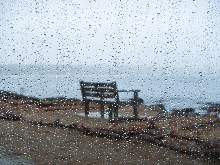
On 16 October Ex-Hurricane Ophelia brought very strong winds to the west of the UK and Ireland. This date fell on the exact 30th anniversary of the Great Storm of 1987. The strongest winds were around Irish Sea coasts, particularly west Wales, with gusts of 70 to 80 mph or higher in exposed coastal locations, with a gust of 80mph at Capel Curig. The most severe impacts were across the Republic of Ireland, where three people died from falling trees, which were still mostly in full leaf. There was also significant disruption across western parts of the UK, with power cuts affecting thousands of homes and businesses in Wales and Northern Ireland.

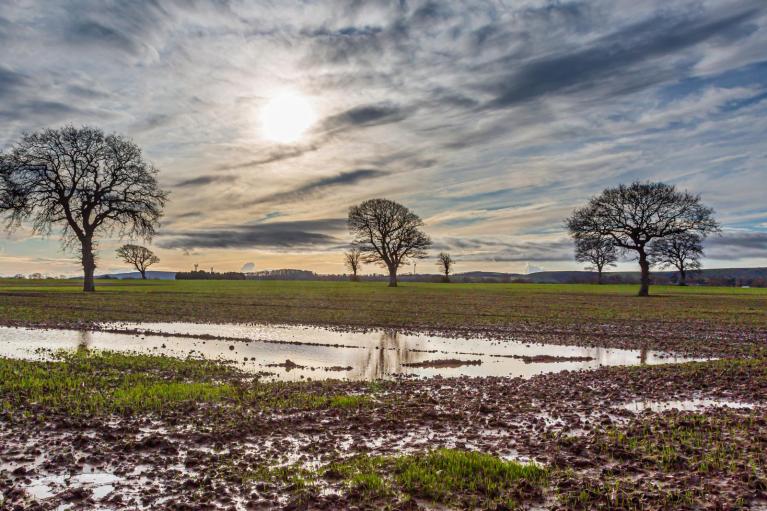
The UK experienced some unseasonably windy and very wet weather from the remnants of ex-hurricane Bertha. The low remained close to the northeast of Britain for several days, with some locations in north-east Scotland receiving double the August long-term average rainfall, resulting in significant flooding problems. Parts of eastern England were also affected by this storm.
Hurricane Katia become a category 4 storm on the 5th September 2011 over the western Atlantic. Katia then tracked northeast over the North Atlantic, transitioning into a powerful extra-tropical cyclone which skirted the far northwest of Scotland on 12th September. The storm brought widespread gusts between 50-70 mph over western/northern Britain and Ireland. The strongest gust of 98 mph was recorded on top of Cairn Gorm while the highest low level gust was 82 mph at Capel Curig, Wales. The storm caused disruption to rail services and forced a stage of the Tour of Britain cycle race to be closed. Thousands were without power on Monday night. In County Durham, a tree hit a car, killing its driver.

Gordon formed over the mid-tropical North Atlantic and became a major cat. 3 hurricane before moving northeast close to the Azores, where it caused significant damage on the islands. It then passed northeast a few 100 miles off Iberia, bringing a 114mph gust in Galicia, with widespread damage and powercuts in this area of NW Spain. A small but intense depression, the remains of hurricane 'Gordon',then brought heavy rain and strong winds to western parts of the UK between the 21st and 22nd of September 2006.

Lili formed from a tropical depression which developed on Oct. 15th 1996 over the western Caribbean Sea. It crawled slowly northward over the next couple of days, becoming more organized. By the 17th, it reached hurricane strength and turned to the northeast picking up forward speed maintaining hurricane strength up to Category-2 status. But from there it began to weaken and became extratropical. The system tracked over the British Isles on 28th Oct 1996 - where it was considered to be the strongest storm to affect the islands since 1961. It produced wind gusts up to 92mph in Wales. Waves of 40 ft (12 m) dislodged an oil platform in the North Sea, and a 4 ft (1.2m) storm surge moved up the Thames River.
Loading recent activity...