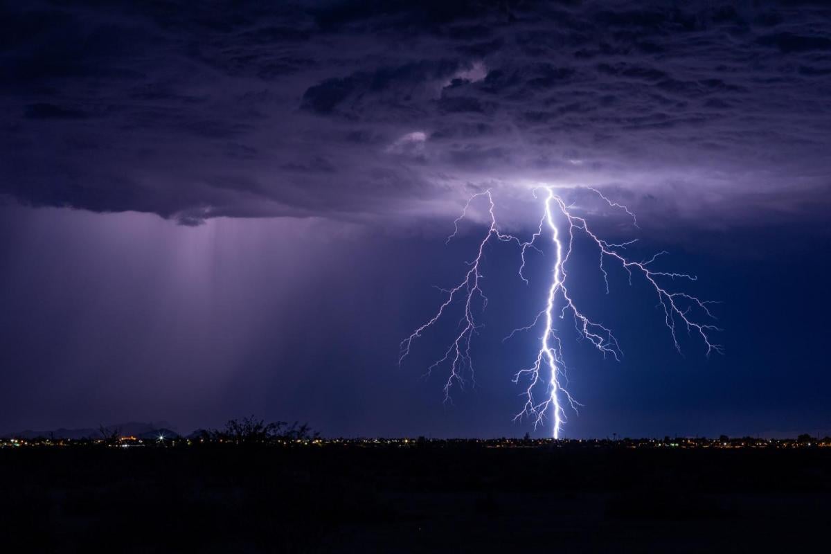
Southern Britain will see scattered heavy showers and the risk of thunderstorms on Friday and at the weekend. This is a change from the settled midweek weather under an area of high pressure. Northern Britain and Northern Ireland keep quieter weather with drier, sunnier weather in the west but plenty of low cloud off the North Sea.
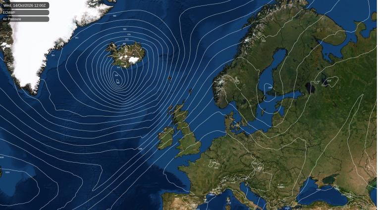
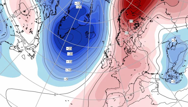
The technical analysis of the synoptic and airmass changes explains the shift to an unstable setup for southern Britain. Southeast England and Gatwick Airport saw an early thunderstorm cell pass by with heavy rain, hail and frequent lightning on Friday morning. As the warmth of the day increases, with temperatures reaching 20 to 24C, clusters of showers and storms will develop in the next few days in the south.
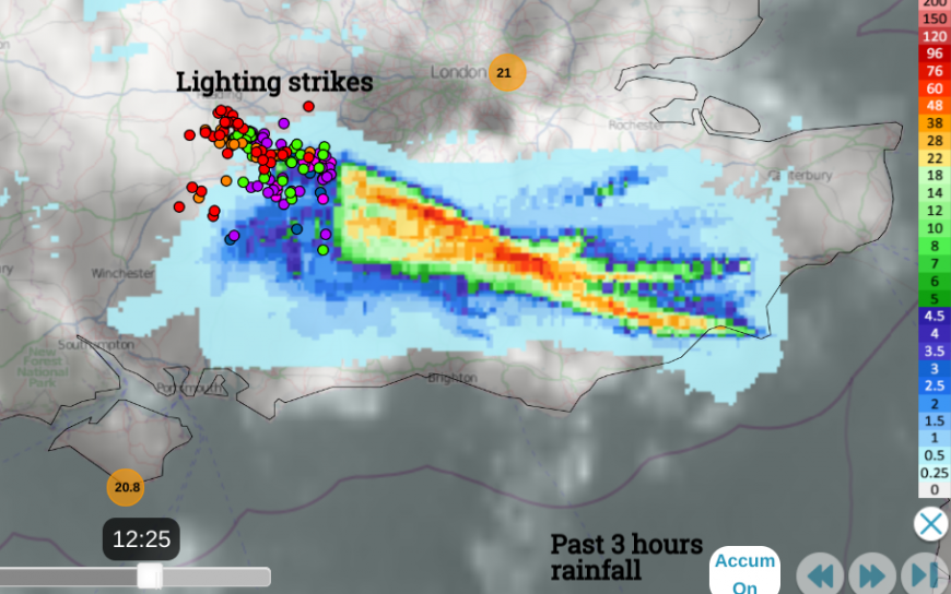 Netweather radar showing 3 hours rainfall (drift westwards of cell) and lightning strikes from 12:25 in past half an hour
Northeastern Britain looks cooler with a breeze off the sea and early haar or seafret, lifting to a cover of grey, low cloud but keeping dampness in the air. The west coast of Scotland and much of Northern Ireland will fare well this weekend with temperatures in the high teens and fine September sunshine.
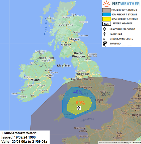
“Heavy showers and thunderstorms…develop west of London across central S England over to the West Country, south Midlands and Wales through the day, as surface heating and large scale ascent of air with the passing shortwave trough supports the growth of cumulonimbus clouds. Showers and storms that develop will drift west. “ Convective forecast
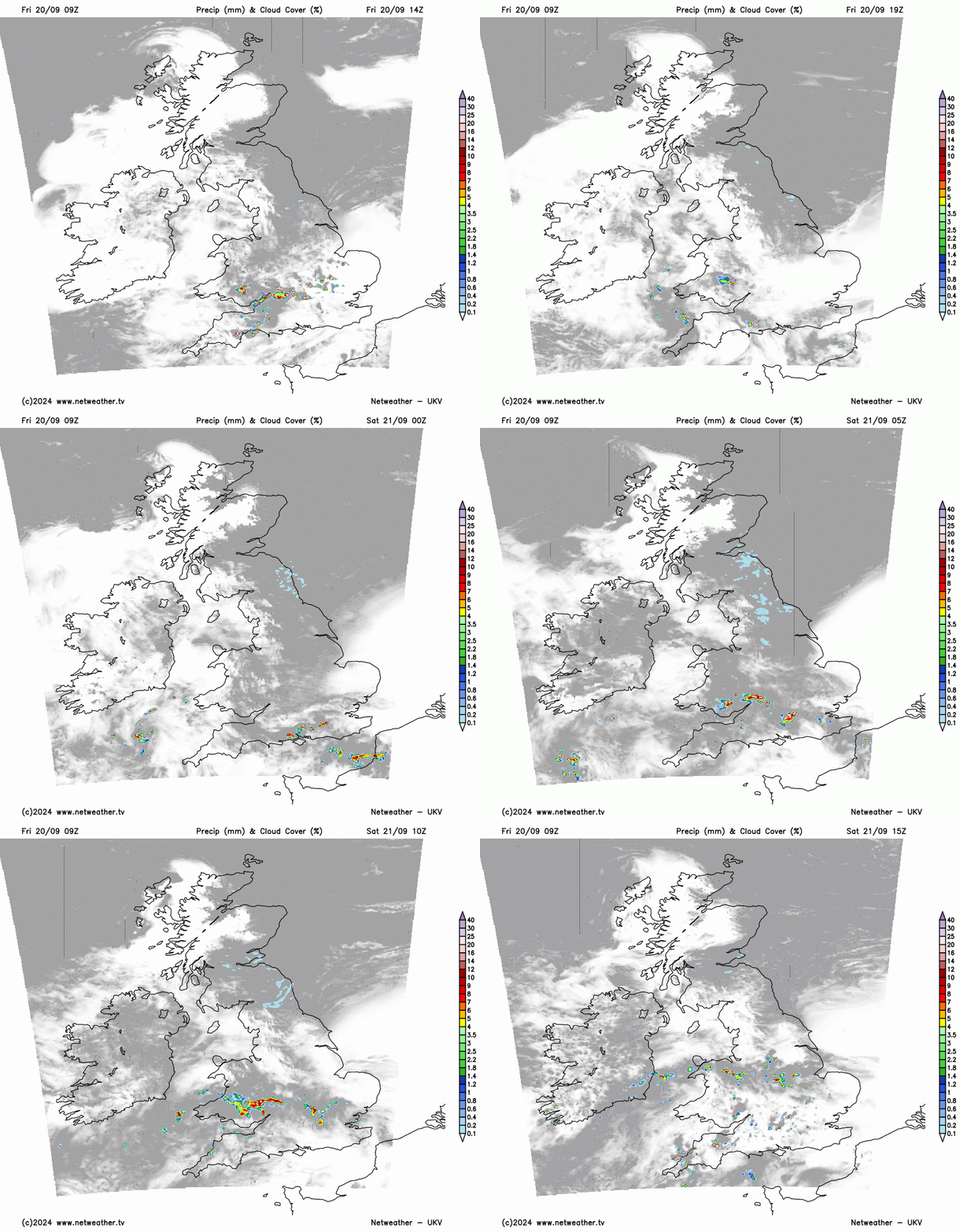
The Met Office does have yellow weather warnings for Thunderstorms, focused over the SW quarter of the UK. This marks a region where impacts from thunderstorms are deemed more likely. It doesn’t mean that everyone inside the area will see a thunderstorm, or even rain due to the nature of showers. Some places will see heavy rain, hail, gusty winds and lightning as others miss them altogether. The Sunday warning is for more widespread rain, but again with the risk of flooding and disruption.
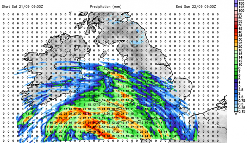
The weekend
During Friday night, showers will move across the English Channel from France where there are also thunderstorm warnings for the end of the week (Meteo France).
“Overnight, a shortwave trough moving north out of France could bring heavy showers and some isolated to scattered thunderstorms north across southern England in the early hours of Saturday morning.”
There will be well-scattered showers drifting westwards on Saturday morning over southern England and the southern half of Wales. Thunderstorms and intense downpours will develop into the afternoon with more of Wales and SW England at risk. Again there will be a lot of fair, bright and dry weather in between but the focus of the heavy showers edges towards SW Britain later in the day.
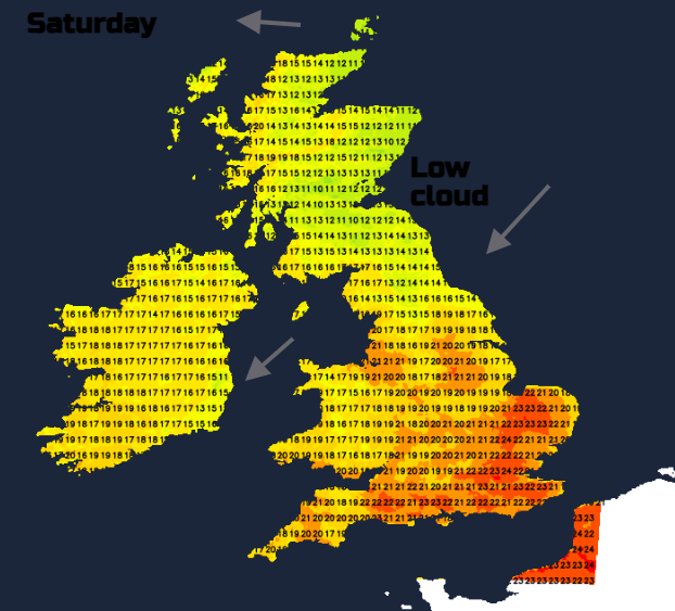
During Saturday night the shower activity peps up with more cloud and showery outbreaks spreading over SW England and then up from the Channel into southern England and Wales. Further north, it will be quieter and cooler.
Loading recent activity...