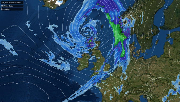
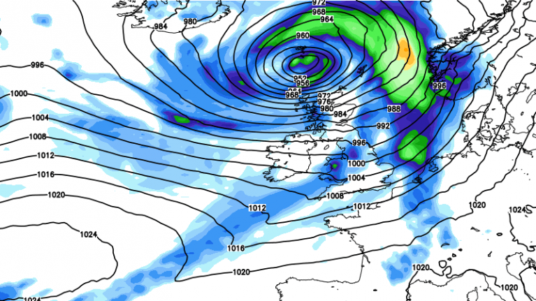
A more mixed forecast with low pressure over the UK. There will be warm sunshine but frontal rain and showers interrupt the fair May weather.
Low pressure is back over the UK after the fine, sunny and warm weather at the end of last week. We’ve moved from steady conditions under High pressure to a more mixed picture for the middle of the week. SW England and Wales will see a scattering of showers today with a brisk southeasterly wind and it will feel a bit cooler. A light breeze off the North Sea will continue to bring a freshness to the air to eastern Britain.
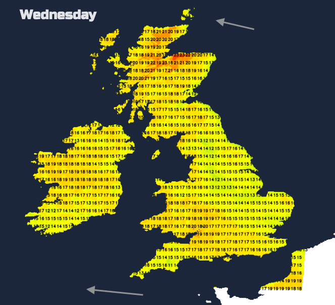
In any sheltered sunshine this week temperatures respond and soon rise into the high teens. However, there will be more of a breeze with bands of cloud and pulses of showery rain at times. These focus from The Wash across to Northern Ireland for Wednesday into Thursday but with clearer skies and sunshine to the north and south. The highest temperatures will be near Inverness or Aviemore, in northern Scotland, potentially reaching the mid-20s Celsius on Wednesday with lighter winds everywhere.
For the rest of this week, parts of the UK will see very little rain and a good deal of fair, bright or sunny weather. Other parts will see more cloud and outbreaks of rain so here, the week will be much more unsettled. It’s a messy picture but there aren’t signs of any severe weather.
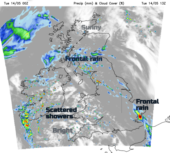
Temperatures today will widely be between 14 and 18C. Northern Scotland will see sunshine ahead of the frontal band. The rain will become more showery by lunchtime and patchy. The UKV model has picked out heavier pulses for Kent and Essex after lunch and sharp downpours for Cumbria and SW Scotland from mid-afternoon onwards. These could bring difficult conditions on the roads and the risk of localised flooding. Keep an eye on the radar this afternoon.
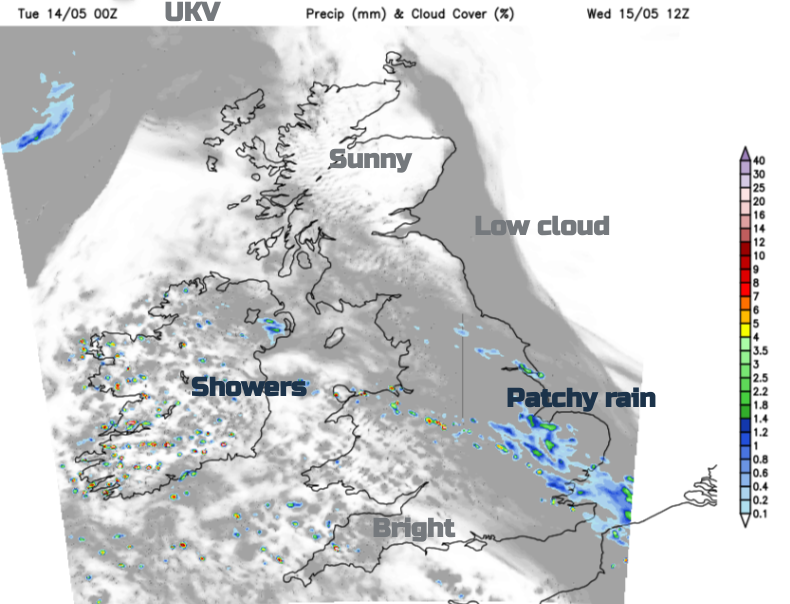
The remnants of the frontal band will bring patchy rain to northeast England and central & southern Scotland. It will be another mild night and outbreaks of rain will pulse into East Anglia across to the Midlands and up towards the Humber by dawn.
This feed of rain and cloud will continue into the afternoon reaching from Suffolk across to Merseyside. There will also be a few showers for north Wales, Staffordshire and Northern Ireland but otherwise, a fair day.
The east coast haar should disappear for Scotland and the seafret from NE England but more cloud will appear for SE England as the band of showery rain and cloud settles across a central swathe of the UK. There will only be a hint of an easterly flow in the air but a cooler night for areas with clearer skies.
There will be some early morning fog and sunshine with a fresh feel for the start of Thursday. It will be another mixed day with dull skies and outbreaks of rain under the frontal band. Sunshine for some making it feel warm but with heavy showers developing to keep us on our toes.
Loading recent activity...


.jpg?w=1200)