The recent cold and sunny spell has come to an end today, although, in many parts of the country, its demise started yesterday, as cloudier and less cold weather advanced from the west ahead of today's frontal systems.
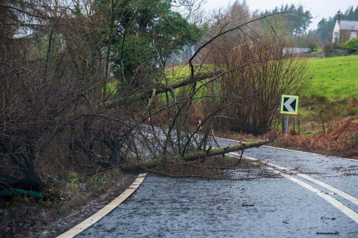
It looks set to be mild and wet during the coming week, and we are keeping an eye on the likelihood of damaging winds in many parts of the country on Sunday, associated with a named depression, Storm Isha. The Met Office has an amber weather warning for wind for Sunday and Monday, covering all of Scotland, Northern Ireland and northern England, together with west Wales, north Devon north, west Cornwall and southeast coastal counties. Other areas of the UK are covered by a yellow warning. There is also potential for damaging winds from another low-pressure system moving to the north of Scotland overnight Tuesday/Wednesday.
Towards next weekend, the weather is set to quieten down with high pressure moving into south-eastern Britain, promising drier and less windy weather. Long-range forecast models have long been suggesting a cold February with blocking anticyclones to the north-west of the UK, bringing winds from the north and north-east, but the chances of this happening appear to be receding, with the ECMWF 42-day forecast model suggesting a chance of February being mostly dry and anticyclonic with the high pressure struggling to get north of about 55 degrees north.
Sunday will start relatively quiet, with generally dry sunny weather and light to moderate winds, but wet and windy weather will push into most western areas by midday, especially in Northern Ireland, and this will spread to other parts of the country during the afternoon and evening. South-east England and East Anglia may stay dry for most of the day, but it will turn wet in these regions by late evening.
In the evening, the main story will be the strong winds, with sustained wind speeds of 40 to 50mph in many regions, and gusts widely of 60 to 70mph, and potentially up to 100mph gusts in some exposed parts, particularly in north-west Wales and also north-west England. In the early hours of Monday (most likely between midnight and 3am), gusts of 80 to 100mph are expected to become widespread in northern Scotland.
It will become mild except in northern Scotland on Sunday, with maximum temperatures mostly between 10 and 12C, although the far north of Scotland may get no warmer than 6 or 7C. This is often the case at this time of year, with depressions associated with very strong winds tending to pull warm air masses up from near the Azores.
Monday will see the winds slowly ease, and it will be a generally bright day with sunshine and some showers, with the majority of the showers in western parts of the country.
Tuesday morning will be relatively quiet, but there is potential for some more damaging winds on Tuesday night into Wednesday morning, with another system moving in from the west. There is some uncertainty over whether the winds will be as severe as in Sunday night's system, but it is highly likely that we will at least see further wet and windy weather. After Wednesday, the weather looks set to gradually quieten down, especially in southern and eastern Britain, with high-pressure building from the south by next weekend.
Loading recent activity...