2024 got off to a briefly quite benign start, but the next spell of wet and windy weather is already arriving from the southwest, and it's that which'll dominate our weather during the next couple of days. Once that's out of the way, low pressure will stay nearby, meaning we keep the blustery theme, with sunshine and showers the typical weather type as we move through the week, but there will also be the odd longer spell of rain - perhaps most especially in the south.
Looking further ahead, high pressure looks set to slowly become a bigger player later on next weekend and into the following week. It's not likely to be an instant switch, with showers likely to keep going for a while, especially in the east, but ultimately, a lot more settled weather is on the cards, with temperatures starting to fall too.

Before we can start looking in more depth at that, the frost risks and the potential for increasingly cold temperatures as we move toward mid-month and beyond, there's plenty of unsettled weather to be keeping an eye on. Met Office warnings for both wind and rain have been issued to cover the remainder of today (Monday 1st Jan) and tomorrow, and it's not hard to see why.
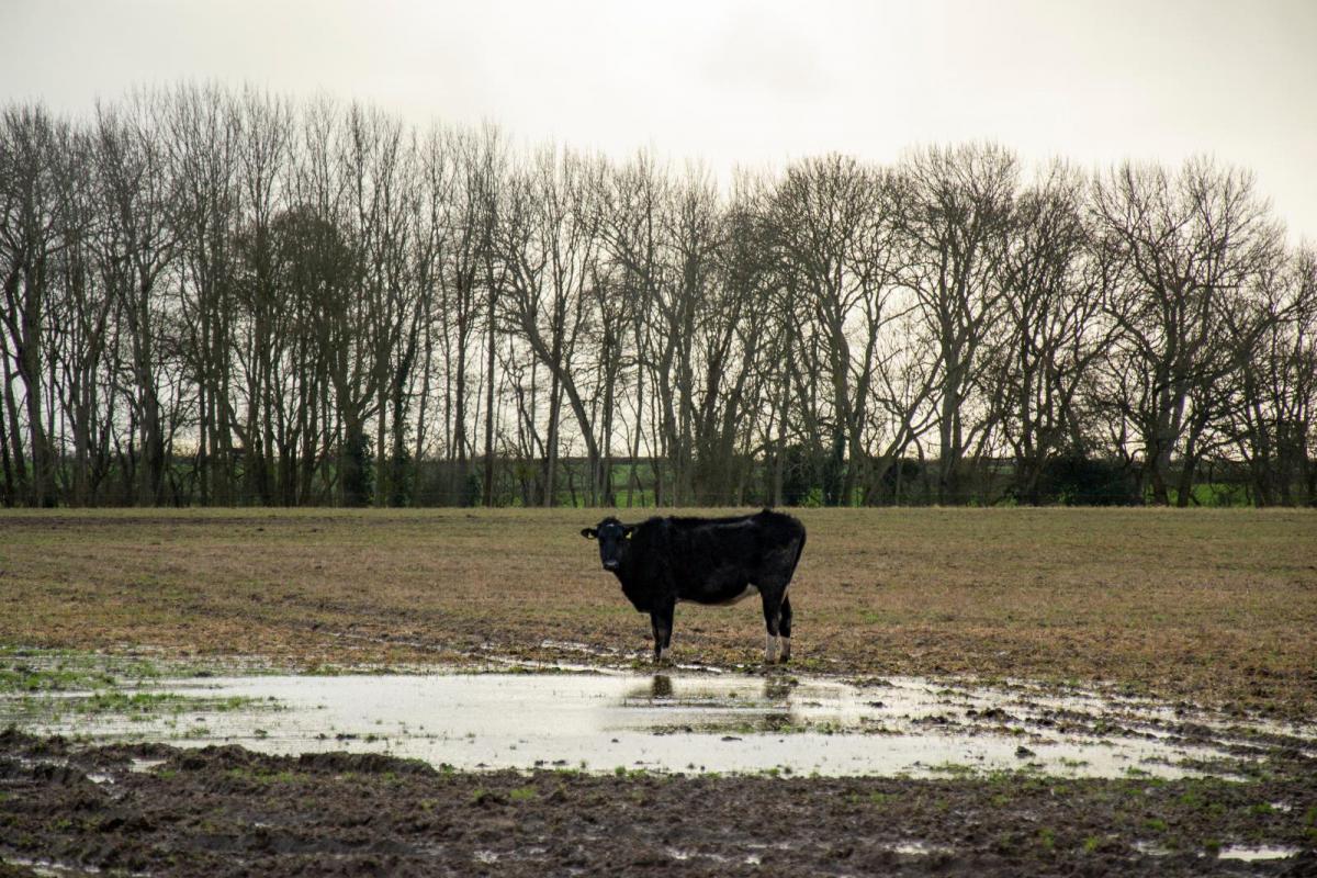
The rainfall totals maps for the next 48 hours paint quite a vivid picture, especially bearing in mind the already sodden ground after a very wet December.


The winds will pick up through today, with Tuesday bringing the peak of those. They'll be blustery everywhere, especially in the south of England and Wales and the far north and northeast of Scotland. Met Office warnings to cover the southern half of England and Wales have been issued for the wind into Tuesday.
We'll then stay blustery through the rest of the week, with some sharp showers around as well. There is the potential for a small area of low pressure to nip up from the south on Thursday and Friday, pepping up the winds and bringing some more persistent wet weather, but there's some uncertainty over that at this stage.
Wishing a very happy new year from the whole team here at Netweather.
Loading recent activity...