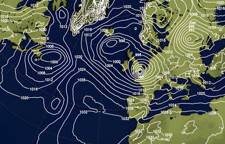
There has been heavy rain over much of the northern half of the UK during Friday night. The conveyor belt of persistent rain has barely moved with more to come today, causing impacts this weekend. For Saturday, it will be Scotland bearing the brunt of the heavy and persistent rain. There is a wide yellow warning for heavy rain and an Amber warning across more central areas for Saturday and Saturday night.
"Whilst much of Scotland will see a very wet period through Saturday and into early Sunday, the [Amber] area is likely to see the largest rainfall totals. Widely 80-100 mm of rain can be expected, with as much as 150-180 mm possible for the wettest spots" MO
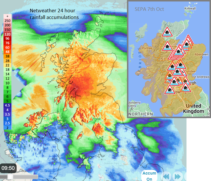
SEPA, the Scottish Environmental Protection Agency has issued several flood alerts and flood warnings. "Heavy and persistent rainfall from late Friday night and through Saturday is expected to lead to widespread flooding from rivers and surface water. Extensive property flooding and severe disruption to travel and infrastructure may occur in some areas on Saturday and Sunday."
Network Rail began warning people about travel disruption on Friday "Passengers urged to check their journeys and only travel if necessary as extreme rainfall hits Scotland tonight and tomorrow." "Major disruption is expected today (7 Oct)."
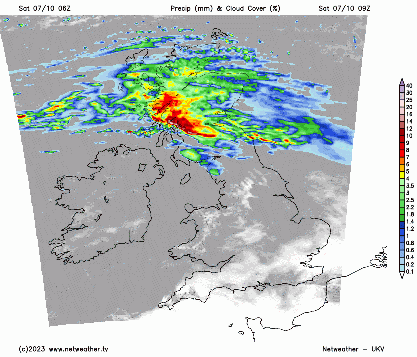
There is an airmass divide of cooler from the Arctic coming down the North Sea and the warmer air from western Europe feeding up from the south. The boundary, the front is across Scotland today with pulses of heavy rain feeding in from the Atlantic. There will be some easing this afternoon for many parts of Scotland, but not all. The rain band looks to reinvigorate overnight as it reaches the NW Highlands and Western Isles.
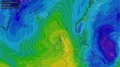
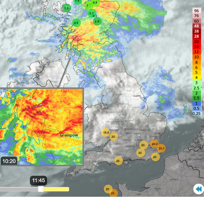
Keep an eye on the Netweather Radar to see how the rain edges north and where the heaviest downpours are today.
This leaves some drier weather by Sunday for the more populated Central Belt but there is some uncertainty about the position of the warm front, and other frontal rain, later in the weekend as the low centre nears on Sunday night.
Loading recent activity...