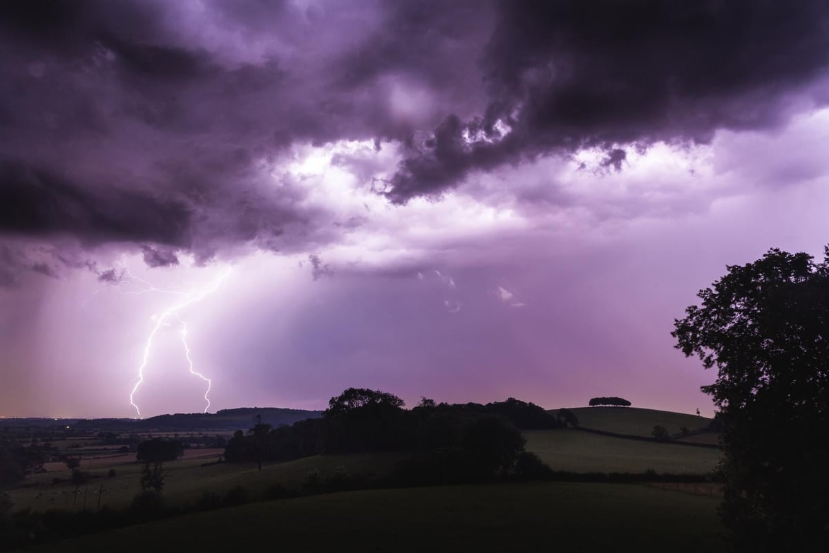
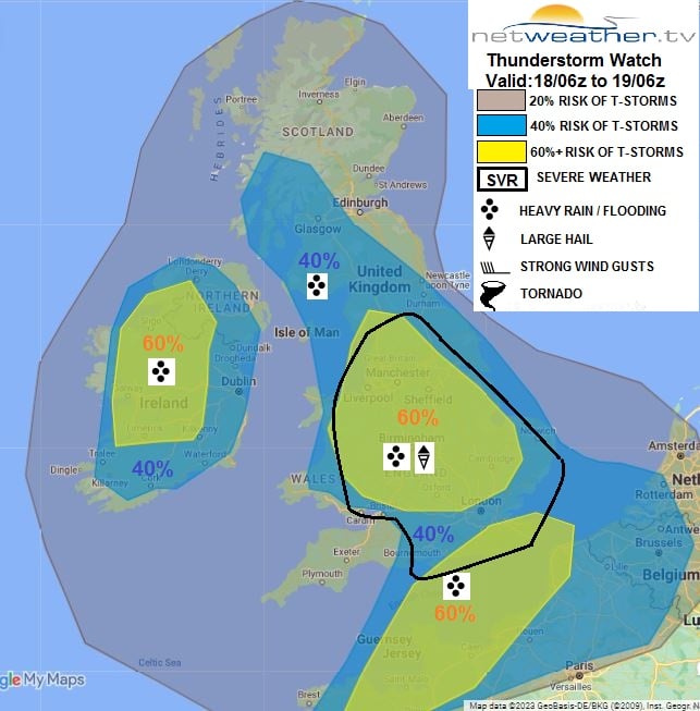
Parts of the East and South East have seen hardly any rain since mid-May, so today's forecast for some will come as a welcome change, with heavy showers and thunderstorms expected. We've already seen showers and a few storms overnight, with more developing through the day. These locally could produce more than 50mm of rain in a short space of time, prompting yellow Met Office warnings today of thunderstorms for England, Wales and Northern Ireland. However, these'll be very much hit-and-miss, with some parts not seeing much rain at all.
After a humid night, some will have hazy, sunny spells this morning. But cloud will soon build with a few showers from the word go moving up from the South, becoming heavier and more widespread. By the afternoon, scattered thunderstorms will be giving torrential downpours, especially across the Midlands, the North and East of England and Northern Ireland.
These'll be accompanied by large hail and gusty winds, with localised flash flooding as a result. However, the far South West together with the North and East of Scotland, should see fewer showers.
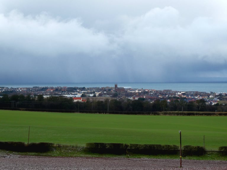
Despite the unsettled conditions, it remains warm and humid in winds chiefly between East and South, with maximum temperatures mainly in the range of 18 to 24C. However, murk and sea fret, which may prove stubborn, will keep some North East England and East Scotland coasts cooler.
Showers and storms into the evening, mainly in the East and across northern England, move North into Scotland after dark. The storms should mostly fade, but heavy, even thundery rain could give copious amounts of precipitation across the North and East of Scotland, where an East wind will bring mist, hill and coastal fog. Further South and across Northern Ireland, the showers will become lighter and fewer, allowing skies to break. Clear intervals develop, and with a southerly breeze light, mist and a few fog patches form towards dawn, chiefly in rural areas. On another mild, humid night, temperatures generally shouldn't fall below 11 to 16C.
The new working week starts very wet over North East of Scotland and the Northern Isles, but this should gradually clear from the South. Elsewhere after some sunshine for most tomorrow, cloud builds once to produce a scattering of showers. A few will become heavy, giving thunder, but they'll be nowhere near as widespread, with some places missing them altogether. It'll continue to feel humid in a light southerly breeze, with maximum temperatures 17 to 23C, locally 24 or 25C in the best of the sunshine.
The showers tend to melt away into the evening, but some will keep going in the North and West overnight. Parts of the South East may also see some rain towards dawn, but there'll be clearing skies for most. With just a light southerly breeze, mist and patchy fog forms again towards dawn, chiefly in rural areas, but in another mild night, temperatures are unlikely to fall below 10 to 15C.
The showery theme continues until mid-week when pressure should begin rising again from the South. This could bring a return of the hot summery weather towards next weekend, particularly to the East and South.
The GFS 18hrs has made a move towards the uninspiring ECM 12hrs run. So not great news however there is still some uncertainty with the pattern across the eastern USA which does impact the behaviour of the troughing to the west in the medium term...
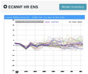
12z essembles for the south! Gfs perhaps showing something a little below average end of the month but nothing substantial at this stage! ECM AIFs no signs of anything cold! ECM maybe the coldest of them all but again nothing very cold, but...
The GFS 18hrs has made a move towards the uninspiring ECM 12hrs run. So not great news however there is still some uncertainty with the pattern across the eastern USA which does impact the behaviour of the troughing to the west in the medium term...
56 minutes ago, snowspotter said: Wow - that’s what I call a bold statement ! It's the same statements I read every single year in this forum. This timeframe holds the most interest basing on some background signals. 9 times out of 10, it turns...
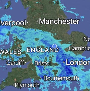
Absolutely hammering it down here, it’s so loud on the roof I can’t get to sleep 😴 Will be some big puddles in the morning, so many drains are blocked with leaves in the village 🥹

Good improvements for scandi high gefs mean