Disruption from snow continues for a third morning across parts of the west. Tuesday saw roads blocked with cars and lorries stuck in the snow and some schools closed in Cornwall after rare heavy snowfall hit the county Monday night. Dozens of schools in Northern Ireland were closed on Wednesday due to snow and icy conditions with hazardous driving conditions. This morning heavy overnight snow has closed Manchester Airport’s runways.
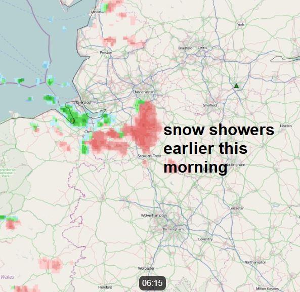
Scattered snow showers will continue feeding southeast across NW England south of Cumbria headed generally across Cheshire and northern Staffordshire, generally petering out beyond here, but a few flurries getting further southeast into the Midlands. Also scattered snow showers (sleet along the coasts) feeding down across the north of Northern Ireland and Wales, which may get a far as southwest England too. The wintry showers will tend to ease and die out through the afternoon in these areas.
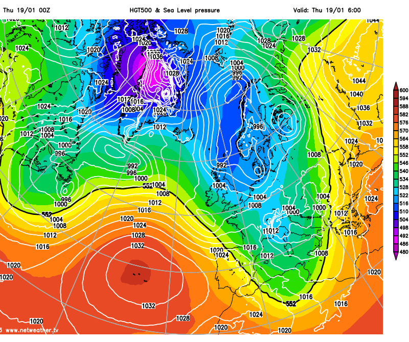
Meanwhile, a band of snow looks to spread south across northern Scotland this morning, the band of snow tending to become restricted towards the east of Scotland before reaching SE Scotland around lunchtime before moving out over the North Sea in the afternoon, perhaps brushing NE England as it does so. Further sleet and snow showers following across northern Scotland.
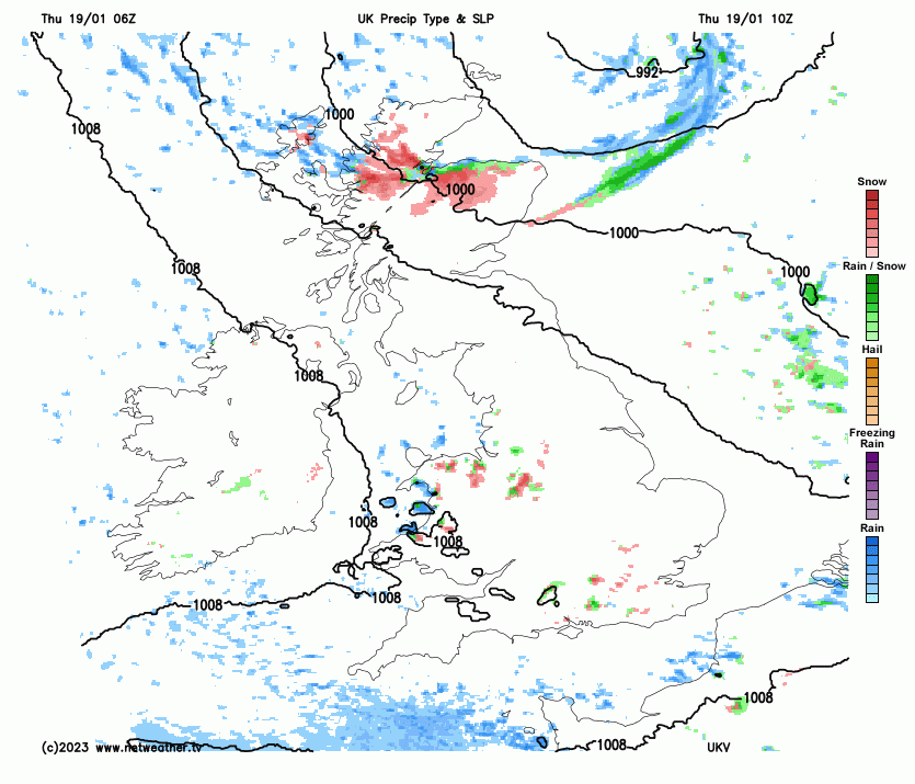
Met Office yellow warnings are in force for snow and ice for northern Scotland, Northern Ireland, NW England, Wales and SW England due to wintry showers and risk of ice forming tonight:
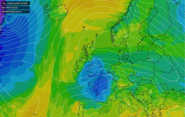
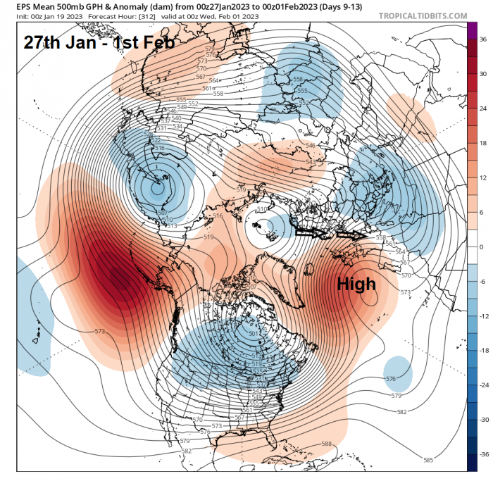
But today looks like the last day of disruption from snow for most, as a ridge of high pressure builds in from the southwest across Britain on Friday, killing off wintry shower activity. The ridge of high pressure extending from the Azores continues to build over the weekend and will link up with high pressure ridging southwest from an area of high pressure over NW Russia and Scandinavia. This occurs as the current cold polar trough close to the east bringing the northerly flow disrupts in the next 24-48 hours to form a cut-off upper low central southern Europe, allowing high pressure to build into the north over northern Europe over the weekend. But also it means the recent cold arctic flow from the north will be cut-off.
High pressure build in across UK and northern Europe this weekend as the upper trough to the east disrupts to form a cut-off low over central southern Europe.
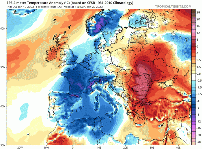
The ridge of high pressure building over the UK will tend to slip southeast through the weekend though, this will allow a milder southwesterly flow to develop across northern and western Britain, with an Atlantic warm front making slow progress east on Sunday, bringing cloud and patchy rain or drizzle to northern and western areas. Temperatures reaching double figures across the far west on Sunday. Southeast England and East Anglia likely hanging on to colder, but drier and sunnier conditions by day over the weekend, with a risk of frost overnight, thanks to a drier continental feed here.
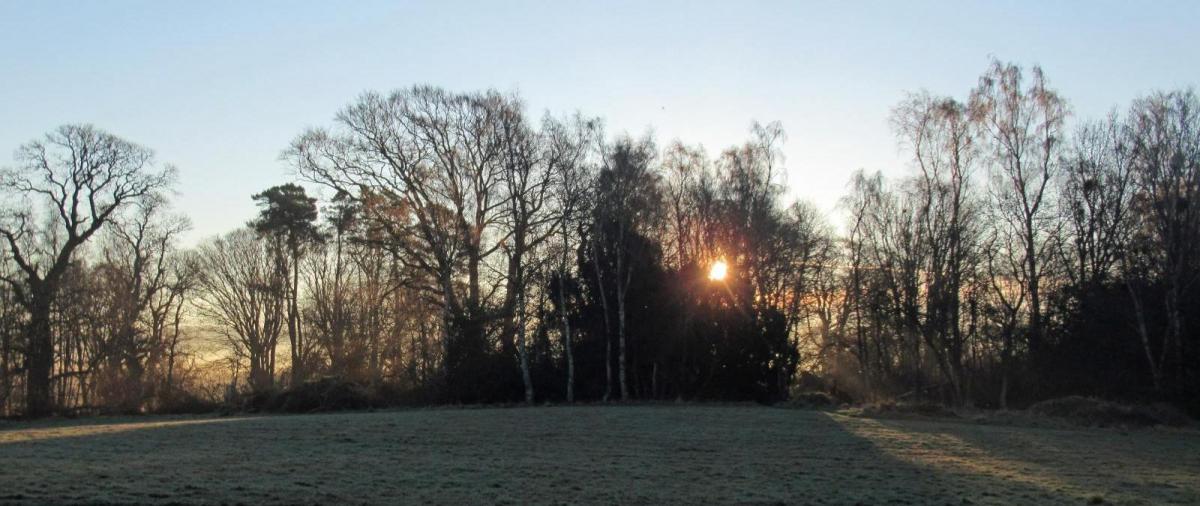
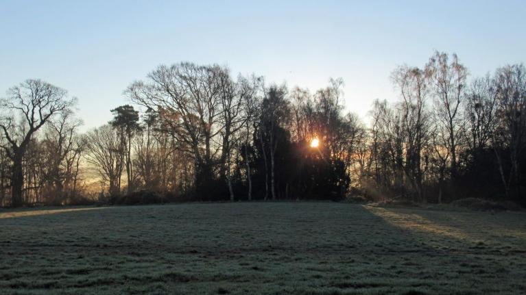
Cold air hanging on towards the southeast this weekend
Monday is looking generally cloudy and damp in places, as set of stalling and weakening weather fronts brings sporadic drizzle or light rain almost anywhere. Still rather chilly across central, southern and eastern England – where temperatures are forecast to reach 4-7C at best, but milder the further north and west you go, reaching double figures in the far west and north. High pressure looks to rebuild on Tuesday, bringing a drier day with perhaps more in the way of sunshine, milder across most parts, temperatures reaching double figures away from the southeast corner – where chilly air may hang on.
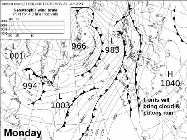
A temporary blip mid-next week, most models agree on an area of low pressure moving east from Iceland into Norway on Wednesday, bringing a band of rain southeast across the UK, perhaps with some wintriness on the back edge over higher ground as colder air follows. But after that, Thursday and Friday are looking drier and more settled, as high pressure builds back in from the southwest.
High pressure looks to be close by for the final four days of this month following the end of next week. But there is uncertainty exactly where the high will position, ensemble guidance suggests the high close to the west, with potential for cold air to return from the north, more especially for eastern areas, but possibly all areas, with a return of widespread overnight frosts and possibly wintry showers returning across northern and eastern areas to see out the month. Though it also possible that milder air from the west may ride over the top of the high.
Loading recent activity...