As England takes another step in lockdown easing next week the cold flow also eases. Not back to the warmth of late March but not as cold and high pressure should bring fair weather.
For those who chose the second week of April to take their Easter holiday break, there will be a whole host of options available in England as the next stage of lockdown easing begins. Often in the UK, it is the weather that presents the gamble, booking the week before or after a gloriously sunny, warm spell and ending up with wind and beating rain.
It was the run-up to Easter that presented the first true Spring warmth with temperatures reaching 24.5C and breaking some location March records. We’ve seen the bitter north winds bring a real chill and even snow to parts on Easter Monday and that cold Arctic air returns with less bite this weekend. And yes, there will be a few snow flurries too.
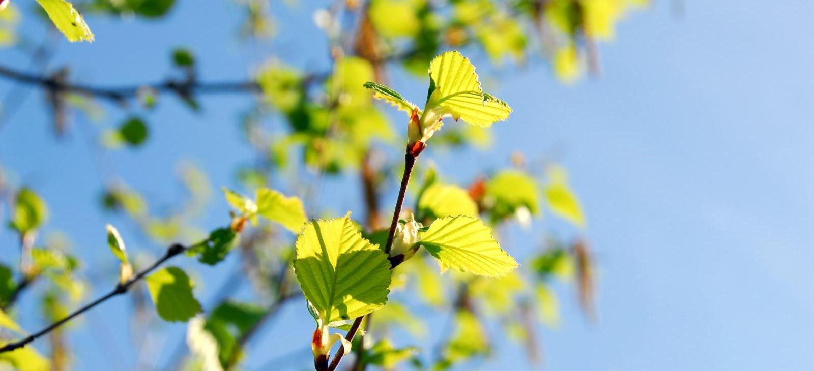
April is always a funny time of year with strong sunshine which can give real warmth in sheltered spots even when the air is still cold. However, as some of the clouds pass overhead or a shower arrives the temperatures dip and, in the wind, it can feel distinctly chilly. Temperatures into next week remain around average and still cold at night with a risk of frost. So, evenings stay nippy too as the sunsets and sitting outside soon brings a chill.
High pressure looks to build over the southern half of the UK next week so that should bring a lot of settled weather to England, often fair with light winds. There does look to be rain on Monday moving southwards and even on Tuesday and Wednesday some thicker cloud and showery outbreaks but just as interruptions to overall fair conditions. Temperatures rise into double figures widely 12 to 16C. So not guaranteed great weather but it could be worse, it won’t be as cold as it has been but also not really warm.
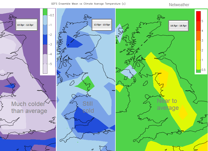
The trend is away from the chilly Arctic air, slowly to still slightly colder than average to around average or above conditions. There is some uncertainty as to whether the high pressure will manage to hold on over the UK or more unsettled Atlantic conditions take over. There will be a southerly flow drawn up to England so could be getting warmer by the weekend of 17th/18th, still a bit in the balance.
So, if out and about, take your coat and sunglasses, sunscreen wouldn’t go amiss either. Find a sheltered sunny spot and all should be well.