
Mostly dry with sunny spells today and tomorrow, turning wet and windy across the north on Thursday, windy for all Friday with rain spreading southeast, followed by showers in the north
It will stay dry for most today, the best of the sunshine across the south. It will be cloudier, breezier and milder in the north over the next few days, with rain moving in across Northern Ireland and Scotland from the west on Wednesday, while on Thursday wet and windy conditions look to sweep in across the north. The south will be dry until Friday, when rain will push southeast across many areas, followed by showers in the north.
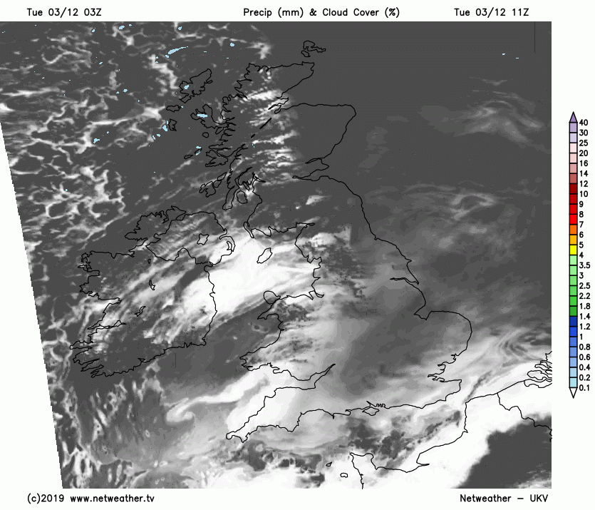
For now, a dry and cold start for most, but a fair bit of cloud around, where skies have cleared in places across southern England temperatures have fallen below freezing locally, with some mist and fog patches in places too, but generally cloud has held temperatures above freezing. A southwesterly breeze across Scotland, brisk wind across the far northwest, means a milder and cloudy start here, with the highest temperatures in the whole of the UK across the far and west of Scotland – with 10C already by dawn.
Mostly dry today, with variable amounts of cloud and some sunshine, the northwest mostly cloudy.
Any mist or fog patches will tend to lift through the morning and cloud will tend to break elsewhere, with many places seeing skies brighten through the morning, with much of England and Wales remaining dry with decent sunny spells through the afternoon. Scotland and Northern Ireland generally dry but on the cloudy side, but, unlike yesterday, at least it will be mostly dry for Scotland today. Some brightness or sunshine likely though to the east of high ground in eastern Scotland though. NW Scotland will see some patchy drizzle or light rain though.
SE England, Midlands and East Anglia will be the coldest part of Britain today, with highs reaching 5-7C, elsewhere across Britain we are looking at highs of 7-9C, though across the far NW of Scotland and far SW of England and SW Wales we could see 9-10C.
Clearing skies across East Anglia, central and southern England along with east Wales will lead to a widespread frost developing overnight and also some locally dense freezing fog patches forming. Northern England, west Wales, Scotland and N. Ireland will hang on to cloudier skies and a breeze will mean a generally milder night. Becoming windy across western Scotland and western N. Ireland – with rain moving in by the end of the night.
Cloud and outbreaks of rain for western Scotland and N. Ireland to start the day will edge eastward through the day, heavy across the west at first but tending to become lighter as it reaches eastern Scotland. Brighter skies but with a few showers following morning rain across western Scotland and N. Ireland. High pressure still just about holding on towards SE Britain on Wednesday, a frosty and foggy start for central and southern areas, fog should lift into areas of cloud, but much of England and Wales should stay dry with sunny spells developing. Temperatures reaching 8-10C across the north and west, but across central, southern and eastern England – where we see the frosty and foggy start, temperatures perhaps only reaching 5-7C at best.

Quite a shake up in the weather across the north as we head through Thursday, as a deepening wave of low pressure and associated active fronts bringing a windy day, with gales across NW Scotland, with some heavy rain sweeping east across Scotland. Rain persistent across western Scotland – where we could see some localised flooding, the Met Office have a yellow warning for rain here. Windy with outbreaks of rain also affecting northern England and N. Ireland. Further south, mostly dry with some sunny spells, but it will be milder with temperatures reaching 10-11C here.

Rain across the north Thursday slipping southeastwards across England and Wales on Friday, lingering across the south into the afternoon, brighter skies but with showers in the west following across central and northern areas. It will be milder than of late across all areas though, with temperatures reaching 10-12C in the north, 12-13C in the south.

Rain clearing the southeast Friday evening and showers fading elsewhere as a ridge of high pressure builds in from the west for Saturday – which will mean a largely dry day for most. A spell of wind and rain looks to move east early Sunday, followed by clearer but colder and blustery conditions with showers in the west.


.jpg?w=350)

