Low pressure is churning its way towards the UK, bringing blustery winds and plenty of hefty showers. Bit of nip in the air tonight.
We have a frontal band of rain stretching down through Britain this morning with cooler air following from the west. This band will clear away eastwards, out over the North Sea and as the skies clear there will be sunshine and drier weather for everyone. The low pressure attached to this front churns in bringing blustery showers from the Atlantic to end the week.
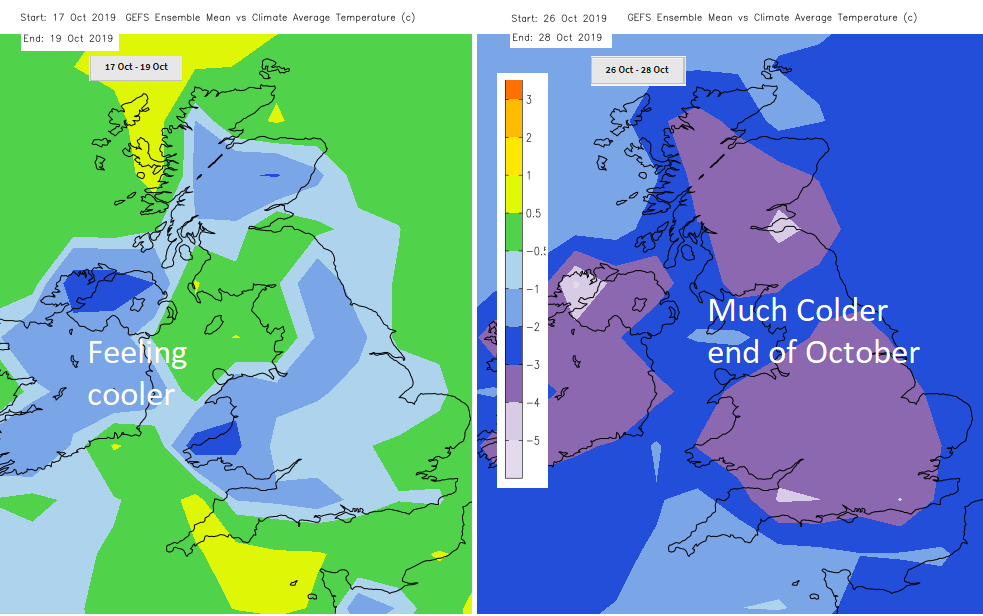
Looking further ahead, the GFS model is showing a colder end to October, so frost and fog look more likely, perhaps even something wintry?
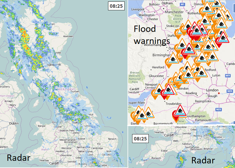
There is still a scattering of flood warnings over England this morning. The occluding front moves the rain east/northeast this morning with the heavier bursts over northern England and Scotland. As it moves away, the skies clear and it will be sunny and drier for most of the UK. The rain won’t clear Grampian until late afternoon and will move across Orkney then Shetland this afternoon and evening. The winds veer from the southeast to the west as the front moves through and cooler air flows in.
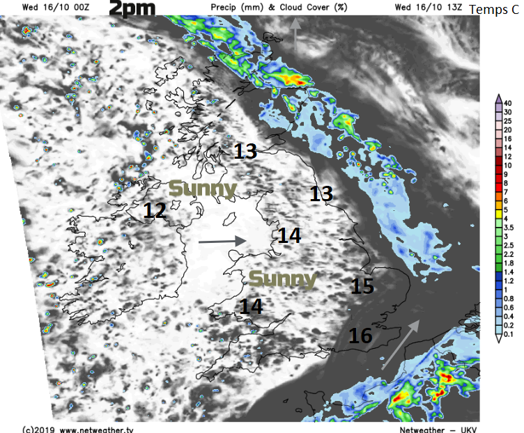
Temperatures will be around 12 to 16C, 17C in central London. Even though pressure is rising there will still be the odd shower for SW England or Northern Ireland coming in from the west this afternoon and this evening.
It will be nippy tonight, feeling cooler than recent nights. NE Britain will see temperatures down near to freezing with a touch of frost, also some fog as the winds fall light across much of eastern Britain. Further west a southerly wind will be picking up as the low centre heads in and more showers feed up from the southwest. So, a blustery start for Co. Londonderry and Co. Antrim, also the Western Isles.
Thursday To start with, many areas will have a fine, autumnal morning but interrupting this will be clusters of heavy approaching the west and south of the UK. A larger area, with thunderstorms possible, is being picked up on the UKV model to affect southern England.
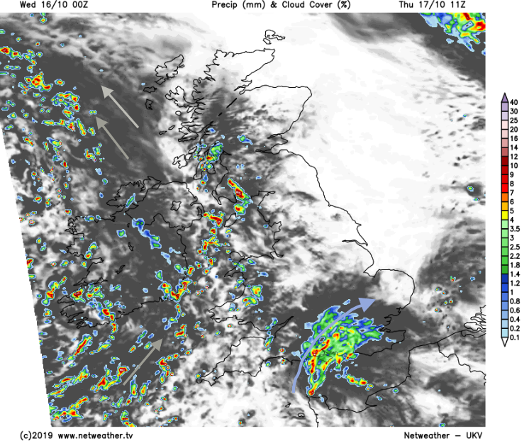
Through the day the S/SW winds freshen with strong winds for western coasts and along the English Channel later on. All the time driving sharp showers in, so some areas get a downpour which comes and goes on the wind and other areas miss them.
Your weather app maybe showing shower then shower followed by another shower symbol, especially if your location is in Ireland, Wales or SW England tomorrow. This is a risk of downpours but do remember that they are usually cells with gaps around them. Keep an eye on the radar to see their progress.
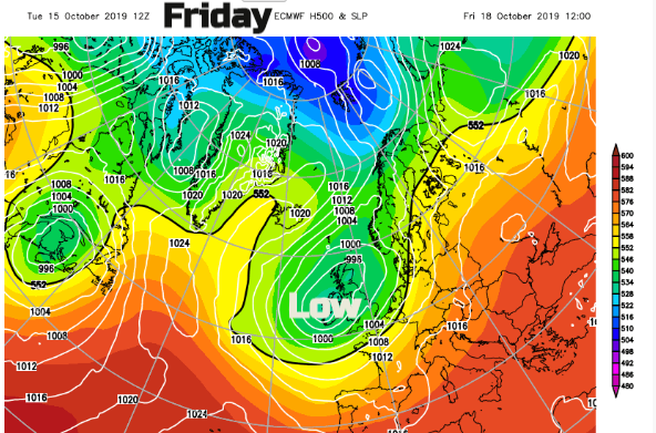
The rainfall charts for Friday and Saturday show high totals for Wales, particularly the west and southern counties of England as these showers rattle through. The showers will be heavy at times with hail and thunder in places. Cumbria also wet and western counties of Ireland have been drenched this month with flooding and there are plenty more showers from the Atlantic this week. By Sunday the focus of the showers will be shifting as the low centre slips across Britain.
Today is the 16th October, 32 years ago southern England was waking up to damage from what is now known as the 'Great October Storm'. Michael Fish puts the story straight about 1987.