Temperatures have come up just short of the UK all-time record today, peaking at 38.1c in Cambridge. Next up is the risk of thunderstorms this evening, overnight and into tomorrow.
Temperatures have come up just short of the UK all-time record today, peaking at 38.1c in Cambridge. That does make it the hottest July day on record, beating the previous best of 36.7c, which was set in 2015.
As mentioned in the forecast this morning, cloud cover spilling in from the south just slowed down the upward temperature trend enough to keep temperatures below the overall record. Temperatures have widely exceeded 30c across the UK today, with even Kinloss in the north of Scotland making it to 30.3c. Change is on the way though.
The hottest, humid air will start to get squeezed out to the east overnight, continuing into tomorrow with just the far east of the country continuing to see some hotter temperatures, into the high-twenties, perhaps low-thirties.
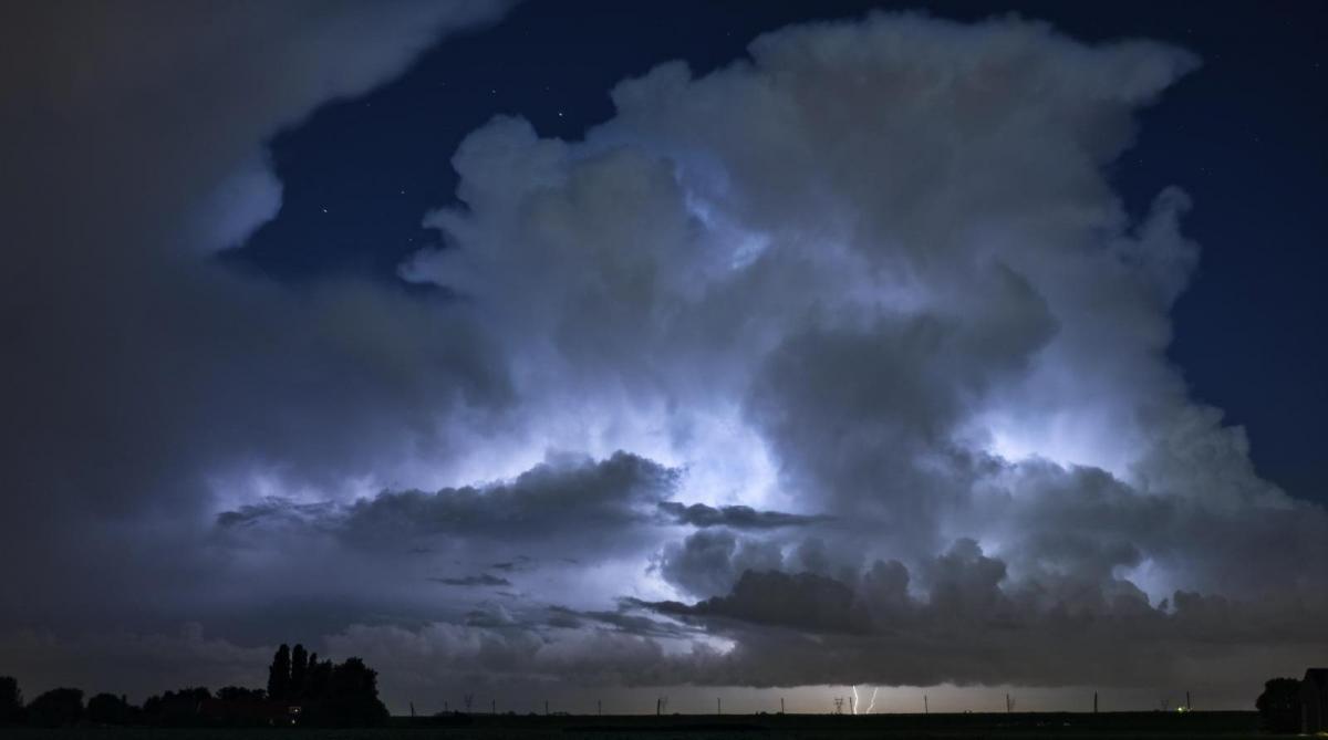
With the change to fresher conditions getting underway, and coupled with the hot temperatures helping to de-stabilise the atmosphere, a good scattering of thunderstorms have already started to develop. These will continue through this evening and overnight, with further downpours tomorrow as well.
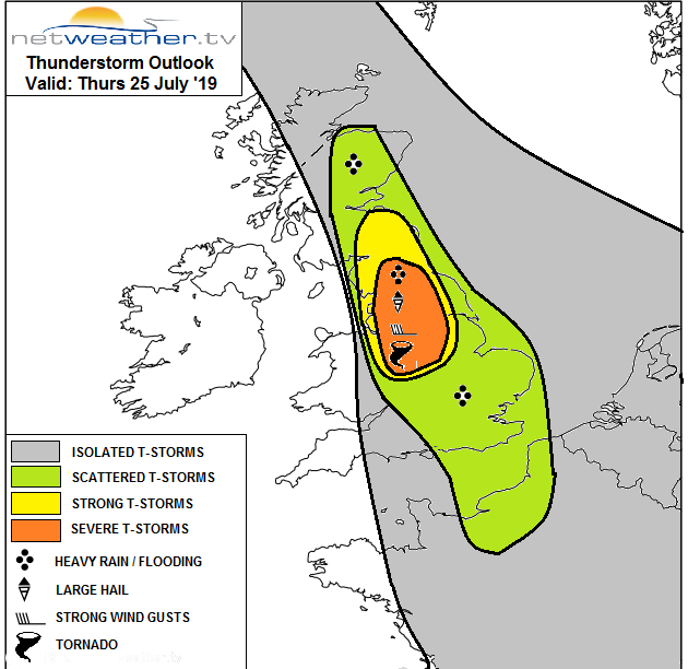
A storm forecast has been issued for the remainder of today and overnight. While the storms won't affect everyone - even in the higher risk areas, there is the potential for some severe storms, with frequent lightning, hail, gusting winds and torrential rain.
You can track the latest storms and downpours on the weather radar.
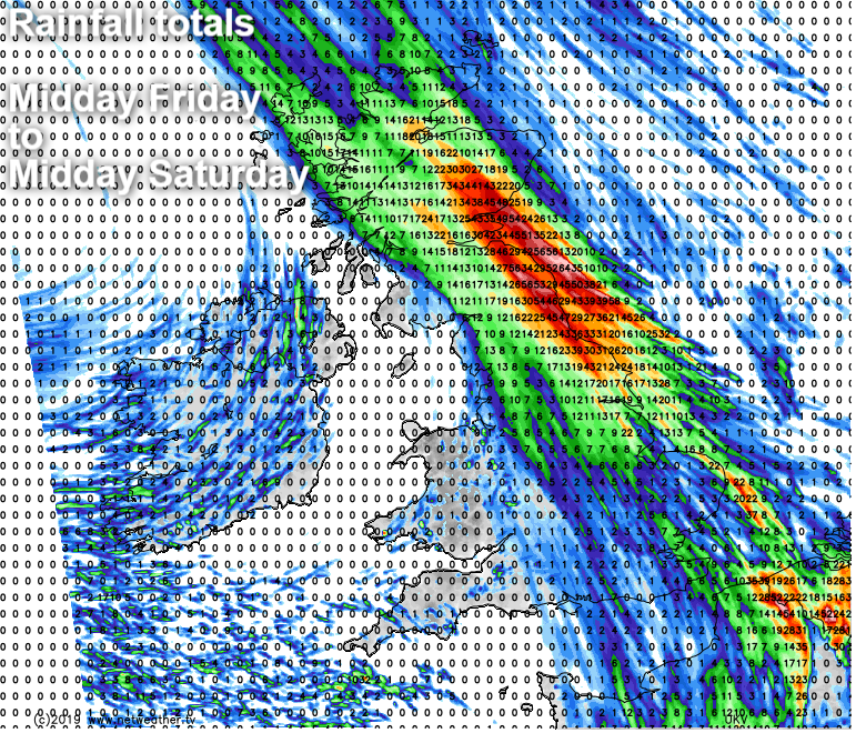
As the cold front bringing the change to fresher weather crosses the country tomorrow, a band of heavy, thundery and showery rain will slowly edge east and north through the day. Ahead of it, isolated storms may also develop.
The added complication with that front is that it will tend to get stuck across the east and north of the country from late Friday and right into the weekend. Pulses of heavy rain are likely to continue to run up along the front throughout, so some high rainfall totals are very likely.
To the southwest of the front, it'll be fresher and brighter with just a few showers this weekend. Into next week, it's looking like a fairly unsettled picture to start with the threat of some wet weather moving up from the southwest into Monday.