A grey, chilly weekend on the way with some sharp showers in the south especially today. Rain with hill snow reaches Scotland tomorrow then next week a cold front sweeps south bringing rain initially then a change to colder weather.
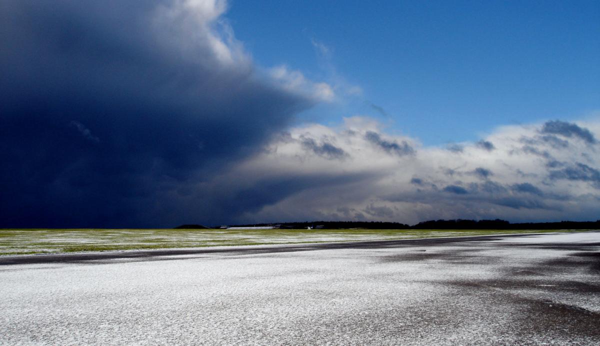
It's not the most inspiring start to a weekend out there, lots of greyness, chilly temperatures and a decent scattering of showers. The direction of travel right now is toward some potentially much colder weather sustaining itself right into February. But the path there is full of uncertainty, with a good amount of weather to come in the meantime, so we'll stick with that this morning.
If you're interested in the extended outlook, and the possibilities following on from the recent sudden stratospheric warming, Nick's latest blog is well worth a read.
This morning, it's been a cold frosty start over the northern half of the country, with snow cover up over the high ground making for a wintry picture. Temperatures are a touch milder today than yesterday though, so that's likely to melt away.
Under the often grey skies, there will be a good few showers about, these most frequent in the southwest and south of the country, where they'll also be heavy at times. Some sleet is likely in amongst the showers in eastern parts, with some snow still possible over the higher peaks.
The best chance of sunnier spells today will be in northern and northwestern Scotland, along, perhaps with a few places down the east coast. In the main though, it stays cloudy with highs peaking in the southwest at 8-10c, elsewhere 4-7c, although northern Scotland colder at 2-4c.
Overnight tonight, the showers will continue for a time in the south, elsewhere it's mostly dry until later in the night at least, when a band of wet weather will get into the northwest of Scotland. For many, it'll be frost free, but where the cloud does break for any length of time, the temperature will fall away, with a few icy patches possible.
That rain in the far northwest will head southeast into Sunday, falling as snow up over the high ground of Scotland, and later northern England - if it makes it that far before fizzling out. For other places, tomorrow brings fewer showers in the south, but still an often cloudy day with the best of any breaks in the east. There'll be a few, mostly light, drizzly showers around too, but they should amount to much. Behind the rain in Scotland, colder air will be filtering south, with bright spells and wintry showers blowing down from the northwest.
Into next week, that colder which arrived from the north on Sunday will get squeezed by milder air from the west on Monday, before making it all the way across the country. With the front bringing it, mostly just a band of cloud with a few bits and pieces of rain on it by this point.
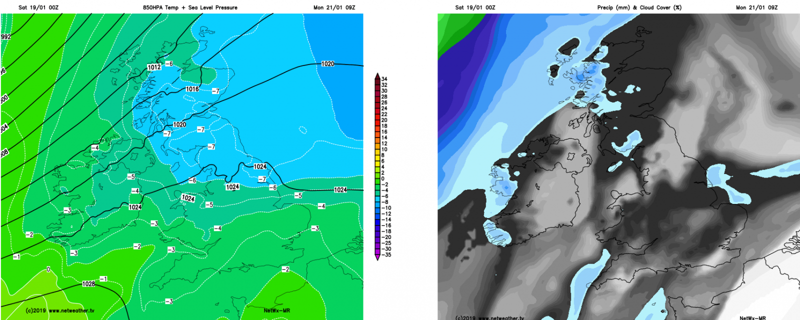
That's only part of the story though, as another cold front will be making its way into Scotland from the northwest during the day, and this one will pack more of a punch, both in terms of the rain on it and also the strength of the cold air behind it. The rain, with snow potentially on it's trailing edge will push southeast later Monday, overnight and into the first part of Tuesday with a fair rash of wintry showers following on behind.
It'll be windy too, initially with southwest winds ahead of and along the front - which are likely to be squally as it passes through. They'll quickly change into the northwest behind it. The winds continue to blow from the northwest during Wednesday, with more wintry showers moving through.
Then, the uncertainty really kicks in, easterly winds look likely, but we'll have to wait for a while to nail the forecast beyond Wednesday down.