Today might be the warmest of the year so far, but change is heading south tomorrow with cooler temperatures, high pressure and a chilly breeze off the North Sea the theme as we head into the weekend
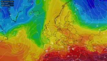
While the south and south east of the UK are basking in very mild temperatures (it's already the warmest day of the year so far at 23.5c in Writtle, Essex, and it's only just gone 1pm as I write this), a little further north it's a very different picture as a slow moving cold front continues to edge south.
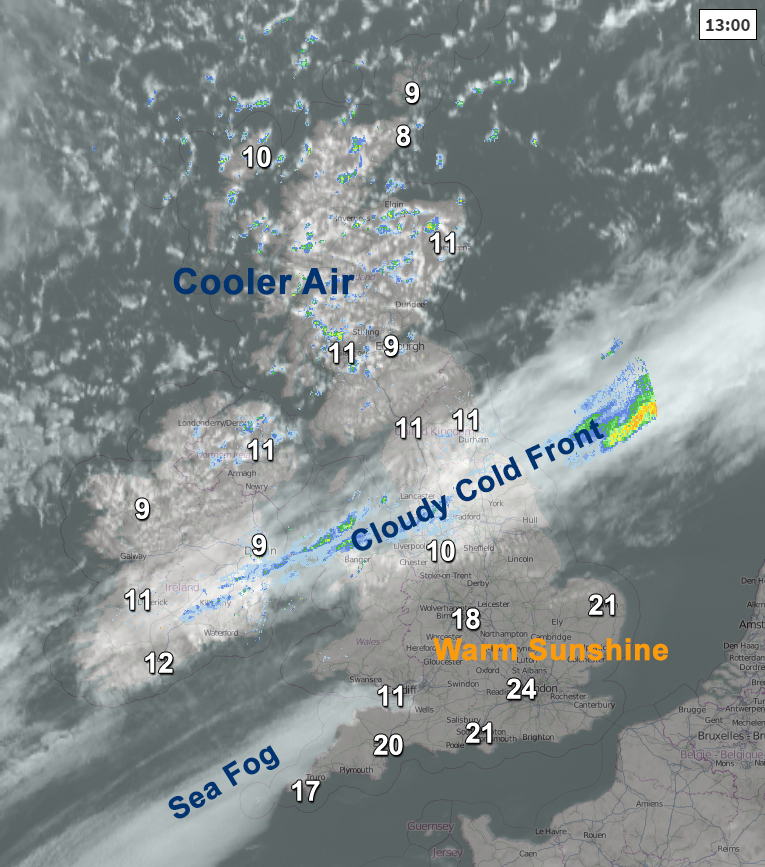
The cold front continues its slow progress south overnight, with a few patchy spells of light rain or drizzle possible over central England & Wales, away from the cloud, it'll be a chilly night with a touch of frost north of the front. Any remaining showers fizzle out by tomorrow, so the front is really just a cloud band by this time, though some showers are still likely for the far north, and north west in particular.
The wide spread in temperatures will be a little closer together tomorrow much of the warmth is pushed away with only a few spots in central southern and south western England in the high teens or low twenties, and a chilly north easterly flow will make it feel much fresher than it has been in the south east in particular.
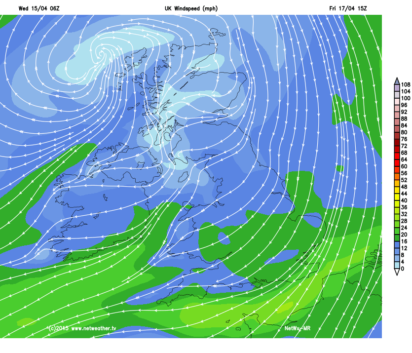
And with high pressure taking charge, we can expect plenty of bright spells, though the cool breeze off the North Sea will keep things chillier for the south, especially in the east and around the coasts, and eastern areas generally will see more in the way of cloud blowing in.