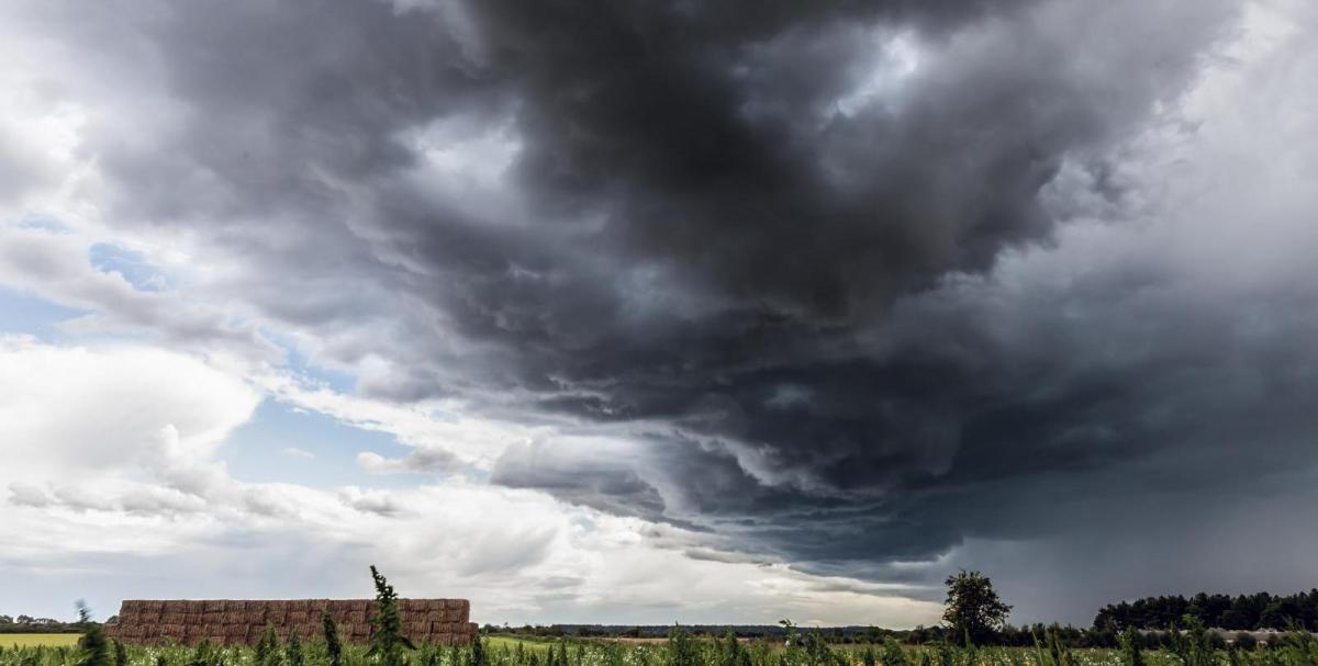



It’s been a cool and showery Bank Holiday Weekend so far for most of the UK, with thunderstorms quite widespread on Sunday across central and northern areas. Bank Holiday Monday will continue the showery theme, though it will turn drier from the west through the afternoon.
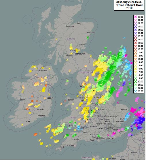
Thundery over the last 24 hours over many parts of the UK
We head into meteorological autumn on Tuesday and the weather will remain changeable - with further spells of rain at times, breezy conditions, and sunnier intervals. However, Scotland, N. Ireland, northern England and Wales will face the heaviest rain and strongest winds, while the south and southeast of England will remain drier and sunnier, while turning warmer and more muggy too later in the week - perhaps reaching 24-25C on Thursday and Friday. While nights will become warmer too in the south after some chilly ones earlier in the week, especially in the north.
Bank Holiday Monday will start mostly dry with sunny spells across many areas. However scattered showers already across the west will develop more widely, some heavy, though thunder much less likely than yesterday, perhaps the odd rumble in eastern England.. It will turn drier and brighter from the west later in the afternoon, though it will remain breezy. Temperatures reaching 15-18C across Scotland and N. Ireland, 18-22C across England and Wales.
Cloud thickening across western Scotland and N. Ireland tonight, bringing some showery rain, otherwise, most places becoming dry with clear spells.
Tuesday will be mostly dry and settled with variable amounts of cloud across England and Wales. However, a band of rain along a cold front, locally heavy and persistent, will sink southwards across Scotland throughout the day, while N. Ireland will see showers. Temperatures similar to today, 15-19C for Scotland and N. Ireland, 20-22C across England and Wales.
Wednesday is looking a more unsettled day for England and Wales, as a frontal system brings a spell of rain eastwards, rain most persistent and heavy for Wales, northern England, Northern Ireland and southern Scotland. Patchy light rain or drizzle for southern and eastern England. Northern Scotland could stay dry and bright or sunny though. Feeling fairly muggy across England, Wales and N. Ireland, despite the could and rain, temperatures reaching 20-22C. High teens across Scotland.
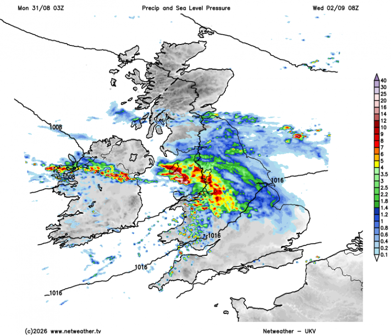
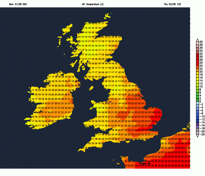
On Thursday most of the UK will be under a moist west or southwesterly flow, so it could be a rather cloudy day with patchy light rain or drizzle - especially over western hills - where it may turn locally persistent. Drier towards the east coast - where we may see some sunny spells. Another muggy day though, temperatures widely reaching the low 20s, perhaps up to 25C in SE England or East Anglia where the sun comes out for long enough.
Turning warmer and muggy across southern and eastern England later in the week
Some uncertainty by Friday, an area of low pressure may or may not develop and move in from the southwest Thursday night, bringing an area of heavy and persistent rain northeast across central and northern areas before clearing out over the North Sea Friday morning but with a trailing front bringing a band of cloud and rain southeastwards across England and Wales. Uncertainty over how quickly the trailing front clears southern England, but it could bring cloud and rain here for a time before clearing. Brighter but cooler and fresher conditions following, but with showers across the northwest, turning quite breezy too.
Next weekend could be warmer and drier for England and Wales, as high pressure builds, but Scotland and N. Ireland looking more likely to retain more changeable conditions with spells of rain, cooler and breezier conditions.
Loading recent activity...