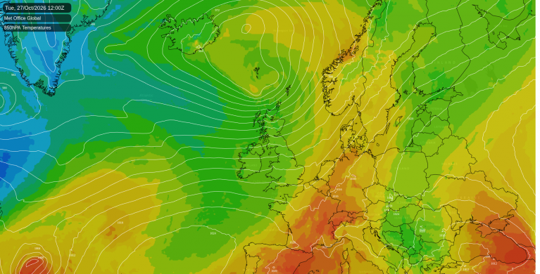
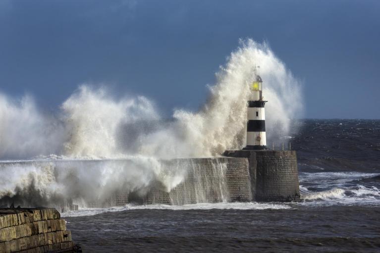
Sunday has brought a brief respite from the recent very warm or hot weather across England and Wales, as a fresh northwesterly wind brings more in the way of cloud and showers across many areas, though very little or no rain across the south.
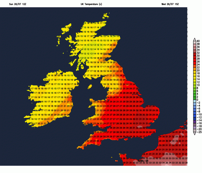
However, the heat looks to build again in the coming working week across England and Wales, as we tap into another intense heatwave building over the near continent. We could reach heatwave thresholds from Tuesday. Temperatures on Wednesday are forecast to reach the low 30s, perhaps 32-33C, across southern England and East Anglia, before temperatures drop again later in the week. Could still squeeze 30C in the far southeast and East Anglia on Thursday, but by Friday coming down into the mid-20s in the southeast, high teens to low 20s elsewhere by then.
Heat builds towards mid-week across the south, before easing off later in the week
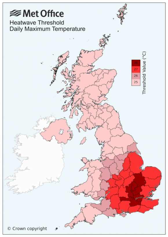
Will it be a heatwave? The Met Office states the heatwave threshold is met when a location records a period of at least three consecutive days with daily maximum temperatures meeting or exceeding the heatwave temperature threshold. London, parts of inland southern England and East Anglia could see three days in a row with 28C+, so maybe. This would be the fourth heatwave of the year.
It will be a different story for the north Monday to Friday, where it will be cooler, cloudier and breezier with showery outbreaks of rain at times, locally heavy.
Saturday saw a north-south split, with very warm or hot sunshine across the south, temperature reaching 30C at Teddington in west London, while the north was cloudier and cooler with showers spreading southeast.
Sunday has been a somewhat cooler and breezier day for all, with patchy rain or showers spreading southeast across most parts this morning, though some places stayed dry. It turned drier and sunnier in the south this afternoon, while the north and west stayed cloudier with showers and occasional sunny spells, some of the showers heavy across NW England and eastern Scotland early this evening.
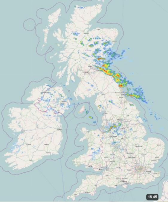
Still some showers for northern and western areas overnight, dry with clear spells across southern, central and eastern England, temperatures falling into the low teens.
Much of England and Wales largely dry with sunny spells on Monday, cloudier with occasional showers from northern England northwards. Temperatures reaching 25-27C across SE England, Midlands and East Anglia. High teens to low twenties elsewhere.
Tuesday will again be dry and sunny for the south, temperatures reaching the high 20s toward eastern England, maybe 30C locally here, low to mid-20s elsewhere across England and Wales. Northern England northwards seeing more in the way of cloud off the Atlantic on the stronger southwesterly breeze here, with showery rain at times across the northwest.
Wednesday the hottest day of the week, temperatures reaching 31-33C inland across southern England, East Midlands and East Anglia, the mid to high 20s across western England and east Wales, low twenties further north and west. Cloudier with further rain across the northwest, though eastern Scotland may stay dry and bright.
It looks to remain dry and sunny across England and Wales, away from Cumbria, on Thursday and Friday too, highest temperatures towards SE England and East Anglia where we could reach the high 20s on Thursday, mid-20s on Friday. So temperatures on the way down.
Next weekend is looking mostly dry and warm for eastern areas too, but we may see a change to more unsettled conditions with spells of rain or showers arriving in the west late in the weekend spread to all parts into the following week, but a great deal of uncertainty over this.
Loading recent activity...