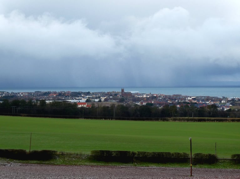
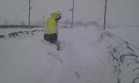
Parts of England and Wales have seen some spectacular thunderstorms roll through overnight, with near constant lightning and thunder experienced across parts of the Midlands in the early hours, there were also reports of large hail across Dorset as thunderstorms developed here before moving north.
There are still a few storms rumbling across northern England at breakfast time, but generally these storms will die out this morning, though showers will continue to drift north across northern England into southern Scotland before fading this morning. Mostly dry and sunny elsewhere this morning
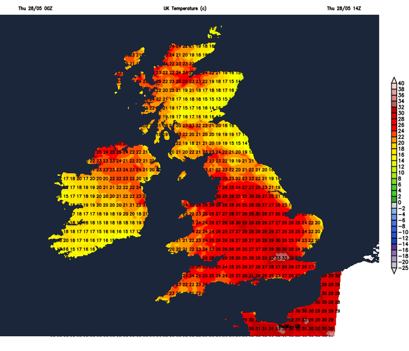
Most places dry and sunny into the afternoon and, despite the storms overnight, it will actually be hotter than yesterday, having lost the northeasterly breeze in the south, with temperatures reaching the high twenties degrees Celsius quite widely from NW England down through the Midlands and SE England, locally 30-31C in the London area. It will be humid too, making it feel sticky. Widely warm elsewhere, with temperatures reaching the low to mid twenties, though cooler across the southwest than yesterday and also eastern coasts. There will be quite a lot of high cloud spilling northeast across England and Wales through the afternoon and we may see some heavy showers develop across southern England in the afternoon into the evening, perhaps even a few thunderstorms too.
Showers in the south fading overnight, to leave a generally dry night with clear spells, warm again, especially in the east. The exception will be across N. Ireland, northern and western Scotland, which will be cloudier and breezier with some showery rain.
Not as hot on Friday, though generally dry and sunny across England and Wales in a southwesterly breeze, temperatures reaching 21-25C, perhaps 26-27C across SE England and East Anglia ahead of a cold front, which could incidentally produce some heavy showers during the afternoon here before it clears east. Scotland and N. Ireland a cooler more unsettled picture with cloud and showery rain, breezy too.
The weather will cool down but also eventually turn more unsettled from the west off the Atlantic over the weekend. Saturday is looking largely dry and sunny across the bulk of England and Wales, showers of longer spells of rain and breezy for Scotland and N. Ireland, showers eventually spreading into northern England and west Wales later in the day. Sunday a cloudier and breezier day for all, with scattered showers - most of which will be across north and west, where showers could turn more prolonged. Temperatures reaching the high teens to low twenties at best over the weekend, highest temperatures towards eastern England, lowest in the north and west.
Next week looks more unsettled, with greater chances for more meaningful rainfall for the southern areas, where it has been particularly dry over recent weeks. This is because a strong zonal jet stream arriving this weekend over the UK off the North Atlantic is forecast to shift further south, to the south of the UK at times, through next week. This will bring areas of low pressure further south across the UK.
A strong jet stream arrives off the Atlantic this weekend, turning weather unsettled into next week, the jet shifting south too, so some useful rain for the dry south
So spells of rain, perhaps prolonged and heavy, may affect southern areas on Monday and again Wednesday, otherwise showers or longer spells of rain moving through most areas at times next week, breezy or windy too at times, but there will be some drier and sunnier spells, but not prolonged. Temperatures closer to average for the time of year too next week, compared to way above average this week.
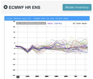
12z essembles for the south! Gfs perhaps showing something a little below average end of the month but nothing substantial at this stage! ECM AIFs no signs of anything cold! ECM maybe the coldest of them all but again nothing very cold, but...
The GFS 18hrs has made a move towards the uninspiring ECM 12hrs run. So not great news however there is still some uncertainty with the pattern across the eastern USA which does impact the behaviour of the troughing to the west in the medium term...
56 minutes ago, snowspotter said: Wow - that’s what I call a bold statement ! It's the same statements I read every single year in this forum. This timeframe holds the most interest basing on some background signals. 9 times out of 10, it turns...
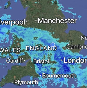
Absolutely hammering it down here, it’s so loud on the roof I can’t get to sleep 😴 Will be some big puddles in the morning, so many drains are blocked with leaves in the village 🥹
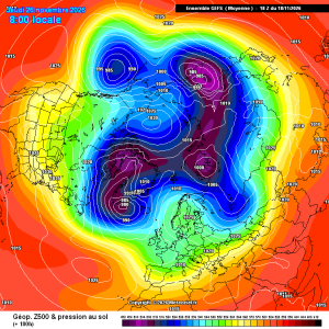
Good improvements for scandi high gefs mean
23 minutes ago, damianslaw said: Saturday morning could produce a new low for the season. Cold ridge and light winds recipe for notable chill. Could be a while before we see temperatures that low again?!