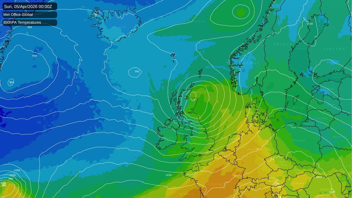
This Easter is featuring a relatively unusual weather pattern for the time of year: wet and windy at times, with a strong west to south-westerly regime. This sort of weather pattern is normal during autumn and winter, but it tends to be less common during spring and early summer, when westerlies are traditionally at their weakest, slow-moving patterns tend to dominate and there is often a relatively high frequency of northerly and easterly winds.
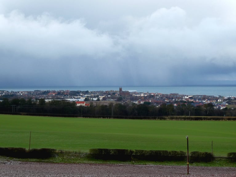
The Met Office has a number of yellow and amber weather warnings out for the named Storm Dave, which will push into north-western Britain through this afternoon and evening and through tonight. These cover Scotland, northern England, Northern Ireland and north Wales. Areas to the south of these areas are forecast to avoid the damaging winds, but are still forecast to become very windy for a time. A scoop of cold air from Canada will follow behind in a westerly flow, so Easter Sunday will have wintry showers for some, mainly in Scotland, though there will also be a fair amount of sunshine in between the showers.
As is often the case in these situations, the current westerly pattern is being reinforced by cold air outbreaks over Canada and the north-east of North America, coming into the North Atlantic and clashing with much warmer air masses to the south and relatively high sea surface temperatures, generating cyclogenesis and powering up the jet stream.
Wet and windy westerly-dominated weather is unusual at this time of year, but not unprecedented. For example, during a westerly-dominated spell at the end of March 2016, we had a named storm Katie on 27-28 March, which also coincided with part of the Easter weekend that year. And much further back in the archives, March 1994 was the most "westerly" March on record, and the westerlies continued into early April, which brought some particularly strong and in places damaging winds on 31 March and into early April. Many areas had wintry showers afterwards over the Easter weekend as the westerly flow brought cold air in from around Canada and Greenland. These instances, too, followed intense pools of cold air coming out of Canada into the North Atlantic.
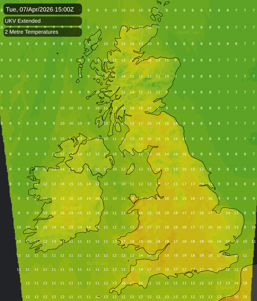
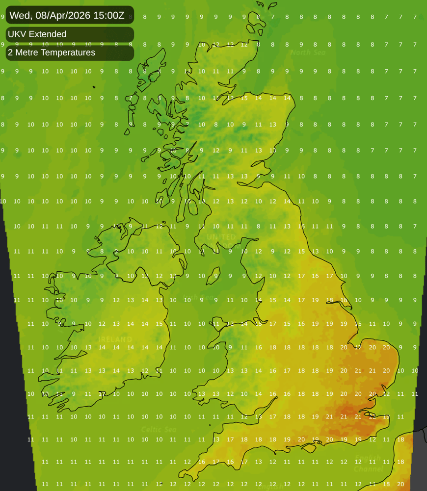
But a big change is forecast for early next week. A ridge of high pressure will develop to the south-east and will bring in a notably warm southerly flow for the time of year. Easter Monday will see temperatures close to the long-term normal for the time of year, but Tuesday and Wednesday are forecast to be very warm for the time of year, and temperatures are likely to creep above 20C in parts of the south. The warm air will also push a long way north, with highs of around 18C forecast for the Scottish Lowlands between Edinburgh and Glasgow. It will only last for two days - much cooler air will come in for Thursday - and it also probably won't break temperature records, but it will be a very noticeable change after the current changeable and windy regime.
For the longer term, the forecast models are suggesting that we will keep a changeable south-westerly influence for a while, but that high pressure will increasingly dominate over Scandinavia, eventually bringing drier, and probably colder, weather in from the east.
My confidence in us getting a colder easterly is not high. The medium-range forecast models have been regularly forecasting colder easterlies, including an instance in mid to late March that didn't materialise, and several other instances through January and February which had potential to bring widespread snow events but ended up heavily watered down. However, I do have relatively high confidence that the west to south-westerly type will fade, with quieter weather developing as we head towards mid-April, be it via high pressure or mainly southerly or easterly winds.
56 minutes ago, snowspotter said: Wow - that’s what I call a bold statement ! It's the same statements I read every single year in this forum. This timeframe holds the most interest basing on some background signals. 9 times out of 10, it turns...
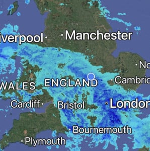
Absolutely hammering it down here, it’s so loud on the roof I can’t get to sleep 😴 Will be some big puddles in the morning, so many drains are blocked with leaves in the village 🥹
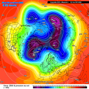
Good improvements for scandi high gefs mean
23 minutes ago, damianslaw said: Saturday morning could produce a new low for the season. Cold ridge and light winds recipe for notable chill. Could be a while before we see temperatures that low again?!

2 hours ago, Dennis said: there is heading in a new Polarvortex warming Today's ECM chart has strengthened the zonal wind mean.
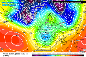
This is a pretty decent chart for late nov in a strong Nino, the Atlantic does get in briefly afterwards, but the pattern seems to amplify again. Just a casual 940 Hebrides low. Hello darkness and all that. Then, quite randomly, it’s back to...