An unusual weather event is happening over the Middle East this week, as a powerful storm system, more akin to those seen roaming Tornado Alley in the USA, unleashes flooding rains, hail, strong winds and frequent lightning on the Middle East. This is a fairly rare atmospheric setup for the mostly arid desert region, though late March is a transition period between winter and spring, which often causes large temperature differences between air masses compared to other times of year, contributing to greater instability.

From the Arabian Peninsula to the Persian Gulf, strong to severe thunderstorms are spreading east on Thursday. Vast desert areas could experience flooding, with some locations receiving an entire year's worth of rainfall (perhaps around 100mm in drier areas) in just three days. The impact of this storm is expected to stretch from parts of Saudi Arabia across Bahrain, Qatar, United Arab Emirates, Oman and north deep into Iran.
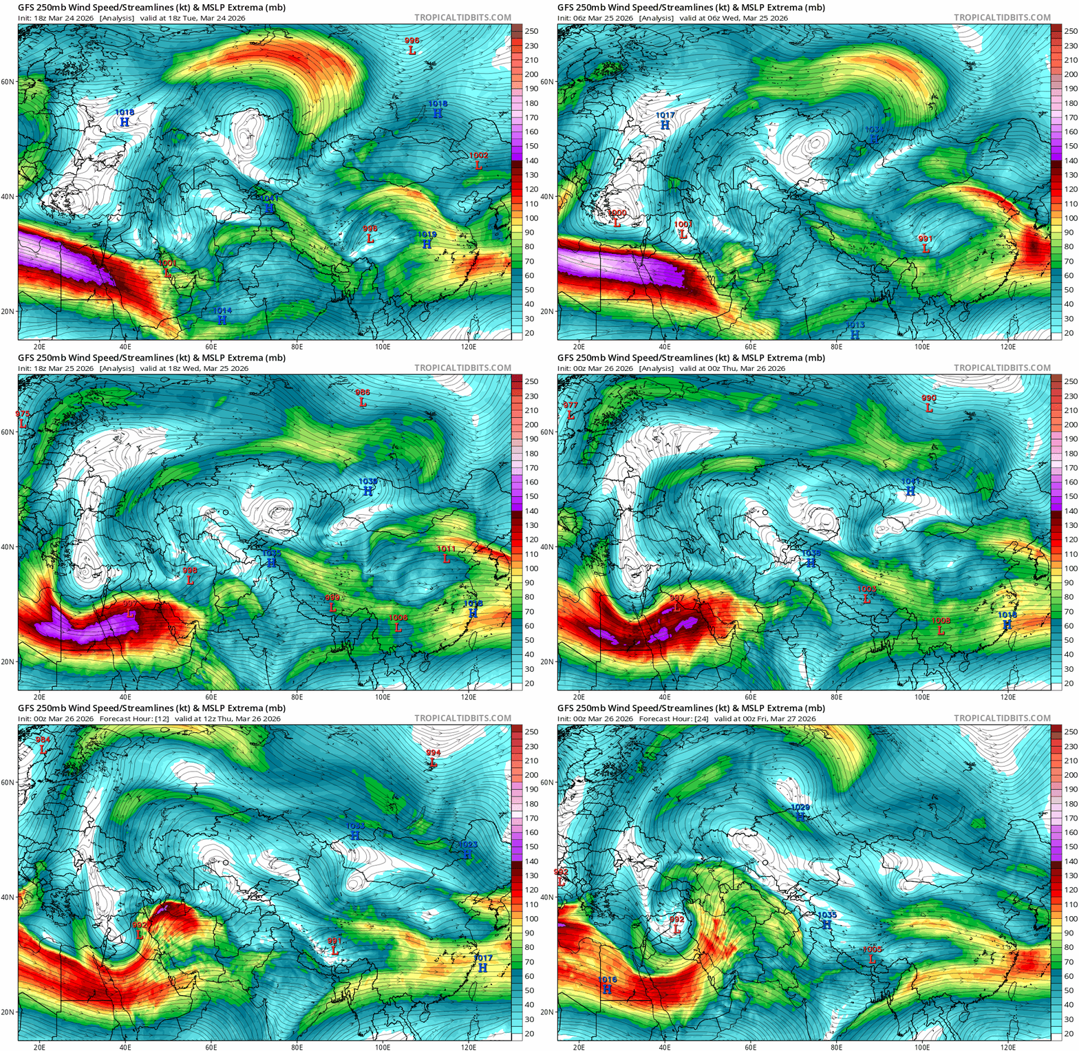
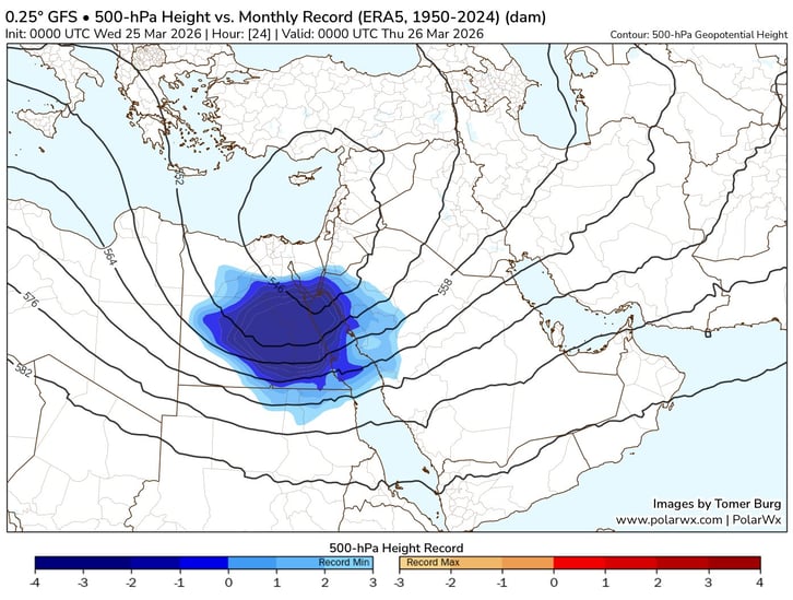
A dip in an unusually strong sub-tropical jet stream across the far north of North Africa and into the Middle East has allowed colder air aloft to drop south across Egypt into the Middle East since Tuesday to form an unusually deep upper low for that latitude. The low across Egypt yesterday was likely the deepest on record at 500 hPa height for March, as the chart below suggested.
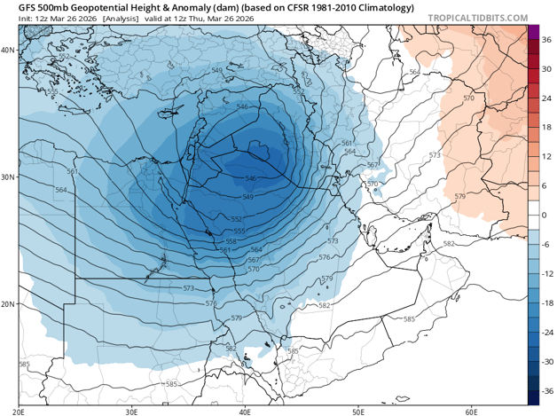
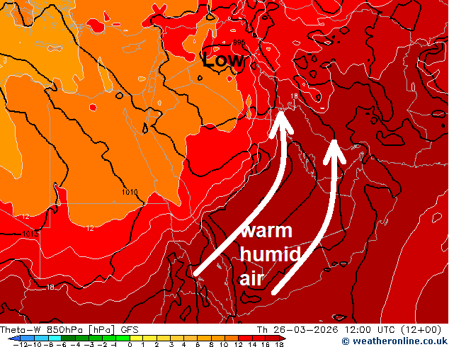
The upper low is moving east across the Middle East on Thursday, with the low pulling warm and moist air north across the Arabian Peninsula ahead of it which is overlapped by colder air aloft spreading east with upper low, creating steep lapse rates and bands of thunderstorms forming along areas of strong ascent on the forward side of the upper low moving east.
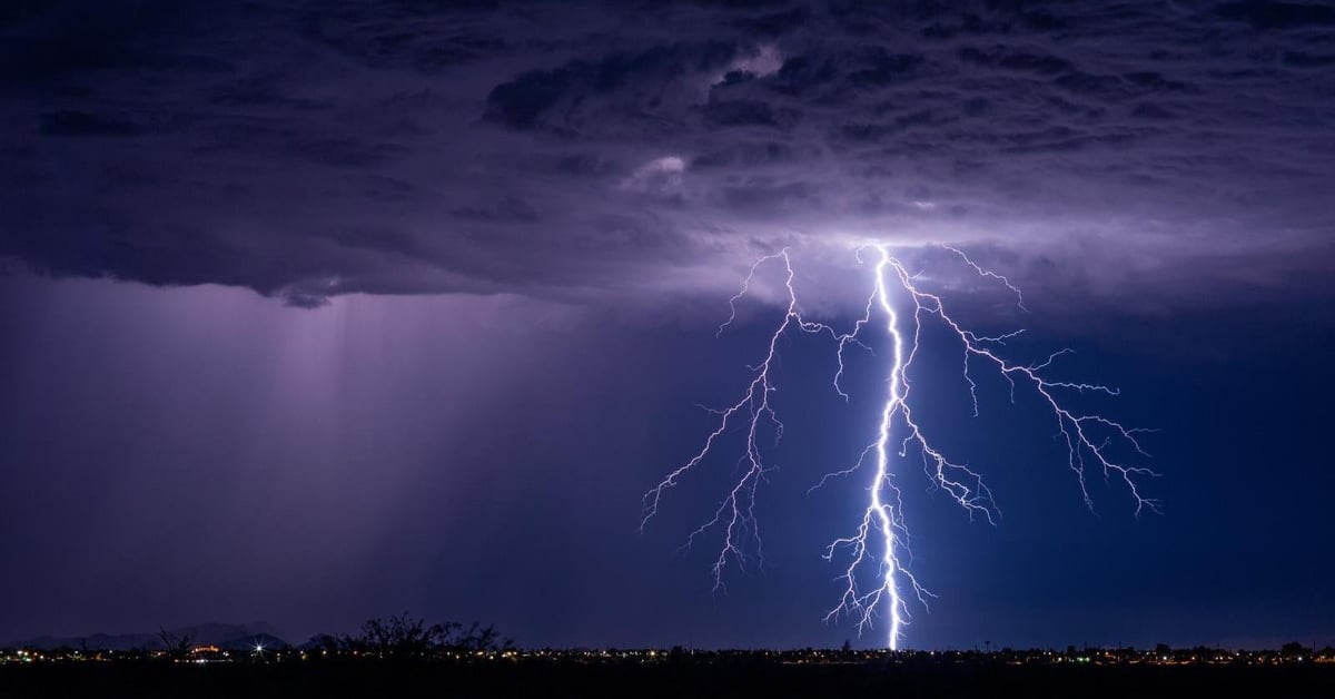
Bands of strong thunderstorms, accompanied by hail, intense rainfall, frequent lightning and strong downdraft winds have been moving east across parts of Saudi Arabia today, affecting the capital Riyadh earlier, also crossing Doha in Qatar, the United Arab Emirates and Oman.
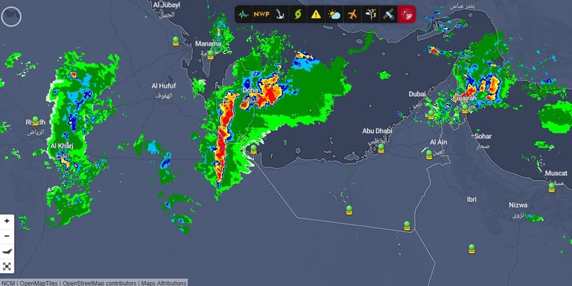
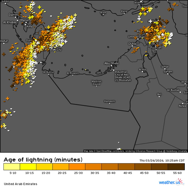
The thunderstorms have and will continue cause flash floods in the deserts, particularly the Wadis, while strong downdraft winds could gust to 20–50 knots. Even a tornado or two can’t be ruled out.
The radar and lightning charts above from this afternoon (after dark local time) shows areas of storms over Doha in Qatar and adjacent Perisan Gulf, further south over Saudi Arabia clearing Riyadh and further east over northern Oman and north of UAE.
Further discussion in the Netwather forum - Gulf states weather
Some stormy scenes from UAE today and Qatar yesterday on x;
https://x.com/NickJF75/status/2037201474606842192?s=20
https://x.com/HespressEnglish/status/2037129942270439611?s=20
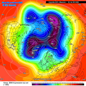
Good improvements for scandi high gefs mean
23 minutes ago, damianslaw said: Saturday morning could produce a new low for the season. Cold ridge and light winds recipe for notable chill. Could be a while before we see temperatures that low again?!

2 hours ago, Dennis said: there is heading in a new Polarvortex warming Today's ECM chart has strengthened the zonal wind mean.
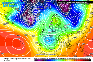
This is a pretty decent chart for late nov in a strong Nino, the Atlantic does get in briefly afterwards, but the pattern seems to amplify again. Just a casual 940 Hebrides low. Hello darkness and all that. Then, quite randomly, it’s back to...
12 minutes ago, stewfox said: Meanwhile the GFS18z. Its say hello and waive goodbye again. More flipping and flopping As expected!
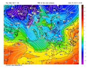
3 minutes ago, stewfox said: Meanwhile the GFS18z. Its say hello and waive goodbye again. More flipping and flopping Don't think there will be anything remotely consistent on the nhp after the next week.The whole nhp is in in a state of flux ie...