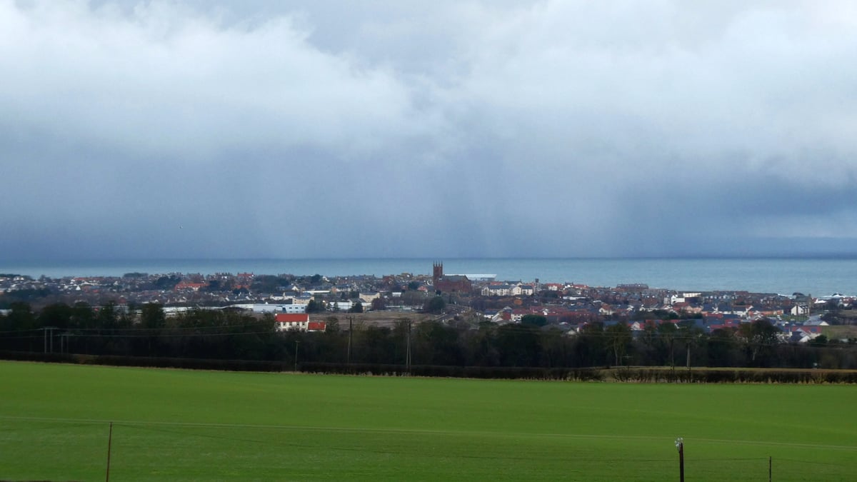
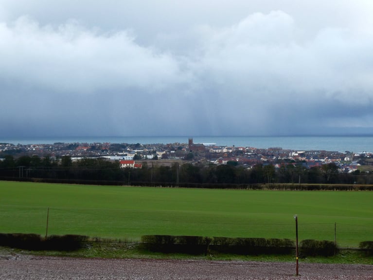
Make the most of any warm sunshine the next few days, as the weather models all indicate that the settled spring weather is set to undergo a significant shift this coming week, moving from a warm, sunny weekend to much colder, unsettled conditions with a risk of wintry showers from mid-week and a cold northerly wind.
The past week has seen some very decent weather for late March, with unbroken sunshine in places and temperatures reaching 20C in England, Wales and Scotland.
After a fine and dry Saturday with plenty of sunshine for many, Sunday will see a north-south split across the UK, cloud and patchy light rain will gradually sink southeast across Scotland and Northern Ireland into northern England through the day, followed by clear spells and blustery showers in NW Scotland. Further south, after a frosty and, in places, misty or foggy start, Wales and the rest of England will have another fine day with plenty of hazy sunshine.
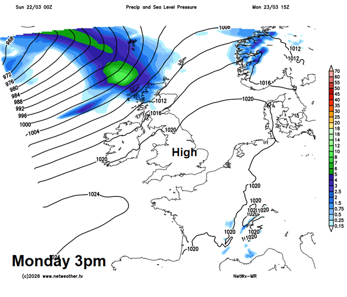
The start of next week looks mostly dry with hazy sunny, with high pressure in charge, though wet and windy conditions look to set in across northern Scotland during Monday, heralding a change to colder and more unsettled conditions spreading southeast for all parts from mid-week.
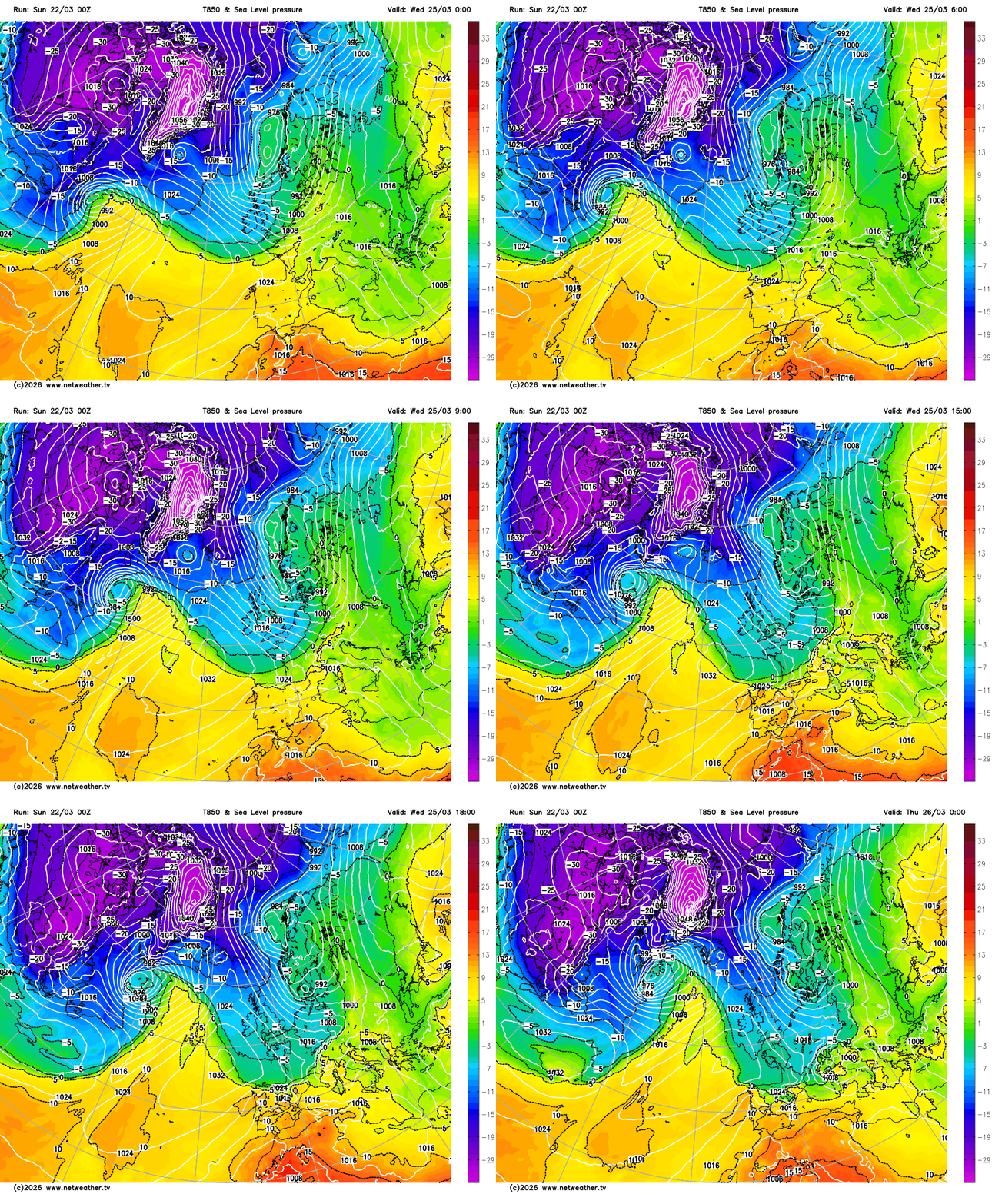
Tuesday is a transition day from the recent fine and settled weather to more unsettled and colder conditions. A band of squally rain and strong winds along a cold front spread southeast across northern and western areas, followed by colder but clearer polar maritime air with blustery showers in the northwest, which will turn wintry over higher ground. Southern, central and eastern England staying mostly dry and mild, bright in the morning, but cloud thickening with patchy rain perhaps developing in the afternoon. Temperatures south of the front reaching 13-16C, north of the front 10-13C.
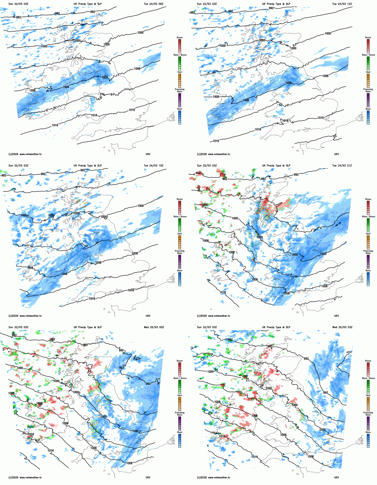
A cold front and a band of rain looks to clear SE England Tuesday night, followed by colder and clearer north to northwesterly flow, with sunshine and wintry showers following across many areas on Wednesday falling as hail, sleet or snow even to lower levels, though settling snow confined to high ground in the north and west. Everywhere feeling cold in the wind, so worth digging out the winter clothes again. Temperatures reaching 6-9C at best, wind chill making it feel colder than that.
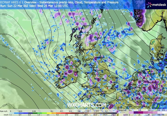
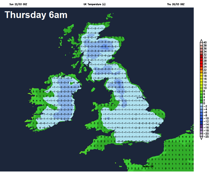
After a widespread frost Wednesday night, Thursday will continue with a northerly wind, but showers, wintry in nature, will become confined to eastern coastal areas, with most having a dry and sunny but cold day for late March, temperatures reaching 5-8C at best.
Friday looks to see temperatures recover as winds turn more westerly and an Atlantic frontal system brings cloud and some rain east across most areas through the morning, after a cold and frosty start towards eastern England. Brighter conditions but with blustery showers following from the west through the afternoon.
The weather looks to remain changeable into next weekend, high pressure will try to build in from the southwest on Saturday, which could bring a mostly dry and sunny day, but another Atlantic frontal systems may push in from the west on Sunday, along with strong winds, with cloud and outbreaks rain spreading east after a fine start in the south, perhaps gales developing in the north.
56 minutes ago, snowspotter said: Wow - that’s what I call a bold statement ! It's the same statements I read every single year in this forum. This timeframe holds the most interest basing on some background signals. 9 times out of 10, it turns...
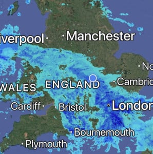
Absolutely hammering it down here, it’s so loud on the roof I can’t get to sleep 😴 Will be some big puddles in the morning, so many drains are blocked with leaves in the village 🥹
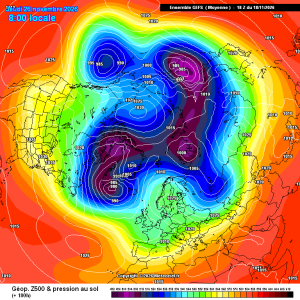
Good improvements for scandi high gefs mean
23 minutes ago, damianslaw said: Saturday morning could produce a new low for the season. Cold ridge and light winds recipe for notable chill. Could be a while before we see temperatures that low again?!

2 hours ago, Dennis said: there is heading in a new Polarvortex warming Today's ECM chart has strengthened the zonal wind mean.
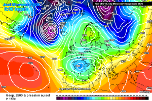
This is a pretty decent chart for late nov in a strong Nino, the Atlantic does get in briefly afterwards, but the pattern seems to amplify again. Just a casual 940 Hebrides low. Hello darkness and all that. Then, quite randomly, it’s back to...