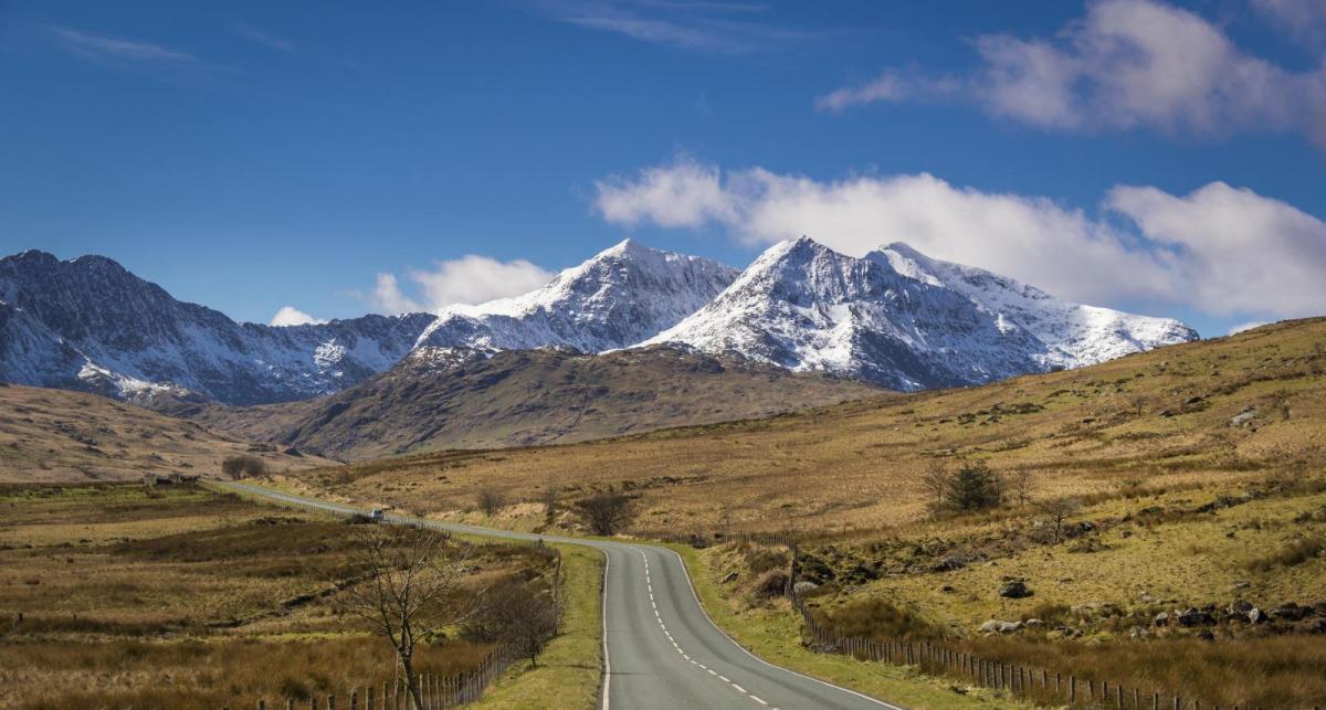
The UK and large parts of Europe will have a dry and settled Christmas but will it hold until the New Year?
Following a cold and windy Sunday, as a deep area of low pressure moving into Scandinavia from the Atlantic brought a strong to gale force showery northwesterly flow, a strong ridge of high pressure will move from the Azores across northern and western Europe this week, promising a dry Christmas for many here, including the UK and Ireland. It will be mild through much of this week, even across Scandinavia, thanks to a long-fetch southwesterly flow developing off the Atlantic and pushing deep into NE Europe.
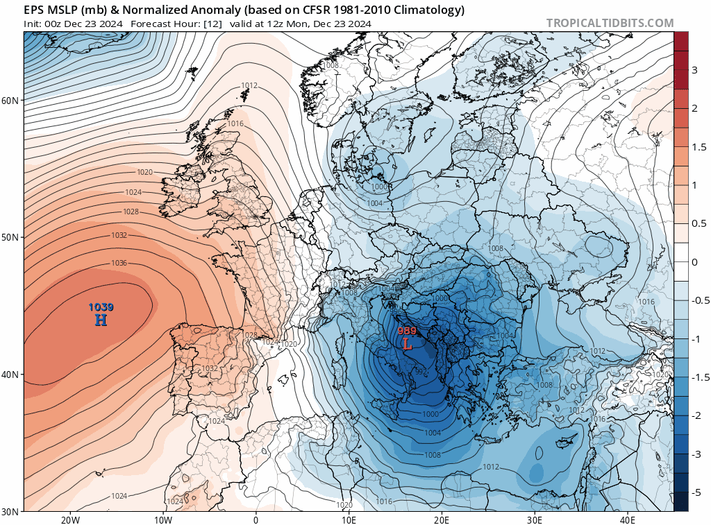 Watch how high pressure builds in from the west across much of Europe this week, though low pressure will affect SE Europe for a time before retreating.
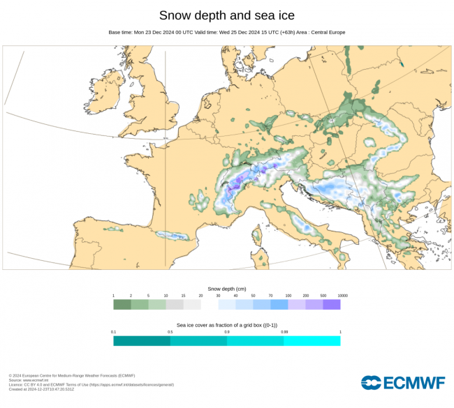
Across central Europe, a strong, cold but moist northwesterly flow has brought a lot of snow over the weekend across the northern and western Alps, with over half of metre of fresh snow falling across parts of the northern French and Swiss Alps as of this morning. Further snowfall is expected here to start the week, with orange warnings in force for snow and ice in alpine areas of France. However, the snow should ease into tomorrow, as high pressure builds in from the west which will bring drier, more settled conditions across much of central and eastern Europe from Tuesday and through the rest of the week. With winds becoming calm here and a high pressure inversion developing, it will remain on the chilly side by day with widespread overnight frost.
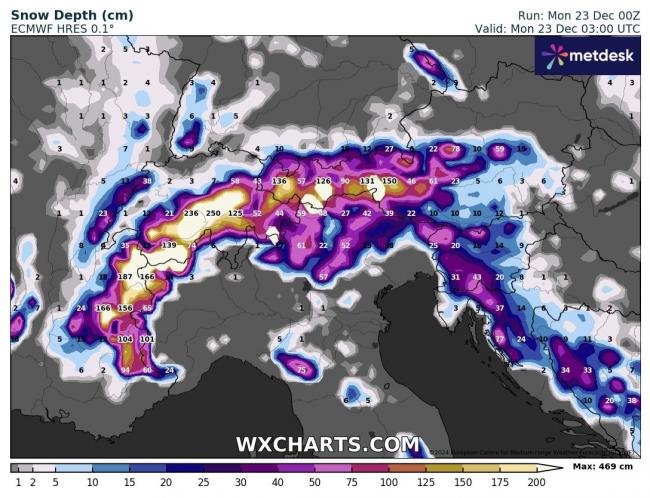
Southeast Europe will be rather unsettled during the first half of this week, as an area of low pressure over the southern Adriatic today drifts southeast over Greece by mid-week and the eastern Mediterranean south of Turkey later in the week. Much of the central and eastern Mediterranean region will be affected by heavy showers, longer spells of rain and on the northern side of the low drifting southeast - snow. Cold air on the northern side of the low meeting moisture from the Mediterranean will bring copious amounts of snowfall across the Balkans early this week, with a metre of snow forecast to fall by Christmas Day across parts of Croatia and Bosnia. Higher parts of Italy will see some snow too.
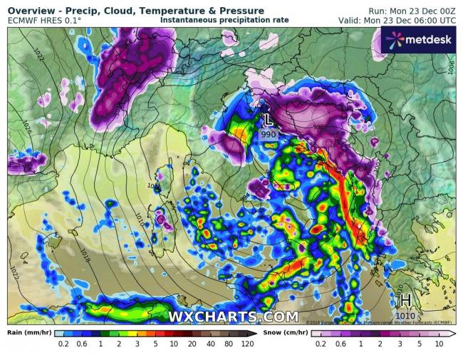
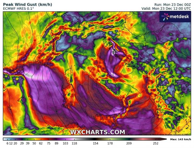
A strong northeasterly wind will also affect the Adriatic and Italy early this week, with a Bora wind causing issues along the eastern Adriatic coast from NE Italy along the coast of Croatia. Also strong northerly Mistral winds across southern/southeastern France and the western Mediterranean. Find out more on these winds in my blog: Europe's Regional Winds: From the Pennines to the Mediterranean.
The wind, showers and snow should ease across SE Europe later in the week and become confined to Greece, Turkey and eastern Mediterranean further south.
Much of Europe dry and settled under the influence of high pressure by the end of the week, just NW Scotland, far SE of Europe and western Norway unsettled. So will the settled conditions last through to the New Year?
Most models and their ensembles suggest there will be a change to more unsettled conditions from the start of next week across northern Europe. The jet stream will be north of Scotland through much of this week, running from NE Canada to the south of Iceland and ploughing into Scandinavia. But the jet stream looks to slip south into next week, bringing low pressure track further south across the North Atlantic across northern Europe. So it could turn more unsettled with spells of rain and wind by New Year’s Eve. But a great deal of uncertainty over the timings of any potential breakdown to unsettled conditions.
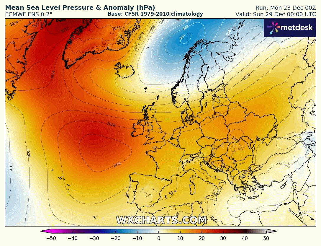
Looking a bit further ahead into the start of the New Year and there has been a signal for a number of model runs now, from operational runs and ensembles, for a lobe of the tropospheric polar vortex to drop southeast towards Scandiavia while blocking high pressure builds to the west over the NW Atlantic. This pattern, if it develops, would usher in colder conditions from the north, with a risk of snow for some. But, it’s a long way off, so a great deal of uncertainty, as models may change the outlook, but we’ll keep you posted if this idea gains any traction as we draw nearer the time.
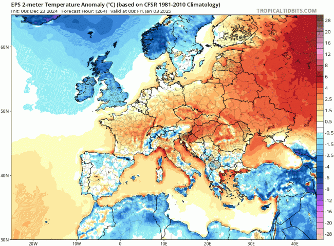
Colder for the start of the New Year?
Loading recent activity...