Some localities across the East and South are still devoid of sunshine this month, with others seeing very little over the past 12 days or so.
Trawling through the records for other extended periods of gloom, one stands out. In December 1968, my station near Nottingham recorded 17 consecutive sunless days between the 2nd and the 18th. At nearby Watnall, 22 sunless days were noted out of a monthly total of just 27 hours. When you consider that Boxing Day and the 27th were both very sunny here, the remainder of that December was depressing, to say the least.
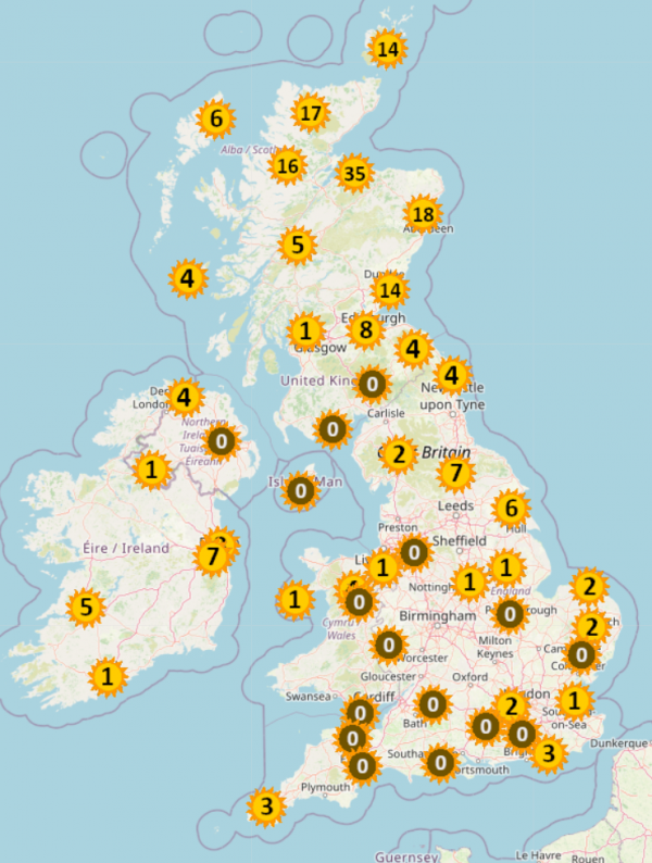 Sunshine amounts so far this month - courtesy of Starlings Roost Weather
Only northern Scotland, where areas have been sheltered by the mountains, has seen any worthwhile sunshine so far this month, but at long last things are about to change. Sunday has already seen some sunshine across Scotland and Northern Ireland as weakening fronts giving patchy rain clear to the South. However, across England and Wales it's the same old story, though here too skies will gradually clear from the North overnight.
As the new working week dawns much brighter, especially in the North, it'll be a chilly start with some rural valleys and glens of Scotland and Northern Ireland seeing a touch of ground frost first thing. But as pressure rises strongly again, any showers will be restricted to the Northern Isles, leaving a mainly dry day with sunny spells. Top temperatures will reach just 7 to 10C in a westerly or north-westerly breeze.
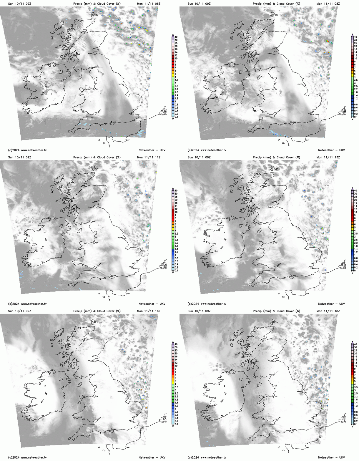
Once residual cloud has cleared from the South, England and Wales will also be much brighter on Monday with some sunshine. A northerly breeze in the East will feel chilly and may bring more cloud towards the coast where the odd light shower is possible. Despite the chill, maximum temperatures of 11 to 13C, locally 14C in the South West, will be somewhat above normal for the time of year.
With a large anticyclone becoming established over Ireland after dark, all parts will turn quite chilly. Across East Anglia and the South East, a north or north-easterly breeze may still bring patchy cloud and the odd light shower, but for most it'll continue dry overnight with clear spells. Light winds will allow a ground frost to develop, with some rural valleys and glens of Scotland and the North seeing an air frost as temperatures fall to -2C in the coldest spots but more generally to between 2 and 5C.
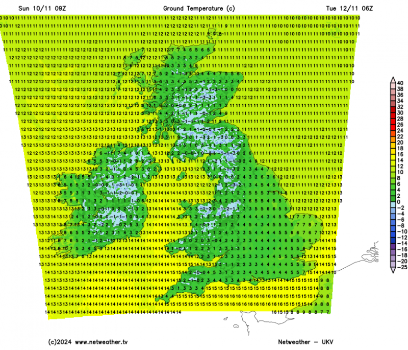
As last week's anticyclone is replaced by another, Tuesday and the remainder of the coming week will continue to be mainly dry. It'll remain chilly wherever skies stay clear at night, with further mostly ground frosts. Later in the week or over next weekend, there's a hint of it turning much colder from the North, when showers across Scottish hills and perhaps as far south as the northern Pennines may well turn wintry, with night frosts becoming more widespread.
Loading recent activity...