A stable weather pattern dominated by continental high pressure begins to give way tomorrow, as Atlantic systems edge eastward bringing increasingly unsettled conditions. Initial changes will affect western areas first, before spreading across the country.
In many ways, today's mainly dry weather will be mirrored tomorrow, but with a couple of meteorological challenges to overcome. The first concerns conditions common at this time of year, namely how long it will take for today's morning mist, fog, and low cloud to eventually lift and clear. The second relates to the extent an advancing front will affect western parts tomorrow.
Apart from a few showers in the South, it's high pressure on the nearby continent that's keeping the weather mainly dry today. This is currently 'blocking' incoming Atlantic systems, but as the anticyclone responsible moves away into central Europe tomorrow, it'll slowly 'open the door' to more unsettled conditions moving in from the West, leading to an unsettled weekend.
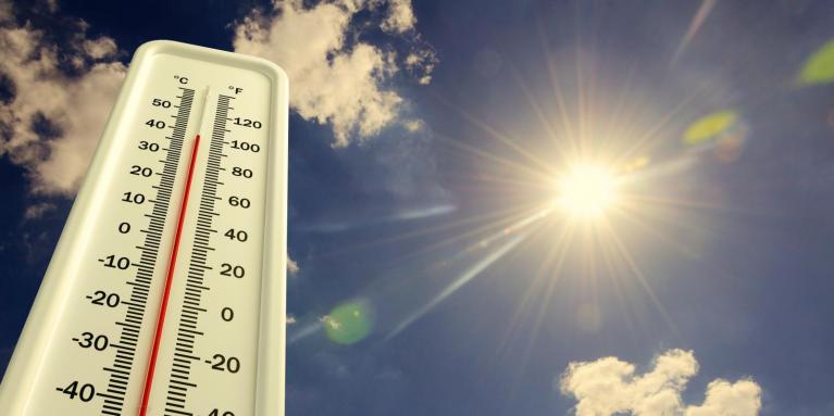
With more of a breeze across central and eastern areas tomorrow, mist, low cloud, and fog should be less of an issue. However, despite the breeze, gloom in some central and eastern areas could still be quite stubborn before finally lifting and clearing. Then, like today, much of England and Wales should stay mainly dry, and it'll feel very pleasant where the sun comes through. Temperatures may reach 16 or 17C, perhaps locally 18C in the best of the sunshine, and more generally 12 to 15C from North to South.
Across Northern Ireland, an increasingly fresh and gusty South or South East wind will bring showers to Tyrone and Fermanagh. Through tomorrow, bursts of rain, some heavy, will work their way slowly eastwards across the province. South Wales and the South West may also see the odd shower later.
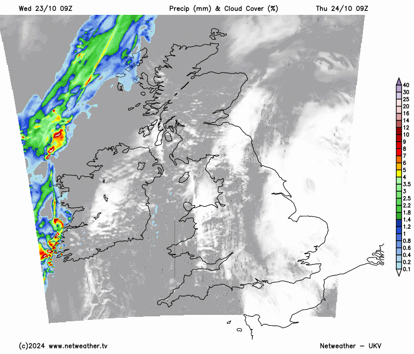
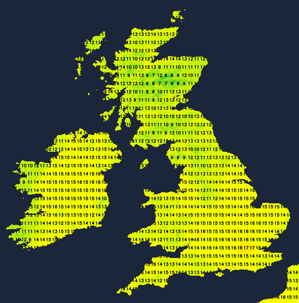
Thursday evening sees further bursts of rain over Northern Ireland that will continue overnight. However, much of Scotland and eastern England should continue to stay dry after dark, with Wales and the West, particularly the South West, seeing some showers moving in overnight. A gusty South East or southerly wind should decrease across Northern Ireland by morning in another mild night, with lowest temperatures mostly in the range of 7 to 11C.
In a mixed, more changeable Friday, most parts will be at risk of catching a shower, with probably fewer of them in the East where some parts may continue to stay dry. But in the West and South West, some of the showers could be heavy, perhaps accompanied by a gusty wind across the Channel Islands.
After perhaps a brief lull, the weekend remains changeable with further Atlantic systems moving in from the West. While there are uncertainties, these will bring further rain or showers, especially in the North and West. It'll also become windy after a somewhat colder interval, although by Sunday it should be turning milder again, with any rain or showers in the East and South tending to be lighter and more patchy generally.
Loading recent activity...