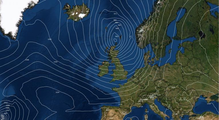
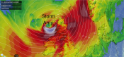
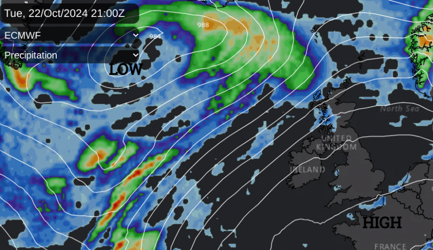
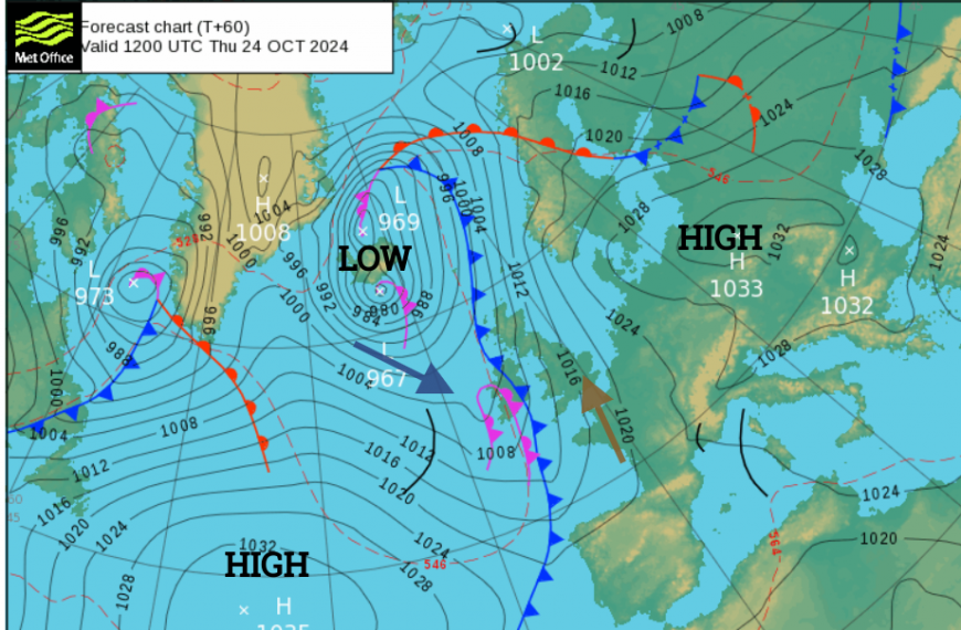
High pressure will move over southern Britain on its way to eastern Europe by Thursday. This means there will be very light winds for southern England and more fog forming overnight, which will linger into the mornings. Low pressure remains to the north, over the Norwegian Sea (what was Storm Ashley), and this keeps blustery conditions over Scotland on Tuesday. A new Atlantic low pressure in the north Atlantic will throw one set of fronts past NW Scotland on Tuesday night but it will take until Thursday night for the main fronts to reach Northern Ireland. The high pressure over Europe will slow down the progress of these active fronts but Friday’s forecast does look mixed with sharp, blustery showers rotating around a low centre and sunshine for some.
The passing high pressure will bring more settled weather for the middle of this week. It won’t be completely dry but signs of a drier, brighter trend before the frontal rain and showers from the Atlantic set in for Friday and Saturday.
Today
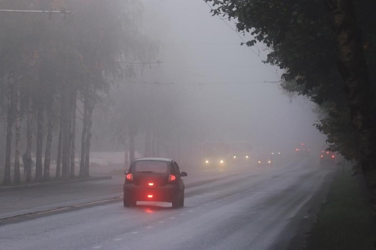
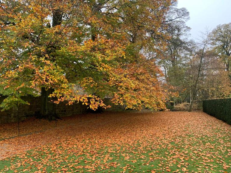
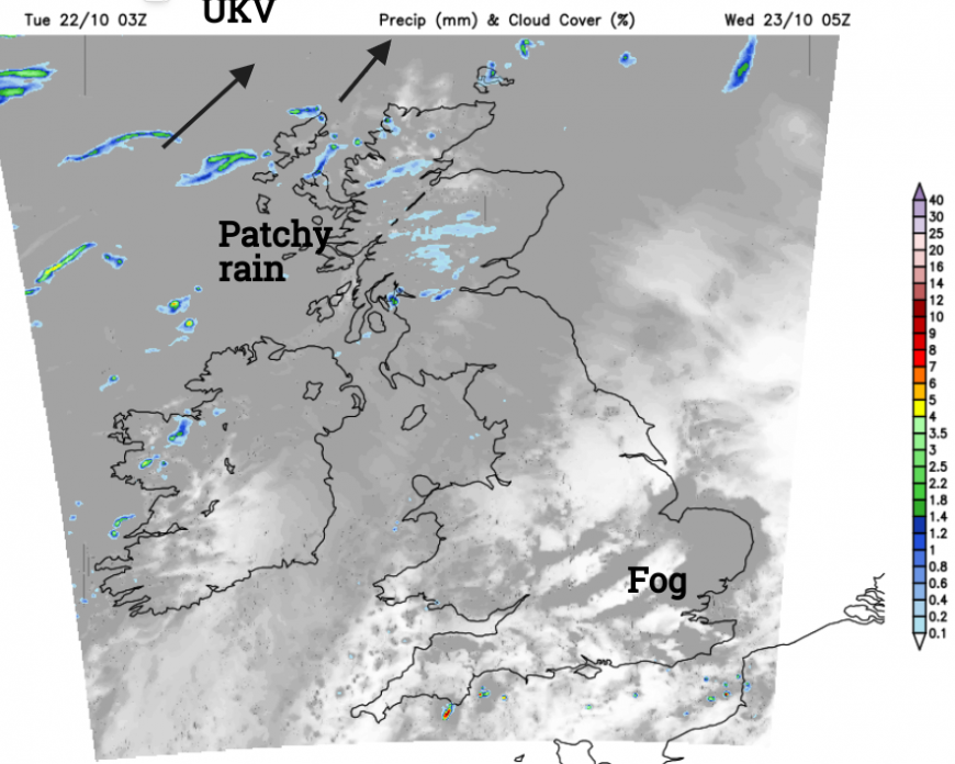
There will be a few showers, particularly for northern Scotland and a scattering over SW and southern England around lunchtime. There will be bright or sunny spells and by this evening much of England and Wales will be calm with clearing skies. It’s not long now until the clocks go back. The nights are getting longer, there has been a nip in the air and there has been plenty of rain so the ground is damp. As any warmth from the day radiates away overnight under clear skies, we often see fog forming at this time of year when the winds fall light.
The use of fog lights
RAC “Fog lights should only be used in the fog when visibility drops below 100m (328 feet) which is roughly the length of a football pitch, this is stated by the Highway Code (rule 226).”
All cars and vans have rear foglights but you should not use them in rain or drizzle as they can dazzle other drivers. Nor when you are parked. And when the fog lifts or thins do turn them off. No one wants to be driving behind that for miles on a motorway.
Away from the calm foggy conditions of SE Britain, the first frontal bands will throw more cloud over Northern Ireland and Scotland with blustery winds and patchy rain.

Wednesday
This lingers into Wednesday but the cloud will break up over the NW Highlands as the westerly wind backs to a southwesterly and then a southerly during the day. Somerset, Dorset and Hampshire will see a scattering of showers brought in on the breeze with a few over southern Britain during the afternoon. It will feel mild with temperatures in London up to 17C.
Wednesday night
Although the winds will remain light for England it will be a milder night in the southerly flow. The high pressure will be edging away as the next Atlantic system creeps in. It will be windy for Northern Ireland and over the hills of Scotland and the Inshore Waters forecast for The Minch mentions “ Wind: backing south 7 to severe gale 9 later. Sea state: Moderate or rough, occasionally very rough later in south.”
Thursday will be fine and bright for much of Britain, even sunny for eastern parts. The southerly breeze will be more noticeable for England than in recent days but still light for London, again up to 17C. Through the Irish Sea, it will be windy with a gusty, moderate southerly for Northern Ireland and Scotland.
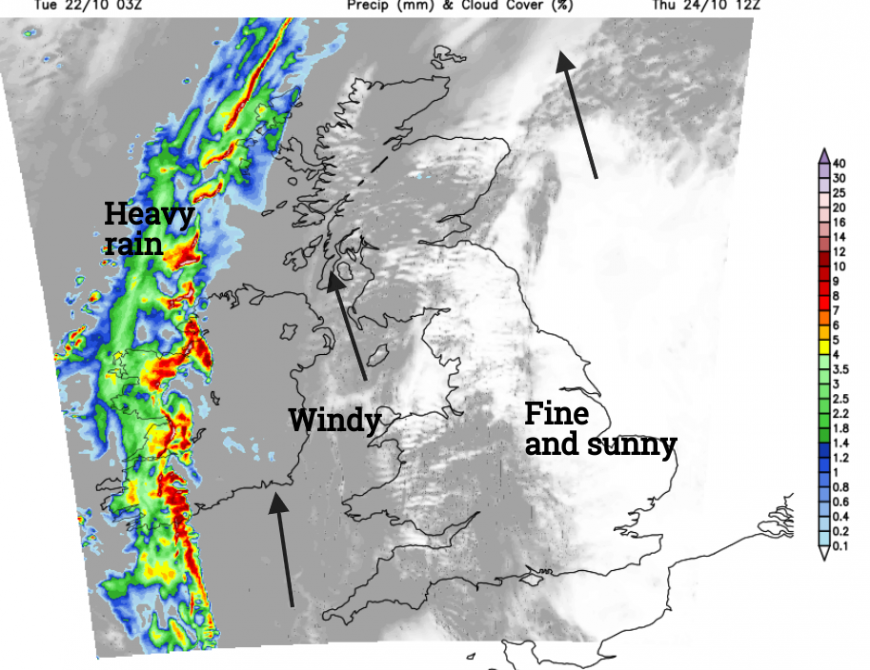
As the cold front edges over Ireland, there will be a significant wind veer, from the mild southerly to a cool N/NW wind. There will be bursts of heavy rain and line convection along this front and its progress to western Britain could be rather erratic by the end of Thursday.
The rainband will break up, throwing areas of heavy rain across Britain during Thursday night but leaving drier gaps followed by clusters of showers.
By Friday there has to be some uncertainty around the details of where will see heavy downpours and where will benefit from the sunnier gaps as low pressure settles over the UK. The cooler northwesterly wind will dig in over Northern Ireland, and western Scotland with gales possible across the Irish Sea by the evening. It looks like a more unsettled end to the working week after a good deal of dry weather and it will feel colder if you are caught in that wind.
Loading recent activity...