There will be fewer showers over the next few days and a warmer drift for our temperatures. Whereas they have been below average with heavy downpours and a cool breeze (sometimes from the north) we should see more bright or sunny spells and temperatures in the south tipping just above average to start the week. As the week progresses more areas should see high teens, low twenties Celsius and even parts of southern Britain reaching 24 or 25C.

A few parts of southern England did see temperatures tip over 20C at the weekend. London Heathrow recorded the top temperature of 22.1C on Sunday. With low pressure centred off eastern Scotland, it was northern Britain seeing most of the heavy downpours. Wales, the Midlands and SW England saw a drier end to the weekend.
The week ahead is still mixed but there is a shift in our temperatures. June has certainly taken its time warming up. Southern Britain will feel warmer for most of the week and more of the UK will notice a warming change on Friday. Wednesday and Thursday look fine and sunny for most. Things to watch out for will be thundery outbreaks over Northern France on Tuesday and early Friday. A blustery end to Wednesday for northern Scotland with rain for Highland and the Islands. A more unsettled Friday with blustery winds and showery outbreaks of rain, but these won’t reach SE Britain until late evening.

For Monday there is the cool flow from the N/NW with a scattering of showers over northern Britain. These clear from SW Scotland and NW England where there will be sunshine this afternoon, but some of the showers will be heavy with thunder possible. Over southern Britain, there will be a lot of fair, dry weather in a light southwesterly wind. Where these two flows converge, there will also be showers. The UKV model showers the scattered band from southern Wales through the Midlands across to Lincolnshire and later the Wash.

The showery flow continues into Tuesday with some lively showers for northern England. A few showers may arrive from the north for Northern Ireland but otherwise, it will be a fair start to the week.
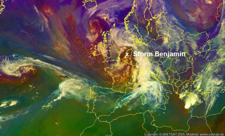
France will see thunderstorms on Tuesday, there is a weather warning out from Meteo France. As one pulse moves over Paris and northern France it could throw rain over SE England, possibly some heavy downpours around lunchtime. There is some uncertainty between the models about the reach of the rain past Kent, so watch for updates. As this moves away to the Benelux countries in the afternoon, the showers over northern Britain will reach the Midlands and focus on NW England coastal counties.

Tuesday night looks nippy for Northern Ireland, northern Scotland and the high ground of northern Britain where skies are clear. High pressure tries to nose in from the Atlantic on Wednesday settling our UK weather down but a frontal band will bring rain to NW Scotland later in the day.

Thursday looks fine with more sunshine and it will feel warmer for many. Things begin to change at either end of Britain by Thursday evening and continue into Friday.

Once again it will be developments over northern France that might need keeping an eye on. During the night, there could be just medium-level cloud bringing big raindrops and lightning strikes or heavier rain from the convective action across the Straits of Dover. Later the showery frontal bands sweep down from Scotland and the cloud and breeze with this will affect the temperatures. Not so warm for many on Friday but Lincolnshire, East Anglia, the Home Counties and London will all still be warm in the low to mid twenties Celsius.

This is a reminder of the UK heatwave definition and thresholds by area, as some media publications are going bananas. The threshold for London is not the same as Edinburgh or Belfast, and the heat needs to be around for three days in a row.
"A heatwave is an extended period of hot weather relative to the expected conditions of the area at that time of year, which may be accompanied by high humidity. "
Definition of a UK heatwave (Met. Office) “a period of at least three consecutive days with daily maximum temperatures meeting or exceeding the heatwave temperature threshold.”
Loading recent activity...