


A brief ridge of high pressure will bring a drier and sunnier respite today, but rain, northern hill snow and gales will sweep northeast through Wednesday. Thursday & Friday windy and showery. Weekend likely seeing another spells of wind and rain, but New Year's Eve evening may turn dry and chilly.
It was officially a White Christmas yesterday, after snow fell across northern Scotland. However, for most, in complete contrast, it was a rather mild, green, grey and damp day. And with a high of 13.6C at Exeter, it was the warmest Christmas Day since 2016.
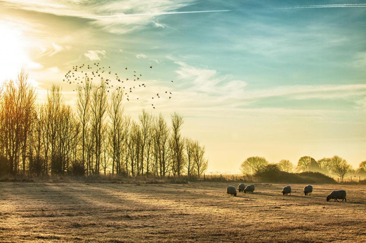
The weather looks to stay generally unsettled through the Festive Period right through to the New Year. But the good news is that yesterday’s weather fronts bringing cloud, rain and snow in the far north will move away to make way for a brief ridge of high pressure to build on Boxing Day, so it will be mostly dry and sunny today after a cold start in the north.
After a drier and sunnier respite today, unsettled rest of the week -with low pressure in charge

But the weather looks to turn rapidly downhill tonight, as the wind strengthens and a frontal system swings northeast off the Atlantic across the British Isles bringing a spell of heavy rain, with hill snow in the north, northeast through Wednesday morning and only clearing late afternoon. Thursday and Friday are looking windy and showery, then over the weekend – a deep low looks to move east across the British Isles, bringing a spell of wet and windy weather. But it does look like it may turn drier and calmer for New Year’s Eve celebrations.
For now, colder and clearer air has moved south across all parts overnight - so it’s a chillier start for many compared to Christmas morning, when temperatures were as high as 12C at dawn. Across Scotland and the far north of England – it’s a frosty start, with a risk of ice on untreated surfaces, following wintry showers overnight. There are still some sleet and snow showers across northern and western Scotland – these should ease through the morning to join most areas to a dry and sunny day with winds easing too. Temperatures closer to average today across England and Wales, compared to well above of the last few days, highs reaching 8-10C, colder for Scotland with 4-6C the highs.
Cloud will thicken across the far SW of England later this afternoon, heralding rain moving in here then Wales, Midlands and southern England during the evening, before all parts bar northern Scotland overnight. Falling as snow over higher ground of northern England and Scotland for a time, mostly above 200m. It will turn increasingly windy too – with coastal gales developing in the west.
A wet and windy day in store for Wednesday, further outbreaks of rain will spread north and east through the day, heavy in places, especially in the north and west and falling as snow above 200m across Scotland and, for a time, across the Pennines and Cumbrian Fells. Could be as much as 10-15cm of snow over higher ground of northern Scotland. Rain and northern hill snow will eventually clear from the west through late afternoon and into the evening, followed by clearer conditions but also blustery showers across the north and west. Gales developing, winds gusting to 40-50mph widely, higher along coasts and over hills, perhaps 60-70mph gusts across northern Scotland. Mild for England, Wales and N. Ireland – with temperatures reaching 11-13C. Colder across Scotland, highs of 6-7C here.


Low pressure will be in charge on Thursday and Friday, with a few low centres crossing northern Britain, bringing a strong southwesterly to westerly wind – which will blow in showers across many areas both days, but with sunny spells between them. Showers most frequent across Scotland, N. Ireland, Wales and western areas of England, showers more occasional towards eastern England. Some of the showers may have a wintry mix falling over higher ground in the north. Temperatures reaching 6-9C in the north, 9-12C in the south.
Some uncertainty over timings and track, but the models currently suggest a fairly deep low tracking east across the British Isles during the weekend, bringing a spell of wind and rain followed by blustery showers. Likely falling as snow over high ground of Scotland and perhaps northern England. Gales around coasts and hills. Some bright and sunny weather with showers either side of the longer spells of rain moving in ahead of the low. Turning colder from the north on New Year’s Eve and hopefully turning drier with winds easing for the evening to welcome in the New Year, though it could be chilly.


.jpg?w=350)


.jpg?w=175)