England and Wales will be mild and cloudy on Thursday, but colder air will spread from the north during the day, even bringing some wintry showers to Scotland and N. Ireland. Remaining chilly on Friday with showers in northern Britain but more in the way of sunshine further south.
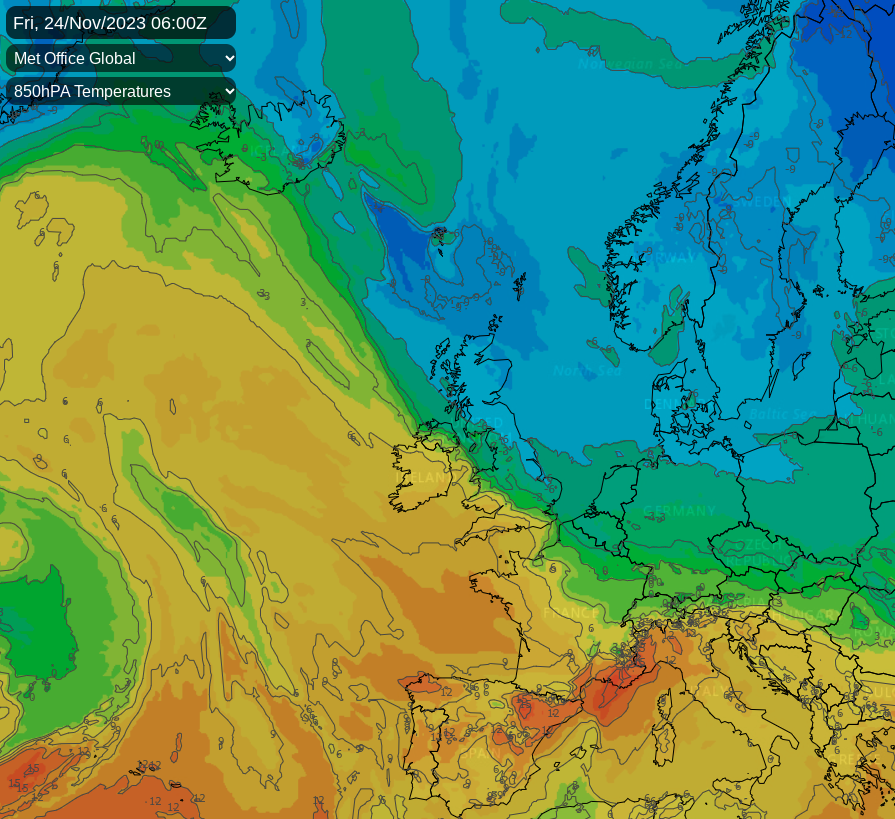
Whenever we encounter blocked or partially blocked weather patterns, models often struggle to adapt. Especially the 14-day models have been facing difficulties, sometimes indicating completely different outcomes. But what I do know is that two of the three closely matched archive years I have been monitoring produced a severe December. This doesn't necessarily mean we are heading towards an early severe winter, especially given our ever-warming climate. Nevertheless, it's definitely food for thought for the coming weeks.
In the meantime, the key question has been how far south Arctic air will reach before being replaced by milder conditions from the west. Despite a significant rise in pressure on Tuesday, the colder air was quickly supplanted by milder weather. It remains to be seen if this pattern will repeat this weekend as another cold front moves southwards from the north today and overnight.
For much of England and Wales, a brisk westerly flow will bring a very mild day. It will often be cloudy, but in the Midlands, East, and South, there will be breaks in the cloud cover, allowing for some sunshine. Conditions will be mainly dry, but a cold front will bring a narrow band of rain to northern England in the afternoon. Despite gusty conditions, with winds reaching 30 to 40 mph in exposed areas, temperatures are expected to be around 12 to 13°C, cooling towards the Scottish borders.
Central and southern Scotland, after a mild and showery start, will soon experience colder weather from the north, spreading to Northern Ireland by the afternoon. Sunny spells will follow, but a cold and blustery west or northwest wind will bring showers. These will be most frequent in northern and northeast Scotland, turning to sleet or snow over the mountains. Conditions may also become wintry at lower levels later across the Northern Isles, where gales are expected. Temperatures here will not exceed 6°C, feeling more like 2 to 3°C elsewhere, with highs of 7 to 9°C.
As the evening approaches, the colder air will spread to all areas except the far southwest, possibly preceded by some rain or drizzle. Clear spells are expected, but coastal areas exposed to the west and north, particularly in northern and eastern Scotland, will experience showers. Snow is expected over the Cairngorm and Grampian mountains, with lower-level wintry showers across the Northern Isles. A harsh northwesterly wind will continue, bringing gale-force gusts. By morning, frost is likely in sheltered parts of the north, with temperatures ranging from zero to 6°C.
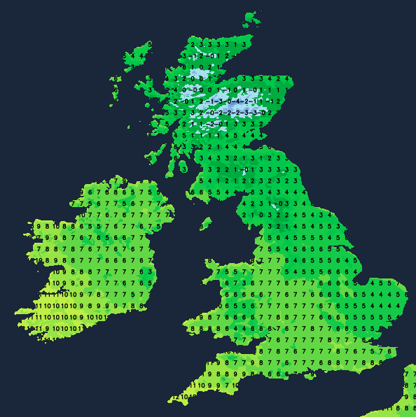
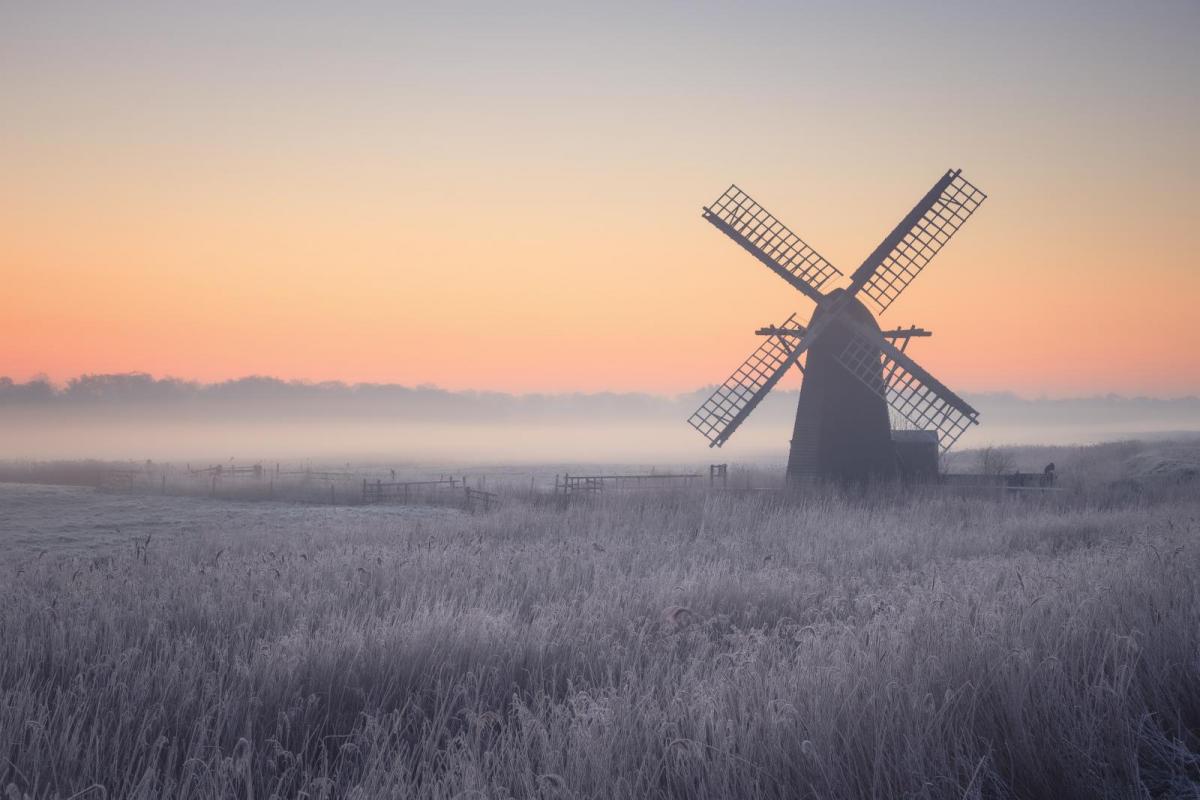
Friday will be brighter with sunny spells, but it will feel cold due to a persistent blustery northwest wind, especially in the north and east. This region will see most of the showers, which will turn to snow on the Scottish hills. They may also become wintry further south, as far as the North York Moors, with a few rain showers passing through the Cheshire Gap into parts of the West Midlands. Elsewhere, the weather should be mainly dry with plenty of sunshine, but this will do little to alleviate the raw conditions. Temperatures will peak at 3 to 4°C in the far north and 7 to 10°C further south.
After dark, eastern counties will continue to experience a few showers in the biting northwest wind, but most areas will become dry with clear spells and lighter breezes. This will lead to widespread frost, possibly clearing from Northern Ireland later as cloud cover moves in.