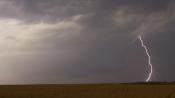
More thunderstorms are in the forecast for the UK this weekend, and that threat is likely to continue into next week as low pressure stays close by.
Thunderstorms were widespread in Britain last weekend, and after a relatively quiet spell with plenty of dry, sunny weather, it looks probable that thunderstorms will again be widespread this weekend. With winds coming from more of a southerly, rather than easterly or south-easterly, direction, the distribution of thunderstorms may be quite different from what we saw last weekend.
Thunderstorms have also been making headlines in the USA recently. A severe thunderstorm warning was issued yesterday for parts of the USA, particularly the southeast, where hail the size of baseballs was reported in central Arkansas. Warnings of a dangerous heatwave from Texas to Florida have also been issued, with people advised to limit time spent outdoors. On Thursday evening, a damaging tornado moved through Perryton in North Texas, killing three people and injuring many others. There are suggestions that Tornado Alley may be widening and extending into the southeast of the US.
As is often the case, Britain's weather is forecast to be tame in comparison to parts of North America, but heat and thunderstorms are strongly in the forecast for this weekend as well.
A storm forecast has been issued for today.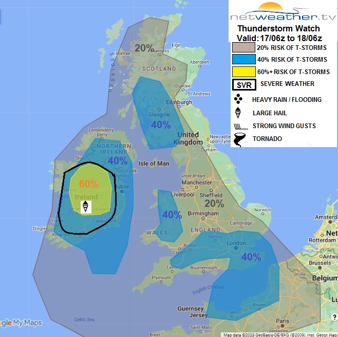
Many areas have already dawned cloudier than of late, with some rain moving north over the Midlands, Northern Ireland, and southwest Scotland. During the rest of today, these areas of rain are expected to slowly fizzle out as they move north, although some showers and thunderstorms will break out during the afternoon in Northern Ireland and northwest Scotland. To the south of these rain areas, it will brighten up during the afternoon. This is expected to spark off some showers and thunderstorms in England and Wales during the afternoon and evening, which will push northwards through the Midlands, south, and into the north of England towards midnight. There is also a chance of some thunderstorms heading into southeast England from France. Some places, however, will stay dry.
With generally cloudier weather, it will be less hot than recently in most parts of the country, with temperatures generally in the low to mid-20s Celsius. Northern Scotland and southern England are forecast to be the warmest regions, where many places will see highs of around 25 or 26C.
Thunderstorms are expected to be more widespread and intense tomorrow, particularly in the Midlands and in the north and east of England. During the evening, these will push into Scotland. Sunday evening and Sunday night into Monday have the potential to be wet in many areas of the country, ending a long dry spell at many locations. Scotland and Northern Ireland will be mostly dry with sunny spells and a scattering of showers before the rain and thunderstorms move into southern Scotland in the evening. Temperatures will mostly reach around 20 to 22C in Scotland and Northern Ireland, but it will be another hot one in most parts of central and eastern England, with temperatures in the high 20s Celsius, probably peaking at around 28C in parts of Yorkshire and Lincolnshire.
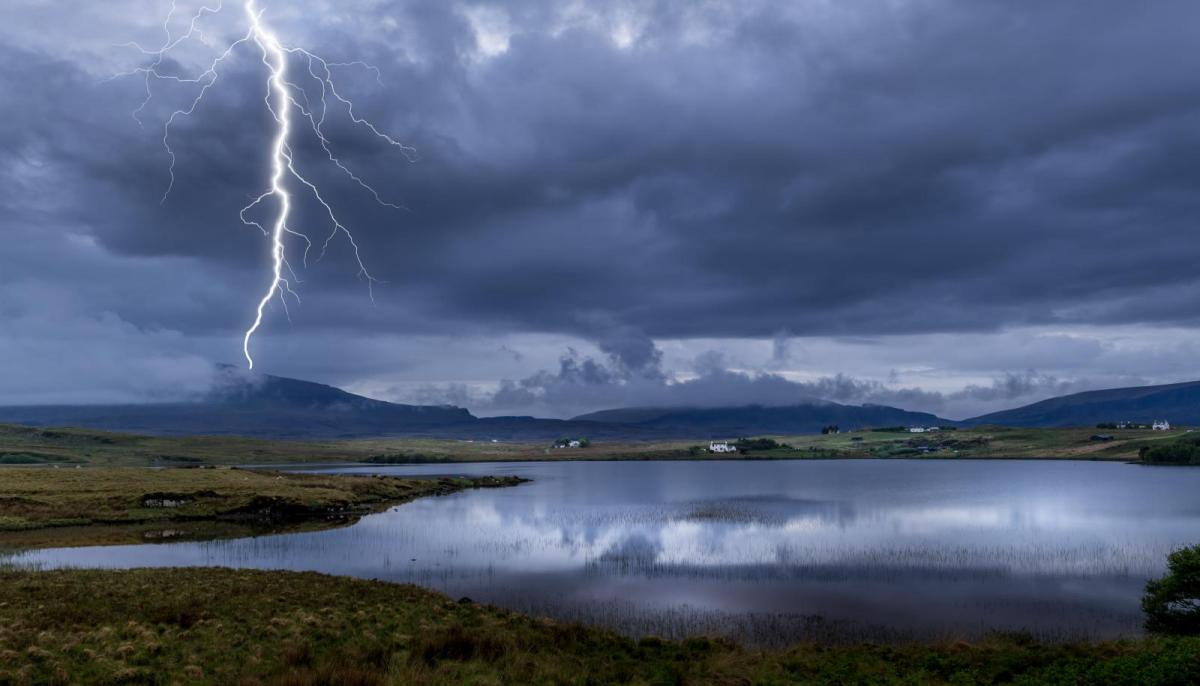
Temperatures will cool off next week, though they will remain above average for the time of year, generally peaking in the low to mid-20s Celsius in eastern and central England. With shallow low pressure generally close to the UK, we are expecting further showers and thunderstorms for much of the country until Thursday. Even though it will generally be cloudier than recently, there will still be plenty of sunshine for much of the time too. Tuesday evening looks particularly likely to see some organised rain and thunderstorms heading northwards, most likely through eastern parts of England. For the long term, it looks probable that we will move into more of a westerly regime towards the end of June, which is quite common at this time of year. However, it is set to remain mostly on the warm side, particularly in eastern Britain, with winds often blowing from the southwest.


.jpg?w=350)


.jpg?w=175)