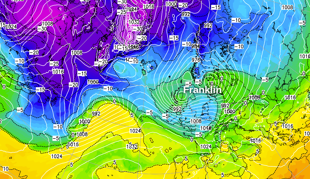
If you're hoping for a prolonged change back to more benign weather during the week ahead, unfortunately, that's not going to be the case. The jet stream is going to stay strong and over the UK virtually throughout, sending more low pressure systems our way, keeping the weather very unsettled, with more bouts of rain (with snow at times in the north) and strong winds. This morning, the low pressure moving in overnight and into the start of Monday has been named by the Met Office as Storm Franklin. More on this below.
We've seen a warm front move through overnight, so it's been a mild start to the day. But, hot on its heels is a cold front, which will move southeast through the day, bringing a band of heavy, squally rain with it and re-introducing colder temperatures. Strong winds will again be a feature today, with a Met Office yellow warning issued for much of England and Wales, Northern Ireland and the southwest of Scotland. Gales are likely, even inland, especially as the cold front moves through. It's near the coasts where the winds will be at their strongest, though, especially in the West and south, with severe gales possible.
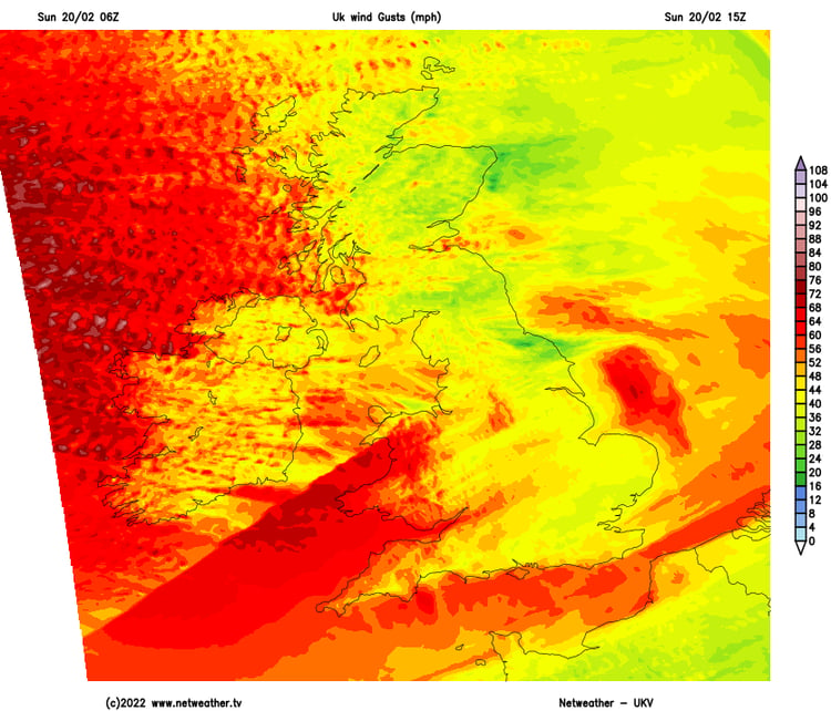
Later this evening and overnight, a small area of low pressure will sink southeast through Scotland and out into the North Sea during the early hours. This is Storm Franklin, with an amber warning recently issued for Northern Ireland.
Franklin is going to do two things. It'll pep up the shower activity across Scotland and Northern England, with snow accumulating over the high ground in particular. It's also going to tighten the isobars and re-strengthen the winds again, with coastal areas of Northwest England, Western Scotland, Northern Ireland and North Wales potentially seeing gusts in excess of 70mph for a time. Inland across England and Wales, 50-65mph gusts are also likely.
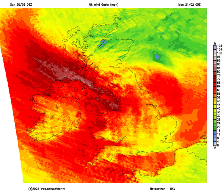
Franklin will move away as we head through Monday, with both the showers and the winds easing. A (very) brief ridge of higher pressure will move in from the West during the day so that by the afternoon, there'll just be a few showers in the east and a good deal of sunshine elsewhere. Cloud will already be thickening in western parts, though, and rain will reach Ireland by evening as the next system approaches.
On Monday, a warm front will move through from the West, bringing patchy rain (with snow on the Scottish mountains) and increasingly mild temperatures. So, on Tuesday morning, many of us will wake to quite damp, murky conditions. But, already at that stage, a cold front will be making its move from down from the northwest, bringing another line of heavy, squally rain with it. It'll make relatively quick progress southeast across the country, too, clearing by the end of the day, with showers (most frequent in northern and western parts), sunny spells and a cooler feel behind it. The winds will be gusty along the front as it moves through and will generally be blustery through the day - with gales possible in the north and West.
Wednesday will bring another Atlantic low onto the scene, moving towards Scotland. That's going to throw another band of rain across the country and increase the winds, especially in the north and West. The low is likely to be nearby to the north of the country on Thursday, bringing a day of sunny spells and blustery, squally showers - falling as snow in places, especially over the high ground and most particularly across Northern Britain.
The tail end of the week may bring a brief calmer interlude, but the next low isn't likely to be far away, with the north of the UK most likely to see the wetter, windier weather once it arrives.
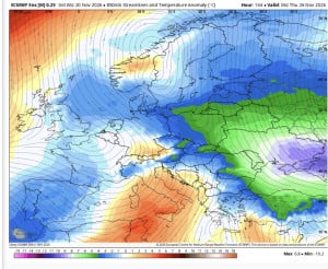
5 minutes ago, bluearmy said: Eps 06z mean has managed to extend the block a little further sw and backs the trough south of the uk with a continental flow which drops surface temps by a degree relative to previous runs 6 minutes ago, bluearmy...
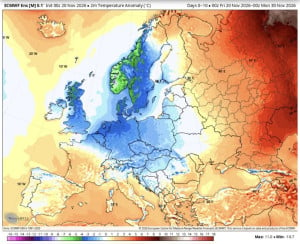
39 minutes ago, Frigid said: It's looking likely that this November will be colder than the past three Decembers, being our first colder than average month since Jan 2025. Shows we can still get appreciably cold conditions out of nowhere. It's...
Eps 06z mean has managed to extend the block a little further sw and backs the trough south of the uk with a continental flow which drops surface temps by a degree relative to previous runs

Nice frozen morning here temps down to -4.9C lower field. Ground rock solid now and no mud hurrah.
7 minutes ago, frederiksen90 said: I cannot recall such an exciting start to the winter season. It's not Winter yet!...you wait til' we get to the 'proper' months, they'll be nothing but disappointment - all too early.
Not bad today. However, tonight is not looking like being as cold as originally forecast, with minimums not even getting to freezing for my location!