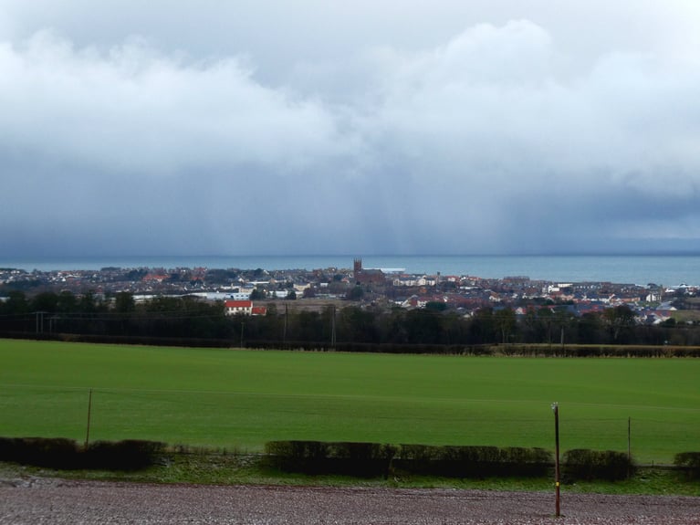
Finally, we have some fronts to mix up the steady, often gloomy January weather. The high pressure which has kept most of the UK under settled conditions doesn’t disappear completely. It lurks to the south or southwest and will manage to influence southern Britain into next week. Further north, it all becoming more mobile and active. So windy with rain from the Atlantic. Changes in temperature; mild one day then a colder plunge the next. No sign of proper snow but at least this dull cloud will shift.
This morning parts of the Midlands are hovering around zero, still with that cold dampness in the air. Yesterday in the East Midlands the top temperature was only 3.3C at Sutton Bonnington. For the West Midlands, only 4.1C at Hereford and across Yorkshire, Sheffield was tops with 4.6C. Northern Scotland was feeling positively tropical in comparison with 10.2C at Kinloss, Moray.
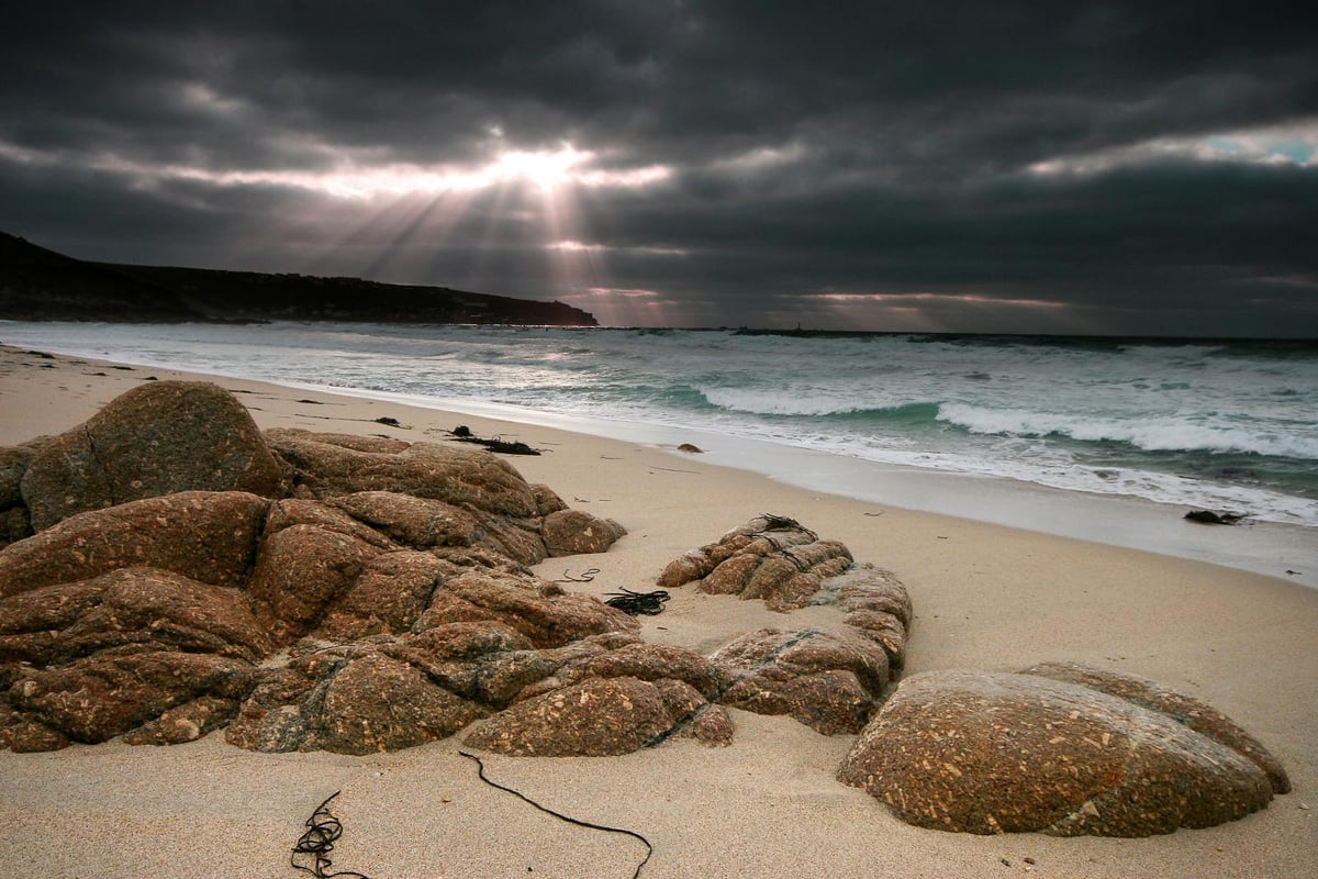
Again there have been some incredible sunsets and sunrise views, for those with some breaks in the clouds.
The high pressure remains over southern England today keeping the weather quiet and steady. Temperatures will be lifting, back into double figures by day this week. There should be more brightness, even sunny spells today and as the light westly breeze picks up over Wales, the Midlands and eastern England this should help shift the lingering gloom today. Further north in Britain and for Northern Ireland, there will be a freshening SW wind. Becoming strong for the far NW of Scotland including the Islands. Frontal rain also arrives.
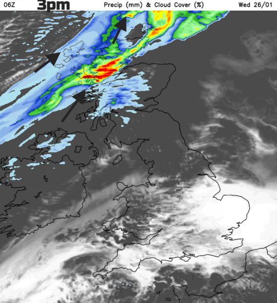
The centre of the low continues to deepen tonight as it slides eastwards towards Norway. The cold front moves south over the UK, bringing rain this evening to more of Scotland and also Northern Ireland. There will be a change from this afternoon’s milder air in the brief warm sector to colder air by Thursday morning. The NW breeze will make it feel nippy over northern areas but mild in the south.
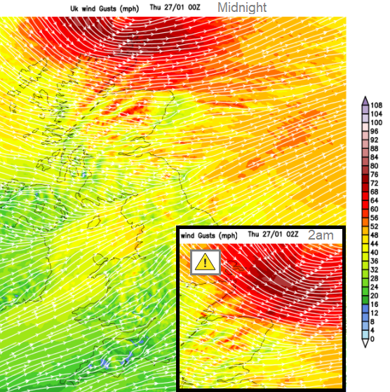
It will be windy in the north tonight. There is a yellow wind warning for the small hours.
Wind warning for tonight
“Very strong winds may cause some disruption during Wednesday night. Orkney, Fair Isle and Caithness.” Met Office
As most people will be in bed that should lessen the impacts but still something to prepare for, even if it just securing the bins. Also worth taking note that a warning has been issued for the middle of the night, for a short time it will be wild with gusts over 70mph from the west then northwest.
The inshore waters forecast for Orkney shows
Wind - Westerly or southwesterly 4 to 6 increasing 7 to severe gale 9, occasionally storm 10 in north, veering northwesterly 6 to gale 8 later.
Sea State- Very rough or high to the west and north of Orkney, mainly moderate or rough elsewhere.
For Shetland, Wind- Westerly backing southwesterly 6 to gale 8, occasionally 5 at first, veering northwesterly 7 to severe gale 9 later, perhaps storm 10 later in south.
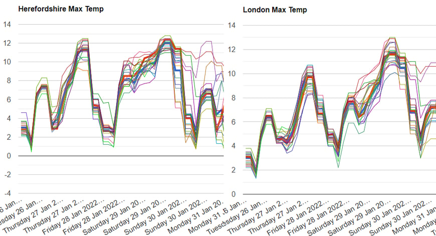
A shift in temperatures. From the ongoing southern cold, we can see daytime maximums rising into double figures, but still abrupt changes
This low and its cold front will bring clearer skies for Thursday morning from the north, with lovely sunshine. There will be some early rain for western areas further south as the front pulls down to the English Channel and the skies clear here. What a change. Milder air into Saturday then colder air for Sunday. Further windy pulses, particularly in the north and perhaps snow for the Scottish mountains at the weekend. The ECMWF model is keen on a deep low for Sunday in the north which will bring stronger winds, rain and possibly wintry showers from the NW by Monday. Lots of uncertainty there but at least it’s not just endless grey skies.
46 minutes ago, BLAST FROM THE PAST said: No it isn’t. There’s only been an increase in sunspot numbers, no major flares etc. Just an uptick on an ongoing ‘ahead of schedule’ decline. No issue on my side BFTP I was talking about activity, not...
30 minutes ago, offerman said: Lots of storms 10 miles away from frome It’s certainly an active evening. Would have been some good structure visible in daytime. Most of the day was bright/sunny.
7 minutes ago, *Stormforce~beka* said: Ah ok I'll have to try it again nothing was coming up when hovering. I'll try hovering longer 😂 I thought you ladies were used to hovering Bek! 🤣

30 minutes ago, Dennis said: Kthere is heading in a new Polarvortex warming There is a fault on that weatheriscool chart ens chart Dennis We are seeing a trend towards the zonal wind not punching very strongly through 30m/s. So even if flow does...
Based on the plume, there is quite some certainty between now and next Wednesday, so 7 days. But small upstream changes can have a big effect. Nevertheless the trend is bad based on the latest EC and EPS. On the other hand: when the more reliable...
1 hour ago, Paul_1978 said: On a laptop, hover over name, from the popup choose Ignore. (Used it a lot myself!!) Ah ok I'll have to try it again nothing was coming up when hovering. I'll try hovering longer 😂