The persistent rain from Saturday has cleared to leave sunny spells, showers and warmer temperatures than of late today (Sunday). Thundery rain is likely in the southeast later and then the theme of sun and showers continues into next week.
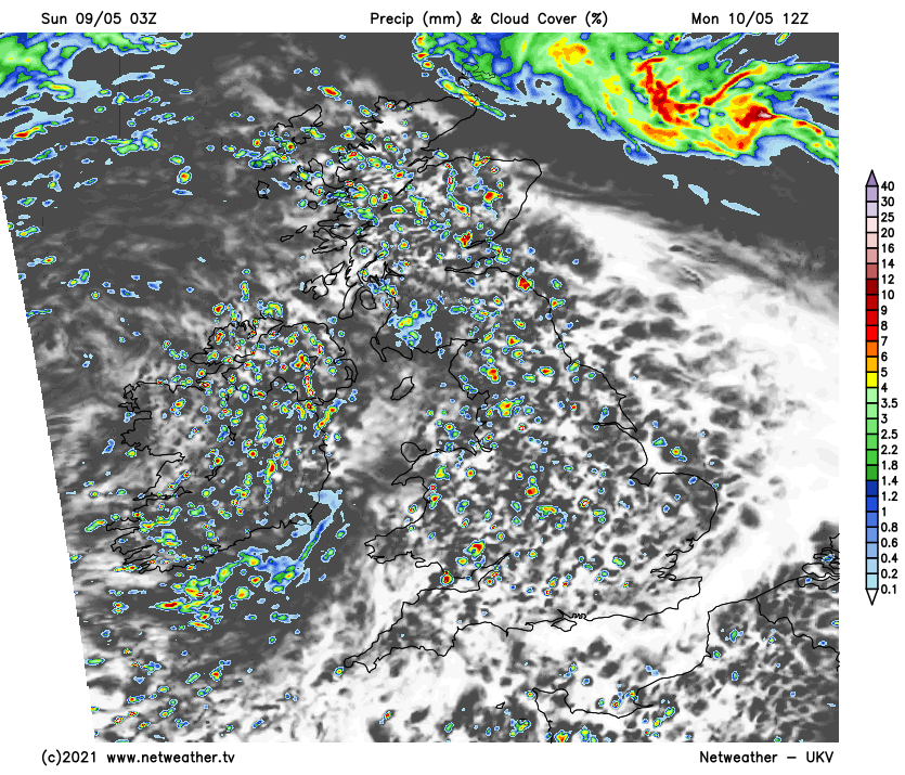
As this crazy spring continues, we’ve gone from one extreme to another, with an April drought followed by a May soaking. So plenty is happening on the weather front at the moment, as an Atlantic depression becomes slow-moving to the West of Ireland. This’ll fill a little over the next few days, becoming a complex feature over the country, giving all of us an unsettled week to come, but at least it’ll be milder, even warm today in the East and South East.
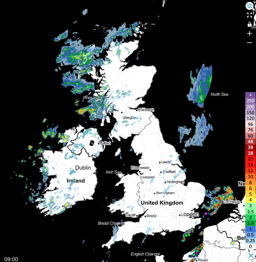
Yesterday’s heavy rain still lingers across the Northern Isles, where it’ll be cold and grey in a raw and gusty North East wind. A slow-moving front across the South West, Midlands and North East England is giving cloud and showers that'll become lighter and patchy through the day. There'll be sunny intervals to the West of the front and scattered showers, with some across Northern Ireland and the North and West of Scotland heavy and lengthy, giving hail and thunder accompanied by a strong and gusty southerly wind. To the east of the front, it's a mainly dry start with some sunshine over East Anglia in quite humid air. But we have had a few heavy showers and thunderstorms across Kent that'll clear into the North Sea through the morning to leave just a few showers.
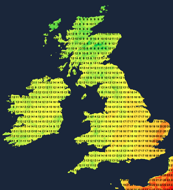
After a very mild night for a change across all but the far North, it’ll feel more ‘spring-like’ in a southerly wind. Across East Anglia and the South East, temperatures will reach a warm 19 to 21C, possibly 22C, which could trigger a few sharp showers later. But for most, 14 to 18C is more likely, with the Northern Isles probably getting no higher than 6 to 8C.
Scattered showers continue into the evening, with some heavy ones towards East Anglia and the South East, where a few thunderstorms could occur. These'll rumble on after dark towards Norfolk and Suffolk before finally clearing overnight.
The far North continues to see outbreaks of rain heavy in places, as could Northern Ireland, while the showers elsewhere become mostly confined to the West and coasts exposed to a gusty southerly wind overnight. This'll allow skies to break sufficiently to give a few clear intervals in a relatively mild night, with minimum temperatures mostly in the range 7 to 11C.
The far North may continue to see outbreaks of rain on Monday, with our resident depression still just to the West of Ireland continuing to ‘feed’ mild southerly winds across the country. These'll bring a mixture of sunny intervals and showers for the start of the new working week, after a fine start with some sunshine in places. Some of the showers will be heavy by the afternoon, especially in the West and South and probably lengthy again across Northern Ireland, giving thunder and perhaps hail. But such is the nature of showers that a few places may miss them, but you’ll be lucky if you do so.
Despite the showers, top temperatures between 14 and 18C will be close to normal for the time of year but slightly down on Sunday's values across East Anglia and the South East.
The evening sees sunny intervals but a further scattering of showers, some heavy at first. After dark, the showers become mostly confined to the West and to coasts exposed to a southerly wind again, allowing clear intervals to develop. A few mist patches could form briefly around dawn in some sheltered rural 'hollows' where it may turn a little chilly not but it’s not expected to be a cold night, with minimum temperatures mostly in the range of 6 to 10C.