April is turning out be an exceptionally dry month across the UK, with barely a drop of rain in many areas so far, thanks to high pressure dominating the weather and keeping rain bearing fronts and April showers at bay. While the month has been colder than average too so far, and will probably end up so by the end of the month, even though days are getting warmer, edging the rolling average up slowly, but still nights are cold with frosts.

April maybe famous for its showers, but it’s not normally a particularly wet month against other months of the year. In fact it is often one of the drier months of the year for most parts of Britain. There are examples going back over the years of Aprils which were completely rainless over large parts of Britain. 2011 and 2007 the most recent examples of very dry Aprils, with just 21% and 18%, respectively, of the average rainfall. In 1984 April was particularly dry, with no measurable rain across large areas of southern England. 1980 April was the driest on record across North Wales and NW England, only 0.9mm fell in Manchester that month.
The exceptionally dry weather so far this month is pretty much UK-wide, with on average, just 10% of the normal rainfall. While England and Wales average rainfall is only 5mm so far, the record is 7.1mm in April 1938. So if little or no rain falls for the rest of the month, we may beat the record.
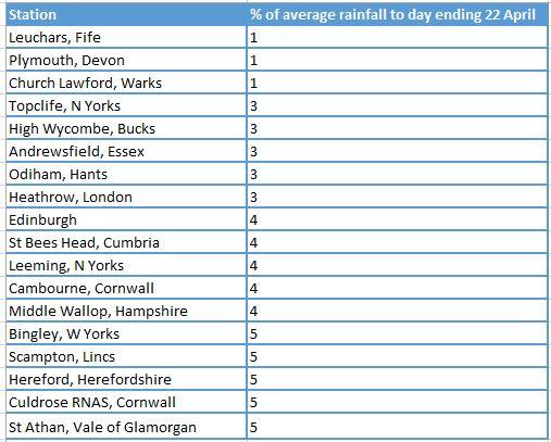
Some official weather stations as far apart as Topcliffe in North Yorkshire, Andrewsfield in Essex and Heathrow in London have seen just 3% of the rolling average rainfall, while Leuchars on the east coast of Scotland and Plymouth in Devon has seen only 1%!
Stations recording 5mm or less rainfall up to the 22nd April 2021
 Source of rainfall data here
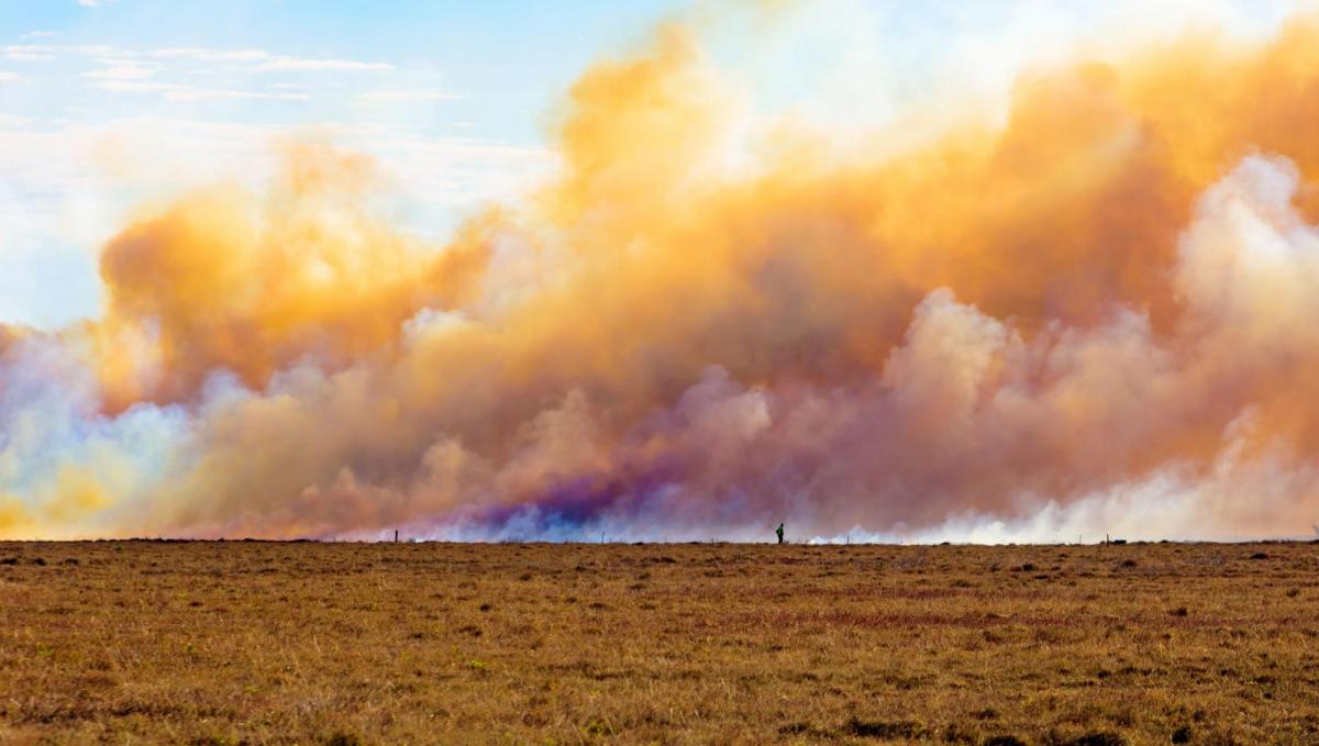
The increasingly dry conditions over recent weeks means there is a higher than normal risk of wildfires breaking out in some open areas of the country. Strong winds exacerbating the spread of any fires that do break out. The next few days models forecast that there will be a strong easterly wind across southern counties of England, particularly in the southwest, which may fan and spread rapidly and fires that break out.
There are warnings of the high fire risk on open moorland or heathland, advising people not light barbecues or fires, not to discard cigarettes or glass in the open countryside.
Unusually, the month so far is colder than March too, with nights particularly cold. There has been twice or three times the average of air frosts in some locations. The rolling provisional Central England Temperature (CET) is 6.3C up to the 21st, March CET was 7.2C. 2012 was the last time April was colder than March.
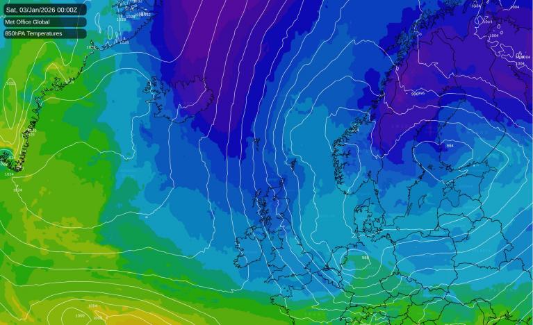
Looking at current model output, we may see some outbreaks of rain move down from the north early next week, but before then, it’s looking dry for virtually the whole of the UK. There are signs of perhaps a change to more unsettled conditions from mid-week next week and into the early May Bank Holiday, as high pressure retreats and low pressure tries to push in from the south and/or northwest but at this range confidence is low for now.
Loading recent activity...