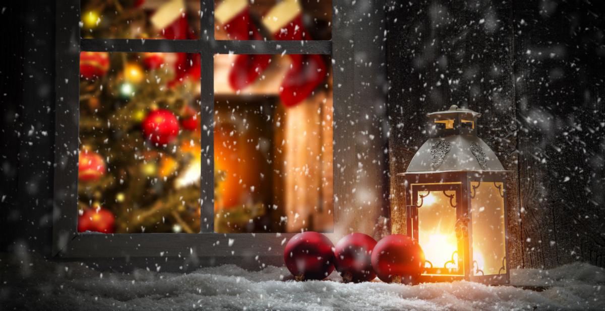
The tradition of a White Christmas as depicted on Christmas card scenes and Festive TV adverts owes more to Charles Dickens, who depicted snowy scenes of the festive period in his stories and Dutch painters of the 17th and 18th centuries, than it does to reality of Christmas weather in the modern era.
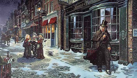
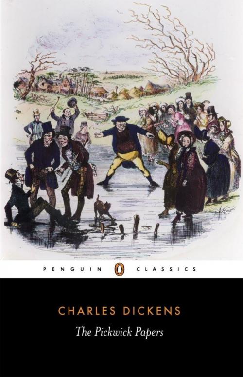
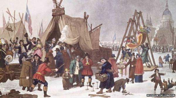
Charles Dickens grew up during a particularly cold Georgian period in the early 1800s, he was born in 1812 during the coldest decade since the late 1600s. In fact, the period 1550-1850 Britain was in the grip of a colder climate, known as the ‘Little Ice Age’ when winters were particularly persistent and severe. In Charles Dicken’s early years, the River Thames froze in 1814, London celebrated its final Thames frost fair that year – with tents set up on the ice and an elephant led across the river, showing how particularly cold it was in winters then. His childhood memories of winter likely had a big impression on his novels and short stories, such as The Pickwick Papers & A Christmas Carol.
In the last century, a white Christmas has been the exception rather than the rule. But the bookmakers have seized on the white Christmas tradition to make money on the fact it’s fairly unusual for large parts of the UK to see snow on the big day. Cold and snowy weather is much more likely statiscally in January, February and even March. For some parts of the UK, a white Easter is more likely than a white Christmas, especially if Easter falls in March, but there have been some white Easters in early April too.
However, the bookmakers have a rather bizarre requirement to pay out for a white Christmas. The definition widely used for placing bets is for a single snow flake, even if it’s mixed in with rain or sleet on a grey rainy day with no snow on the ground. But a cold dry day with snow on the ground but no snow falling in the 24 hours of the 25th of December doesn’t count.
The chances of a white Christmas also depends on where you live in the UK. The further north one is increases chances of a white Christmas, as does elevation. Chances of a white Christmas are 1/10 in southern England to 1/4 in the north.
Technically 2017 was the last white Christmas, with 17% of stations recording snow falling, but none reporting snow on the ground. There was no recorded snow falling in 2018 or 2019. The most recent white Christmas, in the traditional sense, with both snow on the ground and falling was in 2010. It was unusual in that there was snow on the ground at 83% of weather stations, but also snow or sleet fell at 19% of stations. The UK also saw a white Christmas in 2009, when there was snow on the ground at 57% of stations, while snow or sleet was recorded falling at 13% of stations.
Prior to 2009, parts of the north and west saw a traditional white Christmas with snow on the ground and falling in 2004 with Scotland, N. Ireland, NW England and north Wales waking up to several centimetres of snow – with snow showers affecting eastern coastal districts too.
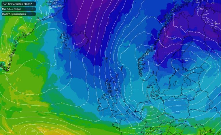
So what are the prospects for this Christmas? 9 days is a long way away in weather forecasting to forecast with any accuracy on what the weather will be like on the 25th. But, there is broad agreement showing by the weather models at the moment on a more seasonal flavour to the weather, turning colder for Christmas. And, with the flow looking to be from the north or northwest, there may even be some snow falling or even settling in places. Though this, for now, looks mostly likely for higher ground in the north, though perhaps at lower levels at night in the north too. There is a lower probability that parts of the south could catch at wintry shower with some snow mixed too, but too far off to have confidence in this.
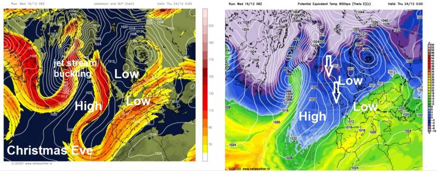
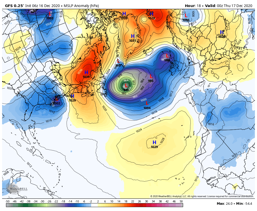
The change to colder conditions next week looks to be brought about by a combination of the jet stream buckling upstream over the Atlantic in the wake of a low pressure system moving east across the Atlantic and into northwest Europe, by mid-week next week. The same low pressure system can be traced to back to a winter storm affecting the eastern seaboard of the U.S.A later today and tomorrow - before the storm crosses the Atlantic over the weekend and early next week and arriving over the UK or France by mid-week.
As this low clears east on Thursday and the jet stream buckles to the west following the low around Christmas Eve, a cold northerly flow sourced from the arctic looks to bring a cold Christmas Day, with some wintry showers affecting northern, western and eastern coasts, perhaps a few showers getting inland too, especially further north, snow likely over northern hills, but too far off to say whether it'll be cold enough for snow at lower levels. What's more certain is that clearing skies overnight will lead to a widespread frost, perhaps early Christmas morning, so maybe more white from frost than snow for most. But too far off to be specific of snow risk for a good few days yet.
Loading recent activity...