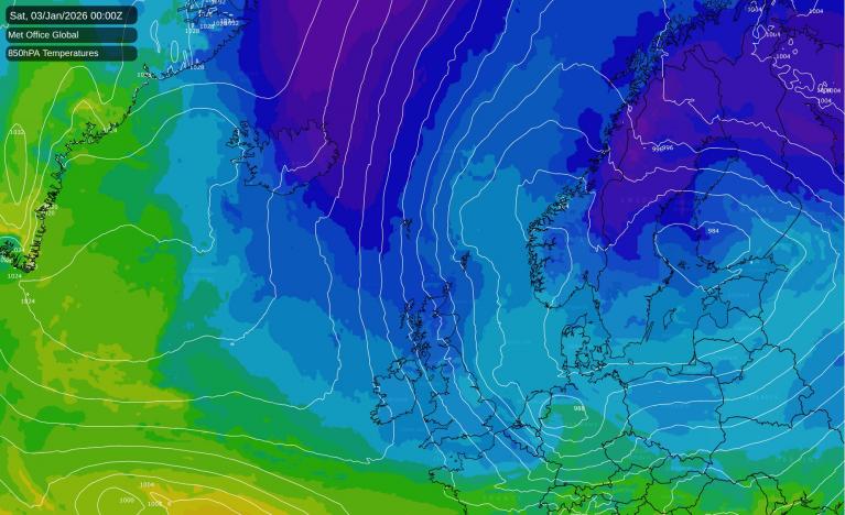
After consecutive above average months temperature wise since the beginning of the year, July so far has been a little cooler than average, currently some 0.7C cooler the 1971-2000 average for the Central England Temperature on the Netweather tracker. During the first half of the month, average maximum temperatures were between 1-3C below the 1981-2010 average.
Last Friday saw the warmest day so far this July, with 28.5C recorded at Heathrow, but generally maximum temperatures have kept below the mid-twenties so far this month.
Some of the tabloids are churning out their usual regular clickbait of promising heatwaves. The Express had this story out earlier today suggesting ‘Searing 93F highs to end July...’ next week:
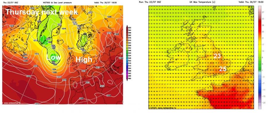
The weather model guidance recently and currently does not suggest a heatwave later next week, or the first weekend of August and certainly not temperatures into the 30s Celsius. In the near term, the jet stream will power up across the Atlantic and take aim at NW Europe from this weekend and through into early next week. This resurgent jet stream extending east across the North Atlantic and Britain will bring a succession of low pressure systems from the weekend and into early next week, bringing unsettled, cool and sometimes windy conditions.
Jet stream powering up and moving across Britain this weekend and through early next week
But the models suggest we could see the last of these lows by the middle of next week move away to the east and high pressure building in from the southwest Thursday and Friday. This build of pressure could allow temperatures to rise to end the week and into the weekend / first few days of August, but temperatures aren't indicated by models to reach or exceed 30C, though maybe reaching locally mid-to-high 20s in the southeast, according to one model. But this may change nearer the time. It does look increasingly look like the Atlantic lows may return next weekend, possibly earlier to end next week.
This weekend could be particularly inclement for High Summer, more like autumn, as a deepening wave moves east on Saturday, with a spell of wet and windy conditions in the morning clearing to heavy thundery showers, while Sunday sees sunny spells and showers in a brisk and cool westerly wind. More rain and showers can be expected quite widely early next week too.
Meanwhile, in the tropical North Atlantic, way to the southwest, Tropical Storm Gonzalo has formed, by itself nothing noteworthy for impacts for now out over the open ocean, but it is record breaker in being earliest 7th named-storm on record. The previous storms have been weak and not strengthened into anything more and, although there is uncertainty in Gonzalo's future intensity, there is more potential for for this tropical storm to intensify and become a hurricane in the coming days, which will be the first of the 2020 Atlantic hurricane season. There is potential for hurricane conditions in the southern Windward Islands this weekend, with hurricane watches being issued.
Further west still into the northwest Gulf of Mexico, Tropical Depression Eight is expected to strengthen as it moves west and bring tropical storm-force winds to the Texas coast, while heavy rains from this depression could bring flooding from Louisiana to Lower Texas.
Loading recent activity...