The weather is staying in a very unstable mood, with further storms and torrential downpours to come during the next few days.
I have fond memories of the 16th June from my younger days, as it always marked the start of the river fishing season. With warm, somewhat humid conditions expected in mostly light winds, it'll be ideal for fishing today that is if you don't mind a heavy shower being thrown in for good measure.
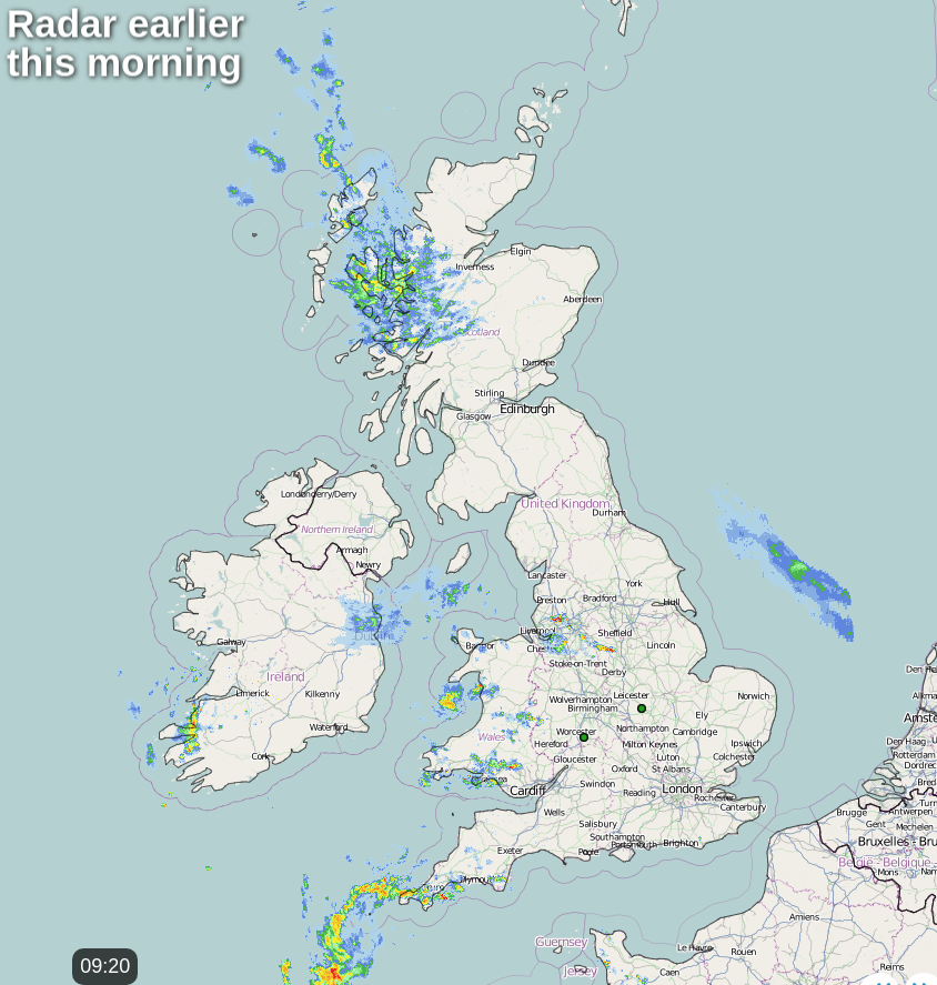
It's yet another grey misty start in many central and eastern areas with a little drizzle in places, but as on previous mornings, this'll eventually lift and clear. But towards coasts of North East England, the sea fret could persist as it has in prior days, keeping it much cooler here. In complete contrast, the Home Counties, in particular, are waking to glorious sunshine but it won't last in a mixed day, to say the least.
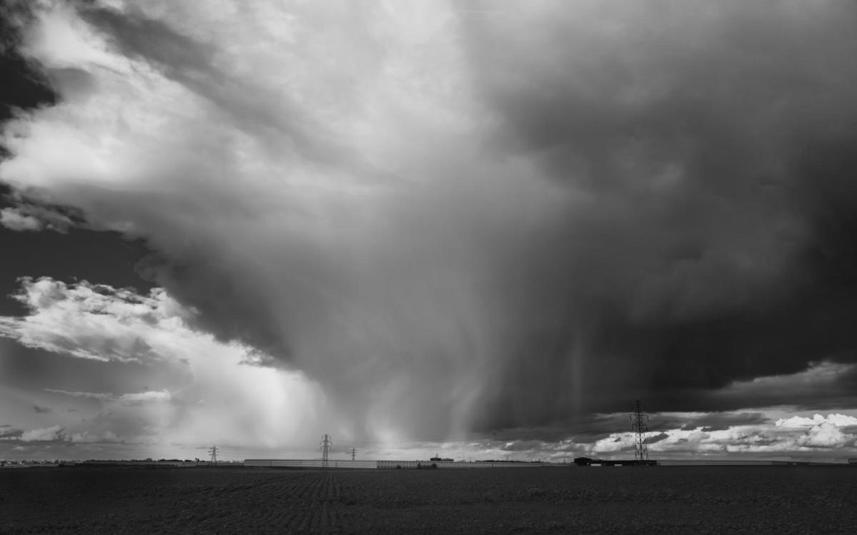
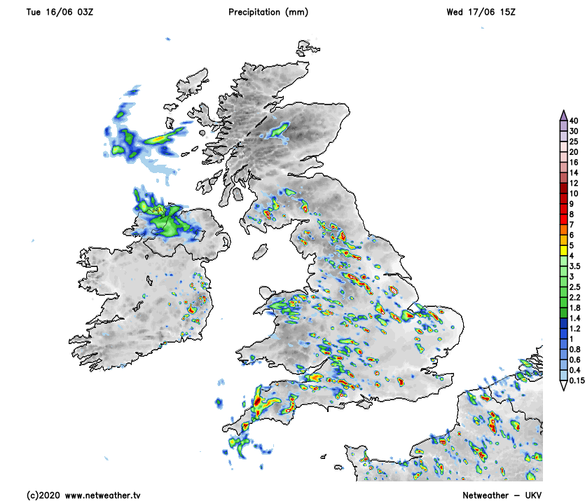
We already have a few showers mainly in the West, with some heavy ones across Cornwall and Devon. As temperatures rise mostly to between 19 to 23 locally 24C in the sunnier spots by the afternoon, showers will develop more widely particularly in the West. Some will be heavy, with warnings issued of thunderstorms giving local torrential downpours and gusty winds. The showers will also be slow-moving in the light winds so could be lengthy in a humid day, with parts of northern Scotland and southern England best placed to miss them and stay dry.
A storm forecast has been issued for today
The showers and storms 'rumble-on' into a warm, humid evening, but again not everywhere will see them before they largely fade after dark. Clear intervals develop and with winds remaining light it'll turn misty, with sea fret returning to eastern and some central areas. It'll be a mild night, with lowest temperatures 10 to 15C.
Wednesday brings only subtle changes, once mist and low cloud has cleared from eastern areas. There'll be sunny spells, but showers develop yet again, particularly during the afternoon. Some will be heavy giving thunder, local hail and gusty winds, with the North of Scotland most likely to see fewer showers once more. Winds remain mostly light from a northerly quarter in another somewhat humid day, with top temperatures 18 to 22C, but it'll be cooler along North Sea coasts where it stays misty.
The showers fade into the evening, with Scotland and Northern Ireland, in particular, seeing clear intervals after dark. With light winds, mist and a few fog patches will form in rural areas towards dawn, but these will be short-lived. Misty conditions also return to eastern England, with the South East and parts of East Anglia perhaps seeing some sharp bursts of rain moving in off the continent later in the night. A light breeze remains from a northerly quarter, with minimum temperatures 10 to 14C.
It remains mostly unsettled for the remainder of the week with further locally heavy showers, but there'll be some warm sunshine as well. By the weekend we may begin to see an improvement, with a fine very warm spell possible into next week just in the time for the summer solstice.