The brief visit of high pressure is already nearing its end. The weather then turns increasingly unsettled toward the end of the week with a real contrast in temperatures north to south.
For much of England and Wales, it's a high pressure type of day today, with some sunny spells breaking through and it'll stay mostly dry. But, that high is in retreat with some rain already affecting parts of Scotland and the far northwest of England. The unsettled weather will then spread through the remainder of the week.
For the next couple of days, much of any wetter weather will generally be in the form of showery or patchy rain. But it's set to turn very wet again across a good part of England, Wales and initially perhaps also southern Scotland during Friday and into the start of the weekend. At the same time, there is also the threat of gales or even severe gales.
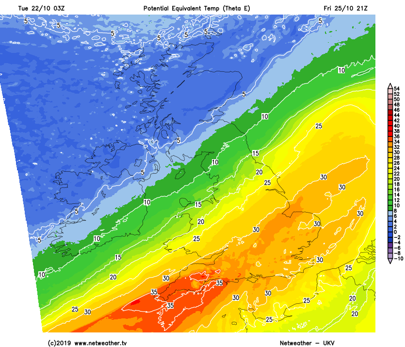
There will also be a real contrast in temperatures north to south by the end of the week. To the north, from Thursday onwards, it's likely to be cold enough for higher ground to see some snow. But in contrast temperatures in the south will be rising into the mid maybe even high teens. It'll be along the boundary between the colder and warmer air masses where the heaviest rain is likely, but at this stage, confidence in exactly where that will be is low.
Once the rain eventually clears away during Saturday, it's the chillier air which will have won out - leaving behind sunshine and blustery showers. These will be most frequent in the north and west and still wintry up over the hills and mountains in the north.
For now, though, the weather is in a less dramatic mood. There is some rain in the north and especially northwest - mostly over Scotland but everywhere else today stays dry. Any early fog and low cloud will lift during the day to bring quite widespread sunny spells from the midlands southward, but further north there will be more cloud. Temperatures will widely reach 11-14c today, although it'll feel cooler than that across the northern half of the UK with blustery winds.
The north-south split continues overnight, with plenty of cloud over Scotland, Northern Ireland and northern England. It'll be windy here too, with some outbreaks of rain continuing to affect the north of Scotland and clipping into Northern Ireland. Further south, there'll be some clear periods which'll lead to a few foggy, murky patches. By dawn, cloud will have increased across central southern and southeast England too, with a few showers beginning to break out.
Wednesday then sees unsettled weather making a bit of a pincer move on the UK and Ireland. We'll have a band of rain edging in from the west, crossing Ireland then getting into western Scotland and eventually northwest England through the day. Those early showers in central southern and southeast England will also be spreading further north. In those wetter zones, it'll also be windy and especially so in the northwest where gales are likely in exposed spots.
Into Thursday, the front which brought rain in from the west will continue to head east. It's likely to weaken overnight but may pep up again as it moves into the southeast later, to bring some heavy downpours. Elsewhere, it'll be a day of sunny spells and showery rain - with the majority of the showers likely to be in the north and west. By this stage, we'll also be seeing colder air arriving across the northern half of the country, so the blustery showers will turn increasingly wintry over the hills.
Friday is a difficult day to forecast. We'll have two low pressures in play - one just moving away from the north of Scotland and one steaming up from the southwest towards England and Wales. As that moves in, it'll bring some heavy rain and potentially very strong winds with it. The track and intensity of the low are quite unclear at this stage, so, for now, it's a watching brief, with details likely to firm up over the next 24/48 hours.