26th April 2019
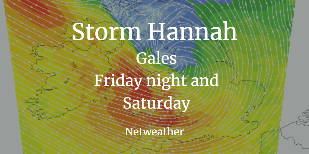
There will also be rain as the low moves through and a colder feel to the weekend as the winds veer to the NW. This is the eight named storm of the season, part of the Name our Storms project from Met Eireann and the UK Met Office.
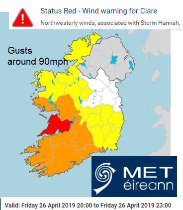
Met Eireann has issued orange and yellow wind warnings for the winds and today a red warning for Co.Clare with gusts for Friday evening around 90mph possible.
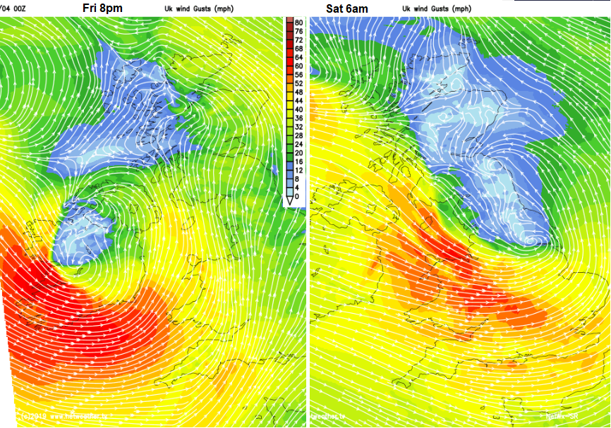
Forecaster Jo Farrow said ” Thinking back to last weekend, the Easter break with its warmth and sunshine, the start of this weekend will be very different. Westerly gales will hit Wales overnight and early on Saturday with rough seas for Irish Sea ferries. Saturday will see a windy start, away from north and east Scotland with the winds coming in from the Atlantic after a lengthy spell under an easterly flow. Friday night and Saturday morning will see an area of cloud and rain sweeping across much of the UK with blustery chilly NW winds for the rest of the day. Temperatures will be around 10 to 12C, when the UK saw the mid 20sC over the Bank holiday. Saturday night looks chilly with even a touch of frost as Hannah clears off to the Low Countries “
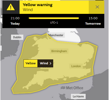
The UK Met office currently has a yellow wind warning for Friday evening and Saturday. Gusts around 50 to 60mph are expected with up to 70mph for exposed western areas. There will be rough seas and large waves for western Britain, especially the SW and also along Irish coastal areas.
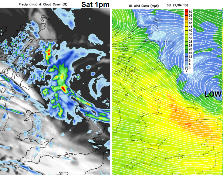
For some areas, the rain will be welcome after a lengthy dry spell, although it could spoil some Saturday plans. There may be some disruption from the gales with branches falling and difficult driving conditions on exposed roads and bridges early on Saturday.
You can find out the current forecast in your areas with our 7 Day forecast and by following us on Twitter and Facebook, as well as watching the current rain on the Netweather Radar for Android from the Google Play Store
Loading recent activity...