Plenty more Easter warmth and sunshine to come, but a few thunderstorms and showers may develop later on Easter Monday, as the fine weather starts to break down.
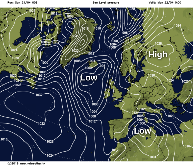
As pressure steadily falls, we'll see a change next week to somewhat cooler more unsettled conditions. This no doubt will be welcome news for the farmers and gardeners who certainly need some rain, but as far as the remainder of the extended Bank Holiday weekend is concerned, most parts stay fine.
Like yesterday morning we have mist and few fog patches to get rid of first thing, but these will soon clear to leave another beautifully sunny day across much of England and Wales. After a chilly start, it'll become warm or very warm once more, with afternoon temperatures In the range 21 to 24 locally 25C.

Winds generally will be light with afternoon sea breezes keeping some coastlines cooler. For some coasts of North East England however, it'll be warmer, as you will have lost that cold wind off the sea.
Scotland and Northern Ireland will also be mainly dry and fine, but here there'll be varying amounts of mostly medium and upper-level cloud. Nevertheless the East and South of Scotland and much of Northern Ireland will see some sunshine. The exception will be the Western Isles and the far North West where the cloud will be thick enough to produce showery bursts of rain.

Top temperatures here 13 to 15C in the West and 17 to 20C elsewhere in a mostly light or moderate southerly breeze.
The Western Isles and the far North West together with parts of Northern Ireland towards Donegal keep a lot of cloud into the evening. It'll also turn misty, but any showers should fade, with skies tending to break later in the night in a moderate or fresh southerly wind. Temperatures here though shouldn't fall below 7 to 10C giving a mild night. For England, Wales and remaining parts of Scotland and Northern Ireland, a fine pleasantly warm summery evening will be followed by a dry, mostly clear night. It'll turn misty chiefly in rural areas, and with light winds, patchy fog will form again. Some North Sea coasts may also see sea fret coming ashore, but it's not expected to an unduly cold night with lowest temperatures mostly between 4 and 8C.
As pressure continues to leak away, we'll begin to see a few subtle changes during Easter Monday but for most, the final day of the Bank Holiday will be yet another fine one for you to enjoy.
Once early fog patches have dispersed there'll be a good deal of sunshine again, although a few areas of mist and murk towards some North Sea coasts could take a while to lift and clear. The sunshine may also tend to become somewhat hazy later in the day when cloud develops sufficiently across the South West to produce the odd sharp shower.
A mostly light or moderate East or South Easterly wind will be quite fresh and somewhat blustery in the far West and across Northern Ireland. This'll make some North Sea coasts cooler again, but inland, temperatures should reach a warm or very 18 to 24C again.
For most, it'll be another quite warm summery evening, followed by a mild night that'll turn misty. Most places stay fine, although across the South West, South Wales and southern England there could be a few showers 'dotted' about, locally heavy perhaps with thunder. This is a threat though, more than a promise and most places will stay dry. Temperatures seem unlikely to fall below 6 to 8C in the North and East and 8 to 12C further South in a mostly light or moderate East or South Easterly breeze.
Today's photo: Ynys Llanddwyn in Anglesey