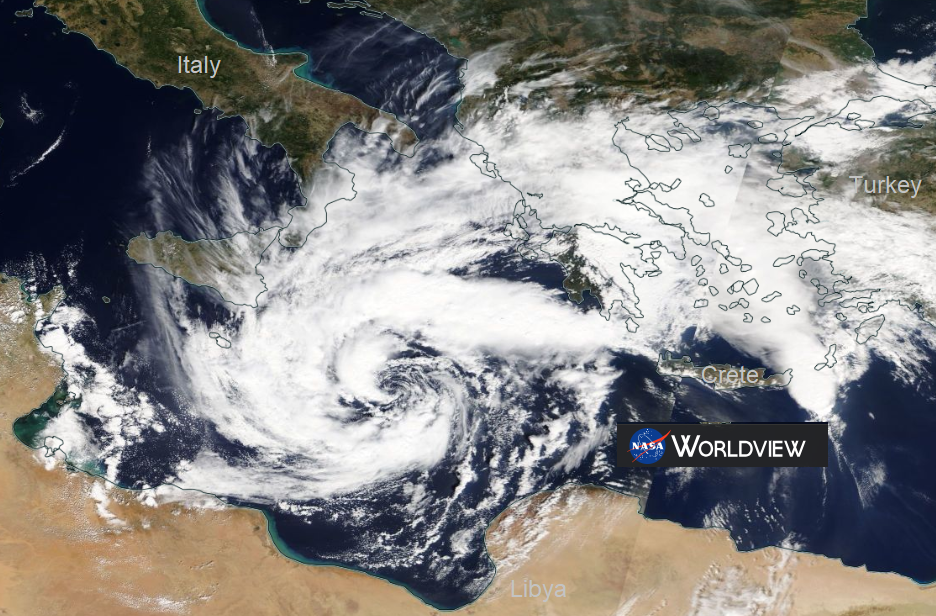
2018 Signs of a 'Medicane' forming near Greece. An unofficial term for a deep cyclone in the Mediterranean. A low pressure bringing gales, heavy rain and high waves, not good holiday weather.
Sept 2018 You could be heading to the Mediterranean at this time of year in search of sunshine and September warmth, with visions of eating outside and a last outing for your summer clothes before the UK winter takes hold. However this week Greece and possibly southern Italy and Malta, Albania and western Turkey are in for some wild weather. Heavy rain and gales whipped up around a deepening area of low pressure.
Low pressures do form over southern European, the Genoan Low is one famous type but this one shows signs of becoming a "Medicane". This is an unoffical term for a low which shows tropical characteristics and can bring violent weather in the Med. They don't occur too often, we talked about one last year.
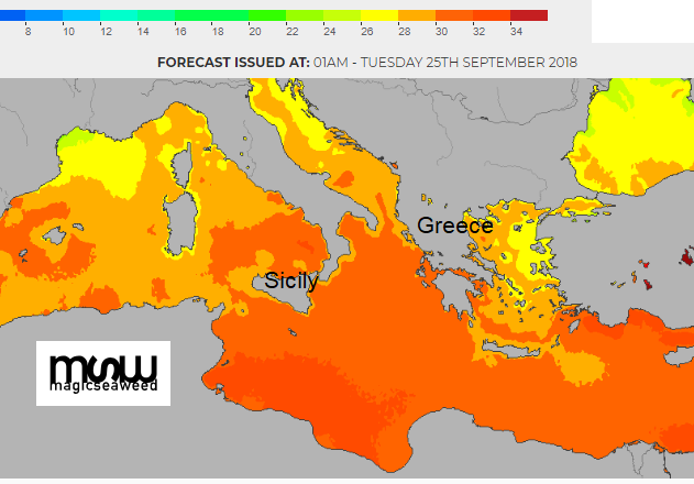
Warm waters below and cold air aloft

They are quite unusual especially if an eye forms and is visible on the satellite pictures. This can happen. The sea waters are still very warm. The bad weather tends to stick around for many days. Sometimes the system just drifts about slightly but it can result in severe flooding and wind damage. The sustained winds can reach hurricane strength and the seas are wild.
GALE WARNING ON METAREA 3
HELLENIC NATIONAL MET. SERVICE
WARNING NR 313 - FRIDAY 28 SEPTEMBER 2018/1000 UTC
GENERAL SYNOPSIS 28-09-18/03 UTC
LOW 997 OVER SIDRA FIRSTLY REMAINS NEAR STATIONARY AND FROM THE
28/18 UTC IS MOVING GRADUALLY EAST NORTHEAST, DEEPENING AND IS
EXPECTED 994 OVER KITHIRA SEA BY 29/09 UTC. HIGH PRESSURES 1028 OVER
NORTH BALKANS
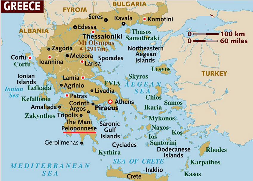
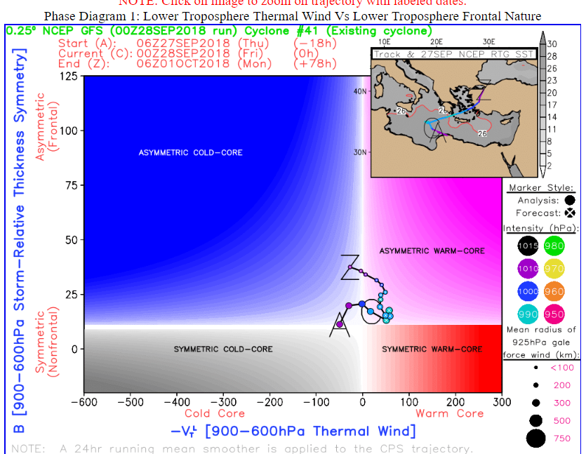
The models have all been keen on a distinct, threatening low pressure. The consensus is now for the deep low to move across Greece into the Aegean Sea by the weekend.
So if you are off on holiday or know someone who is this week/weekend, it may not turn out quite as they imagined.
Netweather forum Medicane Mediterranean Storm