A lot of settled weather across the UK for early September. Rain lurking for Norhtern Ireland on Monday but heat for southern BRitain next week.
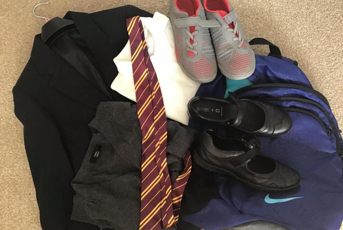
Many of the schools across England, Wales and Northern Ireland start back at the beginning of September. This weekend will be busy with school shoe purchases, where is the PE Kit, does that jumper fit from last year and endless naming of anything that is not moving. There are always mumblings that the weather tends to improve when the children go back to school. This year it does look like we'll be in for a settled, fair spell. Farmers and teachers will be pleased.
Nobody wants indoor playtime the first week back.
There is some rain in the forecast, it's not completely dry but overall as high pressure builds over the UK there will be light winds, sunshine and many areas stay dry. And warmth for the southern half of the UK, shorts and summer dresses could get a bit more wear.
TEMPERATURES -There will be some cooler nights so it might be that there is a bit of nip in the air first thing. Resist demands to get winter coats from the back of the cupboard. There is still warmth to come particularly for England with temperatures up to 27C on Monday, 18C Northern Ireland by Wednesday and the mid 20sC for south Wales on several days.
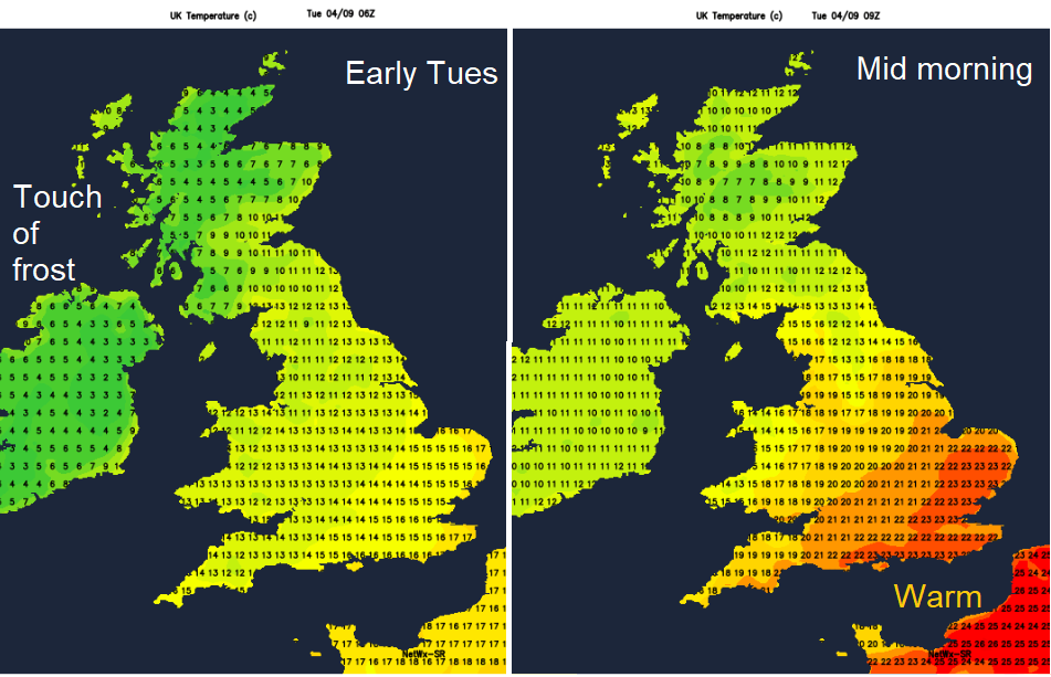
Start days vary but if you do still have Monday 3rd off it looks very warm for SE Britain, a super day.
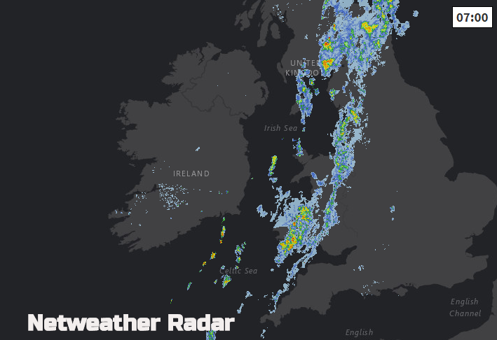
RAIN - For Northern Ireland on Monday, the rain has moved through, a cold front heading in from the Atlantic. Northern Ireland is left in cloudy and fresher conditions for the journey to school. Remember the Netweather Radar will show how far away the rain is. It will also be cool but bright, Belfast up to 14C.
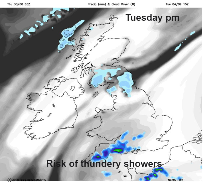
Tuesday looks very warm for southern England, East Anglia, the southeast and the Midlands and warm for Wales too. There could be isolated heavy or thundery downpours for SW England and the Channel Islands. As always with showers, most places will miss them and stay bright but it could be that some spots get a soaking and that is more likely to be at home time.
The only other thing for Tuesday is the NE wind off the sea. Light winds could bring low cloud to Northumberland, Tyne & Wear and Co Durham making it feel cool and damp. A more easterly wind continues on Wednesday so eastern coastal parts of England will see lower temperatures but SW Britain heats up for midweek. As will Wales and Manchester in the more sheltered west. UV values will still be moderate so do remember the all day sunscreen.
If it is a big first day, good luck. Hope it all goes well, overall the weather is fine and settled throughout that first week. For the Scottish schools who have been back a week or two, there will be a lot of fair weather after Monday but it will be feeling cooler out of the sun, even with some frost on the grass first thing.