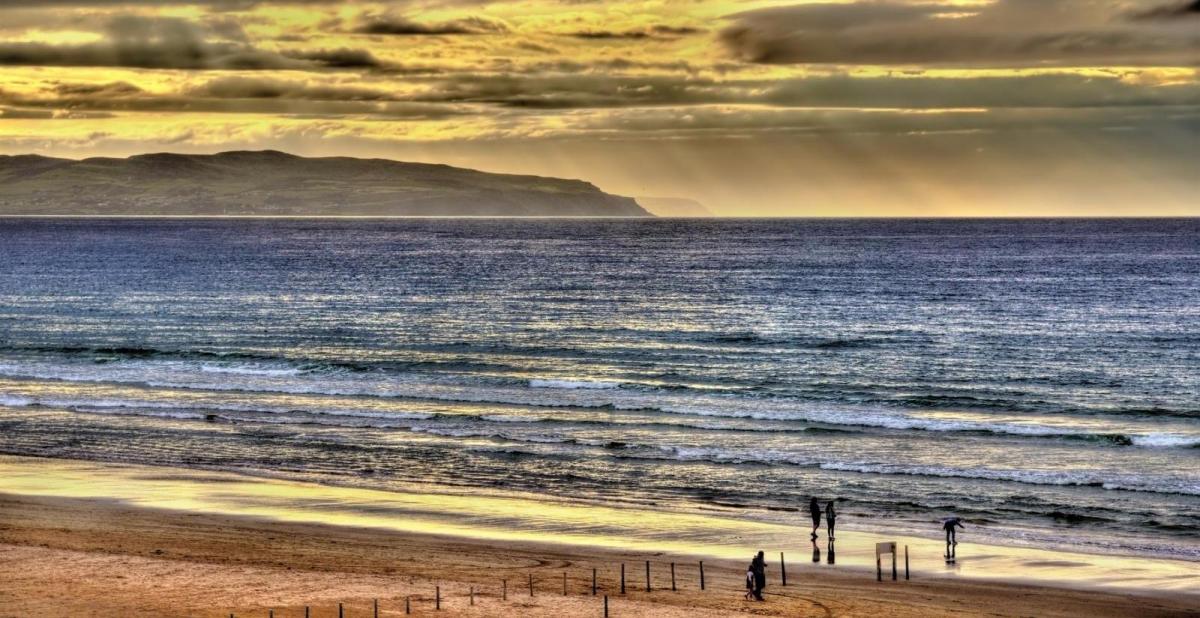
The last of the heat is being squeezed southeast today with fresher air, sunshine and scattering showers following. There's also a risk of storms in the still hot southeast corner later.
So this is it, the last of the heat is leaking away southeast today, with the majority of the country now into the fresher air. The heat may well return, in fact, the monthly forecast (updated yesterday) is suggesting the final third of the month is likely to see high pressure back with the chance of some hot air accompanying it at times.
For many, today will start, and stay dry. There will be a few showers affecting northern and western regions at times throughout, and then through the afternoon and evening, the risk of some thunderstorms running up into southeastern regions grows. Not everyone will catch one, and it may well be that most of them just clip Kent before quickly clearing into the North Sea. But should one move through, you're likely to know about it with some torrential rain and frequent lightning possible.
A detailed storm forecast has been issued for today, you can read it here.
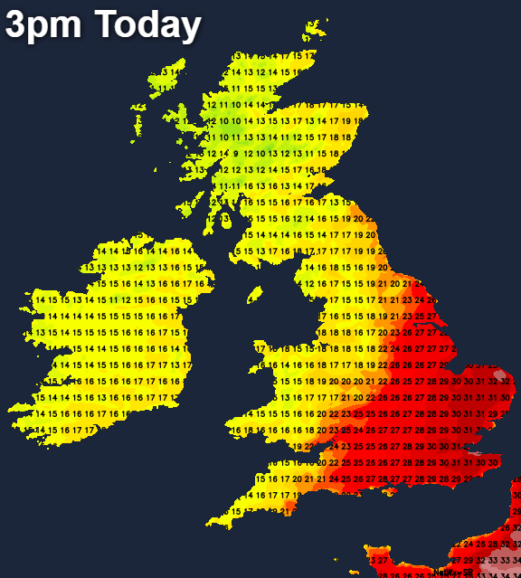
Temperatures today will still be hot in the southeast, with highs up into the low-thirties again. Central, southern and eastern England will see maxes of 25-28c. But away from those regions, a fresher, cooler 17-21c will be more typical, with the cooler air edging every further southeast through the day - so temperatures will peak early for some.
Overnight tonight, any showers in the southeast will move away, but a few showers will remain in the west, becoming more frequent into the early hours. That sets us up for more widespread showers into tomorrow. They'll still be most frequent in the north and west but will spread further east than they managed today, with the southeast corner and East Anglia having the best chance of missing them. Between those showers, there'll be plenty of sunny spells and despite temperatures heading back down nearer to normal. it'll still feel pleasantly warm, with a fresh breeze. Highs in the southeast will reach 21-24c, elsewhere 17-20c will be more like it.
Thursday will be a very similar day, but with the southeast corner perhaps getting in on the shower action a little more. Into Friday, the showers in the west will continue but they'll eventually be replaced by a spell of wind and rain moving up from the southwest as low pressure moves in.
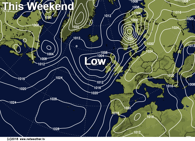
That'll be with us into Saturday morning, with a more humid feel returning for the southern half of the UK in particular. The rain will clear through to leave sunny spells and blustery showers behind it, and they'll last into Sunday with fresher air moving back down from the northwest again as we close out the weekend.