


There will be heat, sunshine but also heavy thundery showers and a cool easterly breeze. Warm for most and hefty downpours for a few.
Well done for making it through all the GDPR privacy, settings and conditions emails this morning, have another cup of coffee. It’s a bank holiday weekend coming up and the weather will include heat and sunshine, with a few blips.
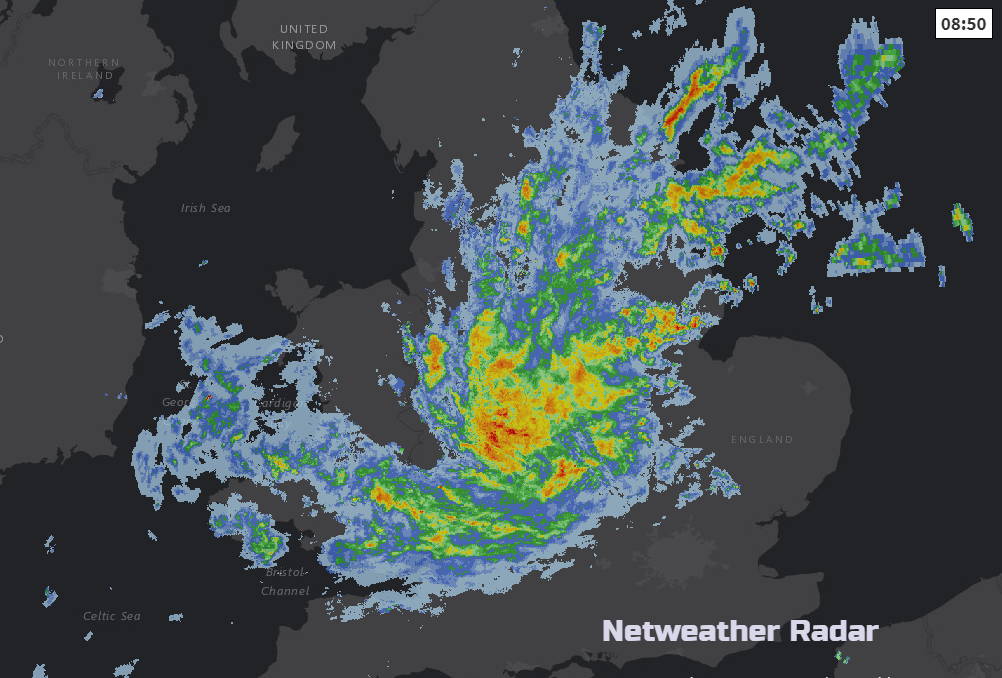
So, heat and warmth this weekend as temperatures look set to reach the high twenties, maybe a 30C somewhere (86F). It’s not a simple dry, sunny picture although northern Britain should see plenty of that. We have rain this morning for England and Wales and the threat of hefty, thundery downpours remains throughout the Bank Holiday weekend but for a smaller geographical area, often SE Britain.
Top temperatures yesterday were in East Anglia, before the rain, reaching 25.2C near Cambridge. Around Loch Ness also had a very warm day at nearly 24C. Other western parts of England including the Lake District had a super day with sunshine and heat again into the low 20s. However, with a breeze off the North Sea, and lingering low cloud some NE coastal areas stuck at only 11C, as a maximum temperature.
This morning much of the low cloud has shifted, there is still a bit lingering through the Central Belt and SE Scotland into NE England, with new areas through the English Channel today. There is a weather front to the NW of the UK bringing cloud to much of Northern Ireland but there is glorious sunshine to start the day for Co Down. These differences are a result of the wind turning to the north, but it will veer to the NE and E again by tonight.
The main swirl of cloud and rain is centred over England and Wales. One arm moves northwards into northern England today, bringing more cloud and outbreaks of rain with more rain moving into Wales from the east. Southeast England will also brighten up as the rain heads NW and temperatures will then respond to the sunshine. Northern Ireland brightens up and will have a fine day as will most of Scotland although low cloud will drift onto the north coast from the Moray Firth.
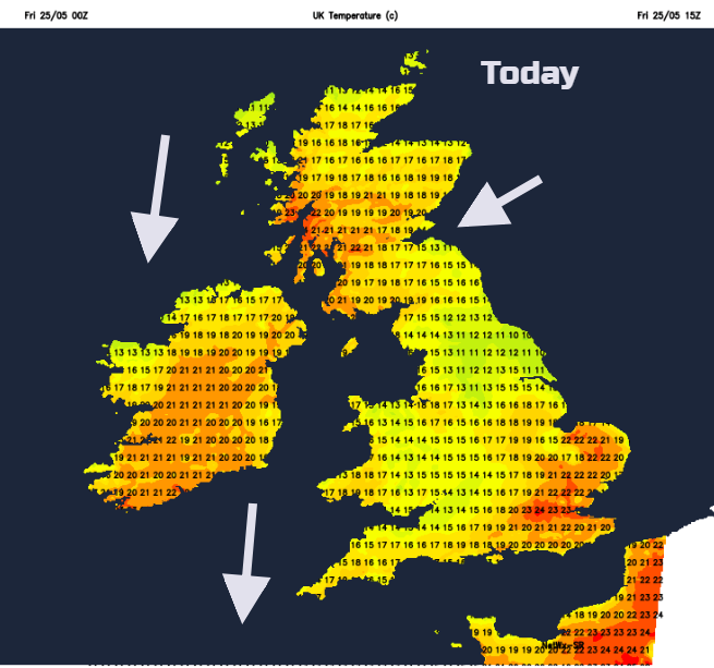
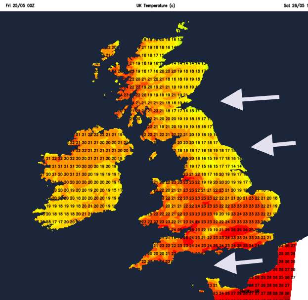
Again, we will see NW areas up to 22 or 23C and similar values for SE Britain with light winds. It will be a gorgeous end to the working week here, but perhaps feeling a bit humid for some. The weekend will be even hotter.
Overnight the rain fades but there will still be a good deal of cloud. High pressure will stay away to the north, feeding low cloud in from the far NE but bringing a lot of fine, sunny weather. To the south of the UK is an area of low pressure which will throw heavy thundery showers across parts of the UK from time to time. In-between there will be a brisk east wind but also a lot of sunshine.
Areas at risk on Saturday look to be southern and SW England and the southern half of Wales. As the thunderstorms come through there will be the risk of torrential downpours, strong gusts, hail and lightning. Exact locations for the downpours can’t be pinpointed at this stage, that will have to be left til nearer the rime whilst watching the radar. It will be hit and miss with localised flooding possible for one location and a mile or so down the road getting nothing. In the fine weather, remember your sunscreen even through the cloud, the UV rays can still reach you.
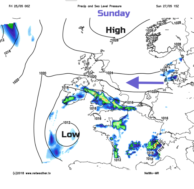
Saturday night will be fine for most but still the heavy showers rotate over SW Britain. By Sunday it looks like the thundery showers will move up over Wales, maybe trailing into central southern England, but away from Devon and Cornwall.
The easterly wind will keep North Sea coast resorts fresher feeling but there will be sunshine. Sunny spots will see temperatures from 20 to 28C, Northern Ireland and western Scotland again doing very well. The thundery showers rumble on overnight
Bank holiday Monday with lighter winds will again have high temperatures. The east coast will be grey, even damp at times and so cooler and that cloud will take its time in the morning to retreat and burn off. For the SW half of the UK, the threat of heavy thundery showers remains but they will be well scattered.


