
Snow showers in eastern areas today, then band of snow moving SE Tuesday. More wintry weather later in the week
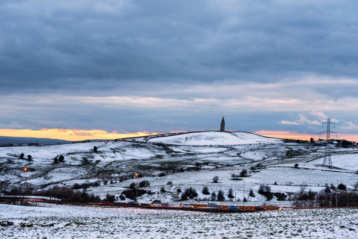
We are in for a cold week and many of us will see some snow at some point too. Occasionally heavy snow showers will affect the southeast of England today – with snow flurries further north towards the east, then tonight a band of sleet and snow will move southeast across northern and central parts, giving some accumulations, before moving across England and Wales on Tuesday, followed by snow showers in the west and northwest. Then rain, sleet and snow looks to spread southeast through Thursday and into Friday. There will be a lot of dry, cold and sunny weather around though in between these bands of wintry weather moving southeast, with a risk of widespread frost developing overnight.
For now, trains of heavy snow showers have been affecting Kent, Sussex and coastal areas of East Anglia overnight, with some snow flurries also affecting over and east of the Pennines further north.

The snow is settling in these areas, so there is a risk of slippery stretches on untreated roads and also where showers are heavy enough to accumulate on major roads that have been treated. There has been some accidents on some roads in Kent affected by heavy snow this morning. Elsewhere it’s a mainly clear but frosty start, with many places close to or a little below freezing, as low as -5C in the north.
A largely dry and bright or sunny but cold day in store for most areas, away from eastern coastal areas and SE England, where we will see sleet and snow showers continue through the day, heaviest across Sussex, Kent, Essex and Suffolk, where there will give further accumulations, especially over higher ground. A few snow flurries are possible away from eastern England, some wintry showers affecting east coast of Ireland and Northern Ireland, but on the whole dry.
Temperatures reaching 3-4C generally, so a cold day, exacerbated by a brisk northeasterly breeze across the far of SE England and coastal East Anglia, winds light elsewhere.
A band of rain, sleet and snow will move southeast into Northern Ireland and western Scotland this evening, falling as snow inland as it bumps into the cold air to the east. Then outbreaks mostly of snow spreading southeast across Scotland, northern England and Irish Sea coastal areas of Wales overnight. Weather warnings for snow and ice have been issued. Mostly dry and clear further south and east across Wales and much of England, leading to a widespread frost and risk of ice where showers have fallen. A few snow flurries still possible near eastern coasts.

A band of snow along an occluded front continues to move southeast across England and Wales during Tuesday, bringing some accumulations, even to lower levels. Dry and bright or sunny ahead of it after a frosty start, perhaps staying dry across southern England across to East Anglia until after dark. Sunnier conditions following across Scotland, northern England and N. Ireland behind the band of snow moving southeast, but with snow showers affecting northern and western coastal areas driven in by a strengthening north to northwesterly wind.

Band of snow clearing SE England and East Anglia Tuesday night, then turning cold and frosty under clearing skies with risk of ice where snow has fallen, further snow showers around northern and western coasts. A cold, bright and frosty start to Wednesday for most, which will lead into a mostly dry and bright or sunny but cold day, with just a few wintry showers around coasts. Wind and rain spreading in across the far northwest during the evening, turning to snow over Scottish mountains.
Wet and windy with hill snow across Scotland and Northern Ireland on Thursday, the rain only slowly spreading southeast into northern England and west Wales by evening, drier with some sunshine and colder across the rest of England and Wales, staying cold after a frosty morning, less cold in the brisk southwesterly wind further north.

Rain, sleet and snow pushing down across England and Wales Thursday night slowly clearing SE England and East Anglia on Friday, elsewhere a mostly dry and sunny day but still cold, with sleet and snow showers across the northwest.


